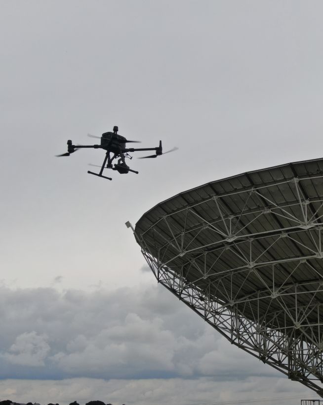
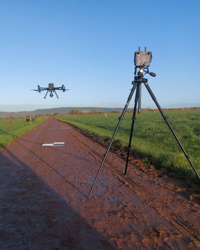
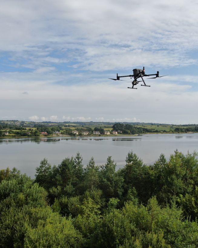
Drone photogrammetry and 3D mapping
Make a digital twin of an asset, so everyone at the office can access it.
Make a digital twin of an asset, so everyone at the office can access it.
A 3D model of your asset allows your whole team to study, whenever and wherever they choose. No more transportation of people to and from the site, saving you both time and money.
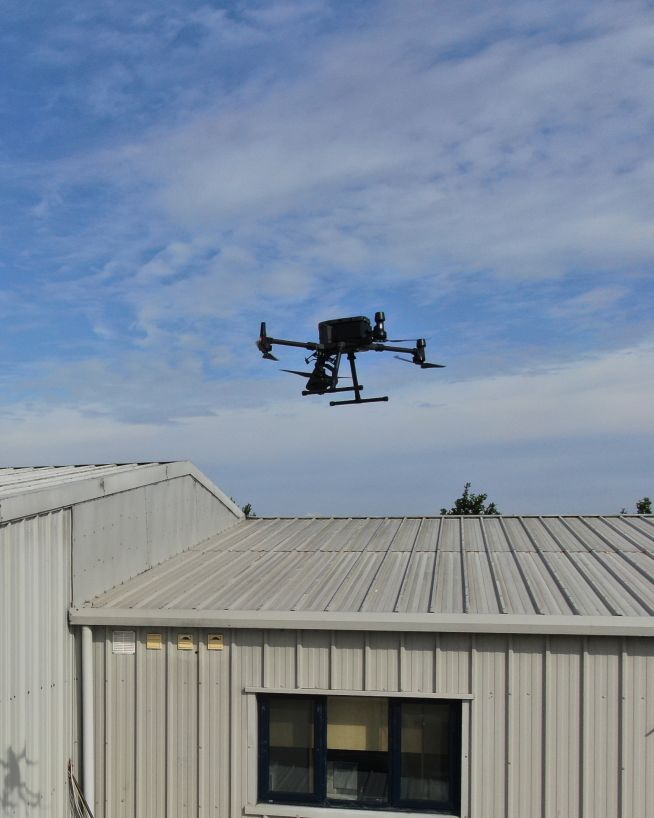
Using cutting-edge drone photogrammetry and 3D modelling technology, we'll provide you with a high-resolution and photorealistic replica of your asset. Following your specifications, Engineers With Drones will create a digital version of your infrastructure, site, object or landscape that's tailor-made for you.
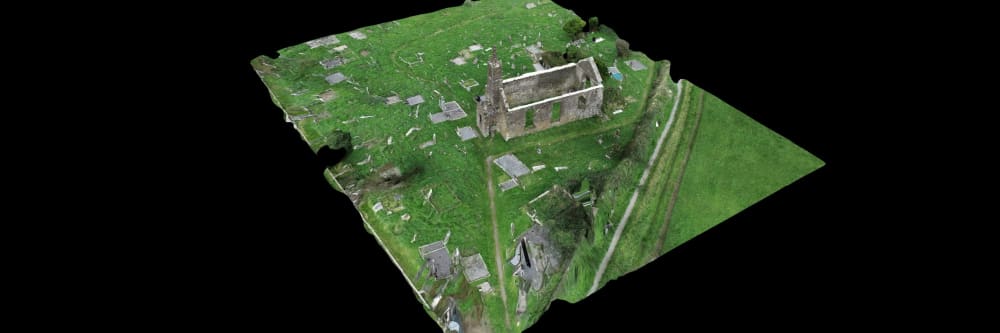
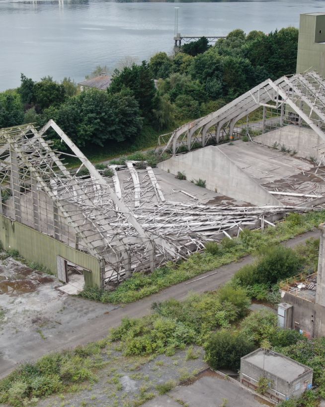
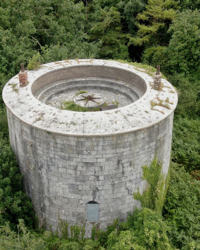
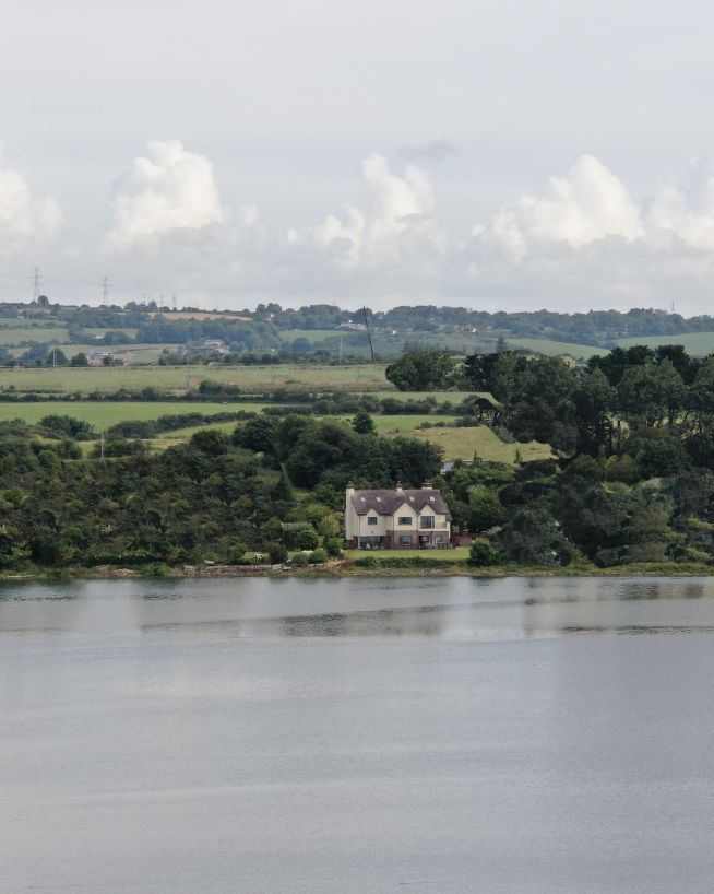
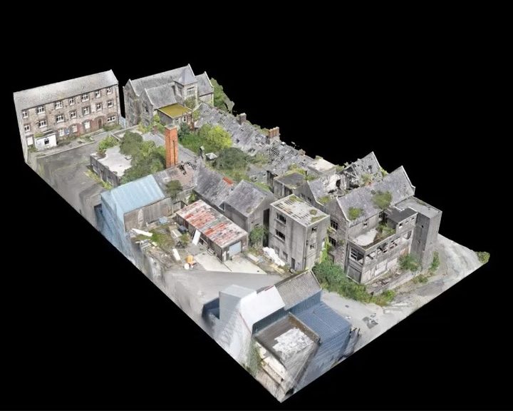
Travel across this site from above in our screen recorded video preview of our interactive 3D map. Zoom, pan and explore every detail yourself by launching this featured landscape project, the link is underneath this video.
Visit the interactive map of this featured project to explore terrain, structures, and site details in full.
Find cracking in concrete structures and easily localise them on an accurate three-dimensional model.
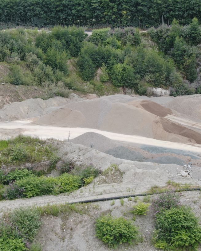
Monitor earthwork changes over time for a fast and cost-effective way to avoid any discrepancies.
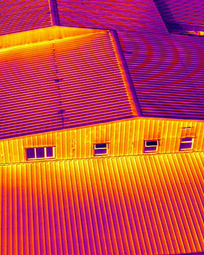
Combined with thermal imaging, easily pinpoint any areas of water drainage and damage.
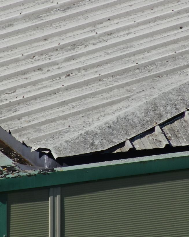
Easily locate and isolate any areas of your asset that have been affected by erosion or corrosion.
Combined with thermal imaging, easily locate cold spots or poor insulation coverage.
Discover potential and current defects on haul roads and access routes caused by vehicle and machinery traffic.
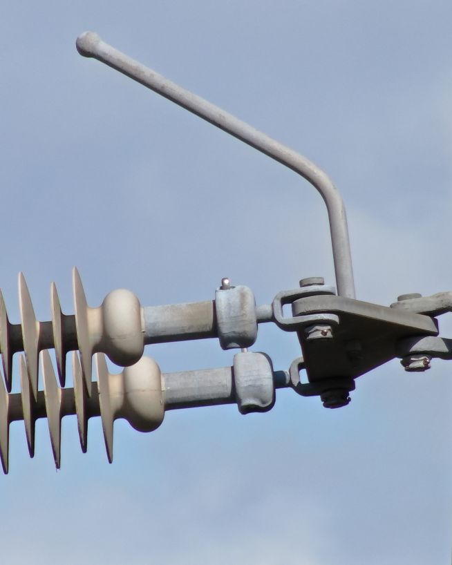
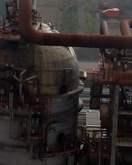
We use cutting-edge technologies to detect problems that would otherwise be invisible. These include 4K ultra-HD photography/video, LIDAR and thermal imaging.
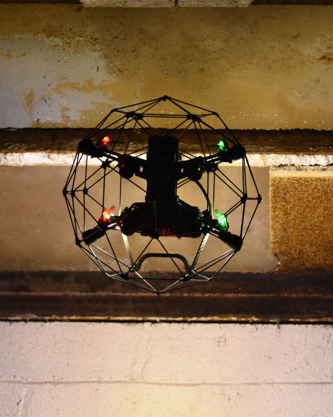
Drones aren't just for flying up in the sky. Our specialist drones can fly into confined spaces like chimneys and boilers to look for issues that would otherwise be inaccessible.
Downtime is expensive and inconvenient. Using a drone, our engineers can conduct a thorough survey with little to no downtime.
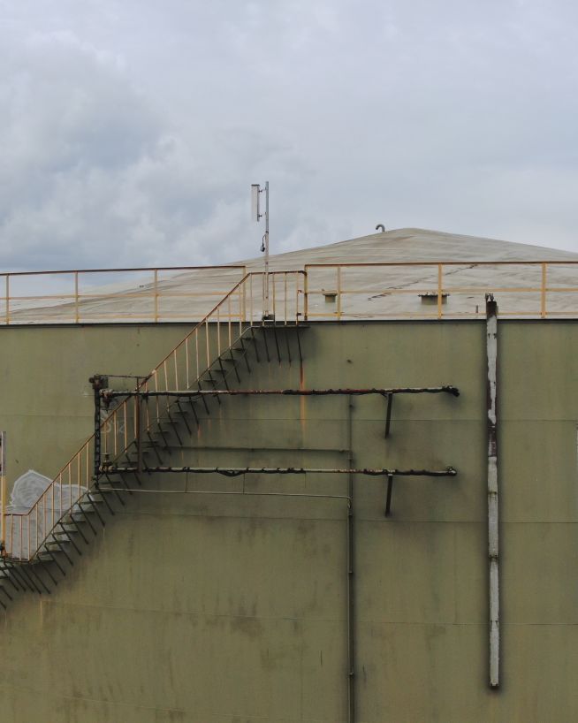
Our equipment won't touch or even go close to your assets. Our high-resolution cameras use optical zoom to give extreme close-up views while staying a safe distance away.
We understand that you need answers fast. We can deliver a plain-English report with clear-cut conclusions in days. Then, you can take the steps you need to and get back to doing what you do best.
Need us there in a hurry? No problem. Let us know what you need, and we can be there on the same day. After all, sometimes the problem just won't wait.
Sometimes the brief can change even in real-time. If need be, you can be stood there right next to the drone operator, directing them as the situation develops.
The safety of your personnel and our own is paramount, and we place it at the forefront of our company culture. Ask us about our HSSE systems and practices.
3D mapping is incredibly versatile, and we use it in various types of inspections serving multiple industries.
Get fast, usable data from a safe distance
Eliminates downtime and safety concerns, at a fraction of the cost
Instantly usable data via a safer and more cost-effective process
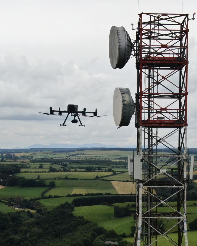
Get critical data on cell and telecommunication infrastructure
Assess damage quickly and with pinpoint accuracy
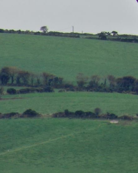
Accurate and efficient analysis of crops and land
Fast, actionable data without the risks of traditional inspections
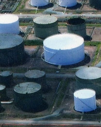
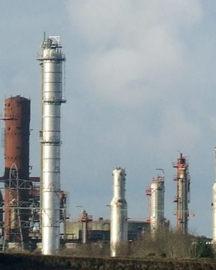
Safer and more cost-efficient flare (oil and gas) inspections
Instant, actionable data with no downtime
Faster, cheaper and more accurate analysis of land
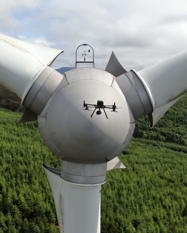
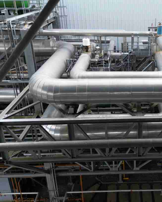
Inspect and maintain energy assets without risk or downtime
Actionable data from a safe distance, with less downtime
Accurate, safe and instantly actionable data collection
Monitor status and progress without downtime
Record and document reliable visuals without safety concerns
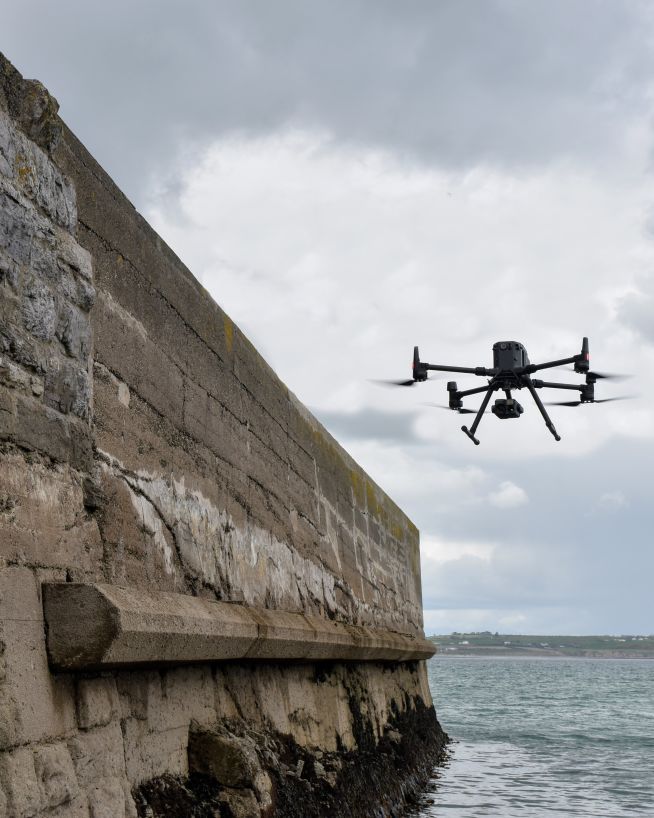
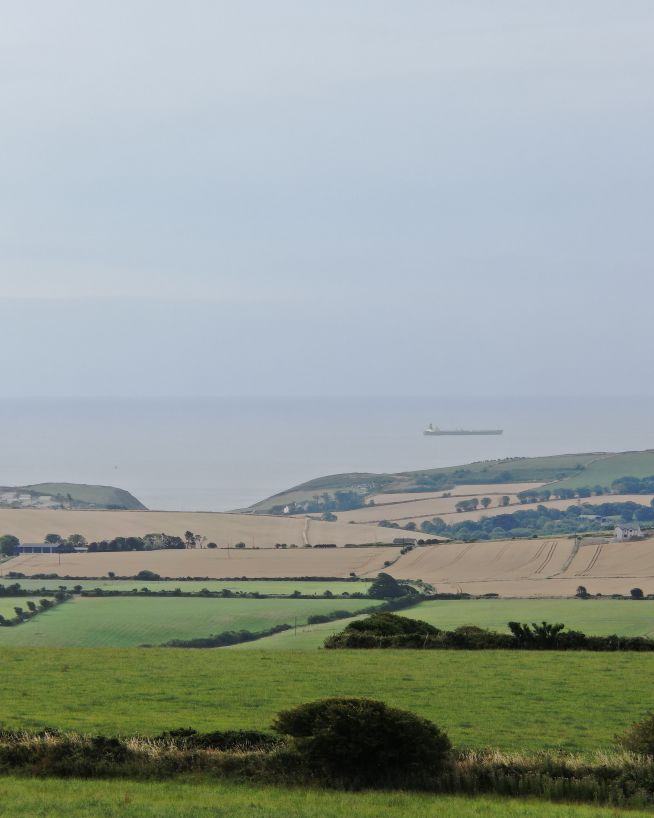
Monitor coastal assets safely and with more precision
Safer, more cost-efficient, with less downtime
Safe, precise and instant reports on vessels and infrastructure
A more cost- and time-effective way to receive critical data
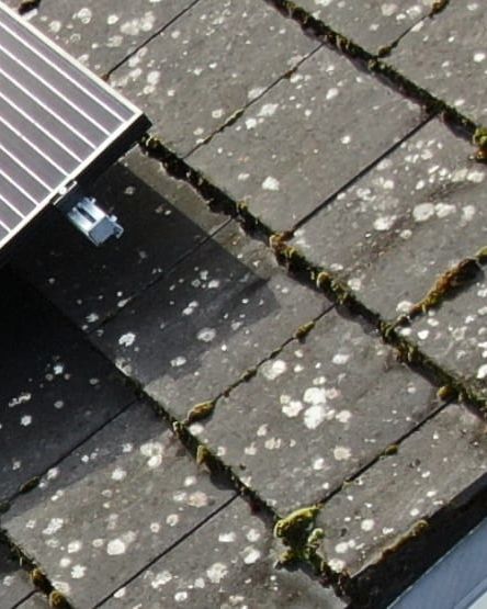
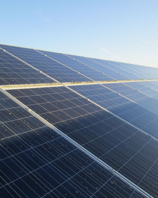
Ensure solar panel efficiency from precise data collection
Critical, pinpoint details with none of the risk
Clearer, faster results without the risks
Safer and cheaper underwater ROV inspections
Efficient, fast and safe.
Safer, more precise data collection at a fraction of the cost
Instantly view complex structures, keeping risks to a minimum
Eliminate safety concerns, save costs and reduce downtime
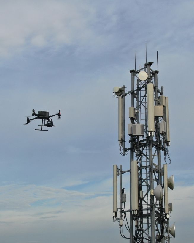
Verify radio path clearance and link feasibility for telecoms infrastructure
Analyse historical buildings without risk to people or property
Add "Wow Factor" to residential and commercial property listings
Get actionable data on quality and operational health


Engineers With Drones is the first company in Ireland to hold the new EASA Specific Category authorisation. We are authorised by the Irish Aviation Authority (IAA) and the European Union Aviation Safety Agency (EASA) for commercial Unmanned Aerial Vehicle (UAV) operations in both urban and rural environments. Total transparency: our Specific Category Authorisation Number is IRL.UAS.AUTH1002.
All of our operations are insured in the EU and globally. We hold €6.5m public and product liability, €13m employer's liability and €1.3m professional indemnity (base level, coverage raised as required).
We are more than just drone pilots. If you're looking for overhead footage of your wedding reception, we're probably not right for you. Our backgrounds and our primary qualifications are in engineering, and it's here that we think we add the most value. We know what we're looking for, and we know how to find it. If you have a technical engineering problem that a drone can solve, we can understand you. Tell us what you need to see or find out, and our engineers will use their drone piloting skills to make it happen.
Yes. We're a local Irish company, and that's how we can respond so quickly to the needs of our Irish clients. We can be with you in next to no time, with the right equipment and certifications to operate them, whatever your location.
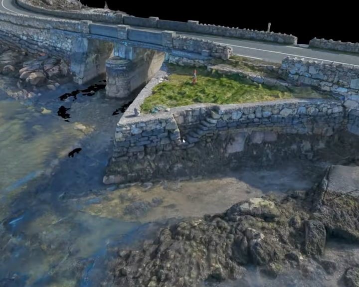
Engineers With Drones surveyed four historic stone causeways in west Galway using photogrammetry to create high-resolution 3D models and technical deliverables.
Engineers With Drones used external 3D scanning and internal confined space drones to survey a derelict hospital building in Wexford for restoration feasibility, without placing any personnel at risk.
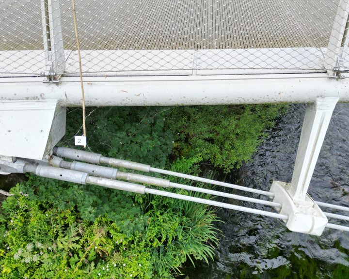
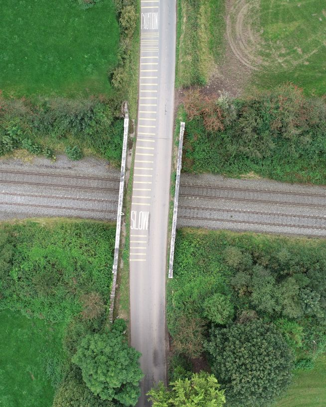
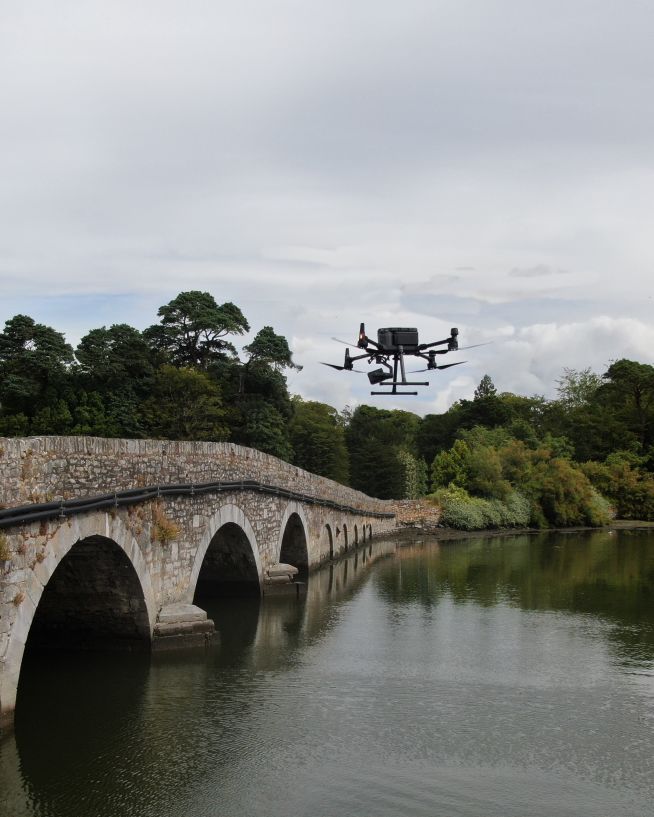
Drone bridge inspection case study — using a drone to conduct a detailed inspection of a 350-metre pedestrian bridge with an intricate cable-truss design that makes thorough manual inspection difficult.
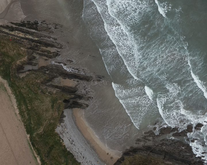
Engineers With Drones surveyed 17 coastal sites across Ireland using drone technology to assess their potential as landfall sites for offshore cables.
Optical zoom is a feature found in cameras that allows you to change the focal-length of the lens, which in turn magnifies the image. Unlike digital zoom, which simply enlarges the pixels of an image, optical zoom physically moves the lens elements to zoom in or out, resulting in a higher-quality, more detailed image.
Optical zoom is better than digital zoom for several reasons. Firstly, optical zoom maintains the image quality and sharpness because it captures more detail from the subject. In contrast, digital zoom often results in a pixelated, blurry image because it enlarges the existing pixels of an image, which degrades the quality.
Secondly, optical zoom allows you to get closer to your subject without physically moving closer, which can be useful in situations where you cannot or do not want to approach your subject closely. This can be especially helpful for wildlife photography or for taking photos of events from a distance.
Overall, optical zoom is a valuable feature that can help you capture high-quality, detailed images from a distance, making it a must-have for many photographers.

UHD or Ultra High Definition signifies that a camera's resolution is 3840x2160 pixels. This is exactly four time higher than high definition cameras (1920x1080 pixels), and so UHD is often also know as 4K.