We have worked with some of the biggest names in Ireland's telecoms sector. Our engineers have years of experience carrying out inspections and surveys of all kinds of assets, structures and landscapes. They understand the critical need to minimise downtime while guaranteeing the safety of all personnel and operational assets on site. Tell us what you need. It's our job to deliver it for you.
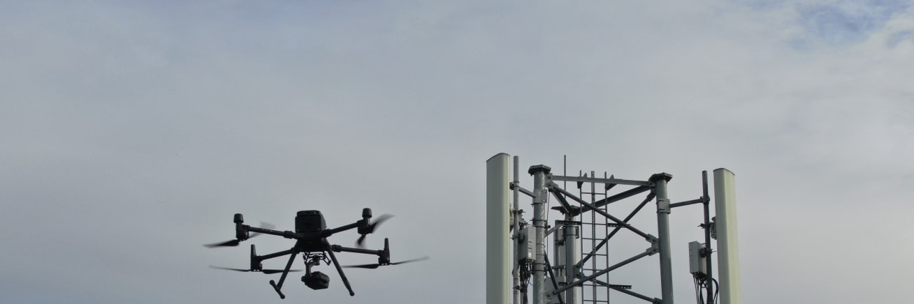
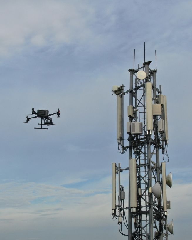
Inspect critical telecom tower infrastructure with precision. Our engineers can conduct aerial surveys of towers, antennas and other telecom-sector assets. By identifying corrosion, structural damage or operational inefficiencies, these inspections can boost speed to decision while ensuring the longevity and safety of key infrastructure.
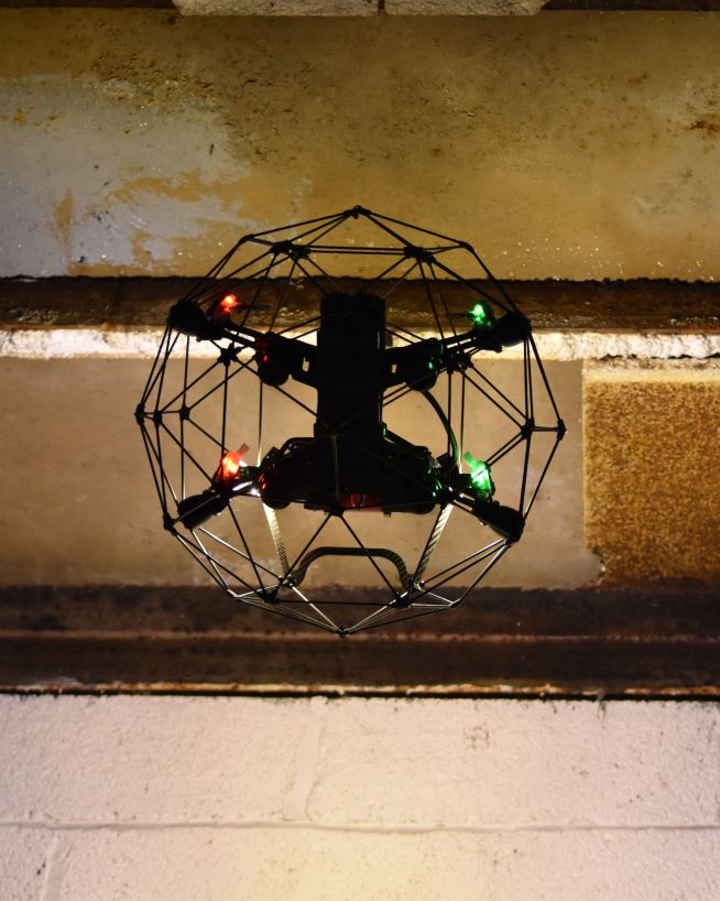
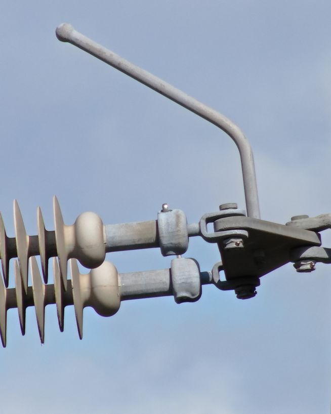
Fitted with the latest high-definition cameras, our UAVs can inspect towers and above-ground infrastructure for signs of corrosion, cracks or other structural wear. This reduces the need for scaffolding or manual inspections, improving safety and minimising disruption.
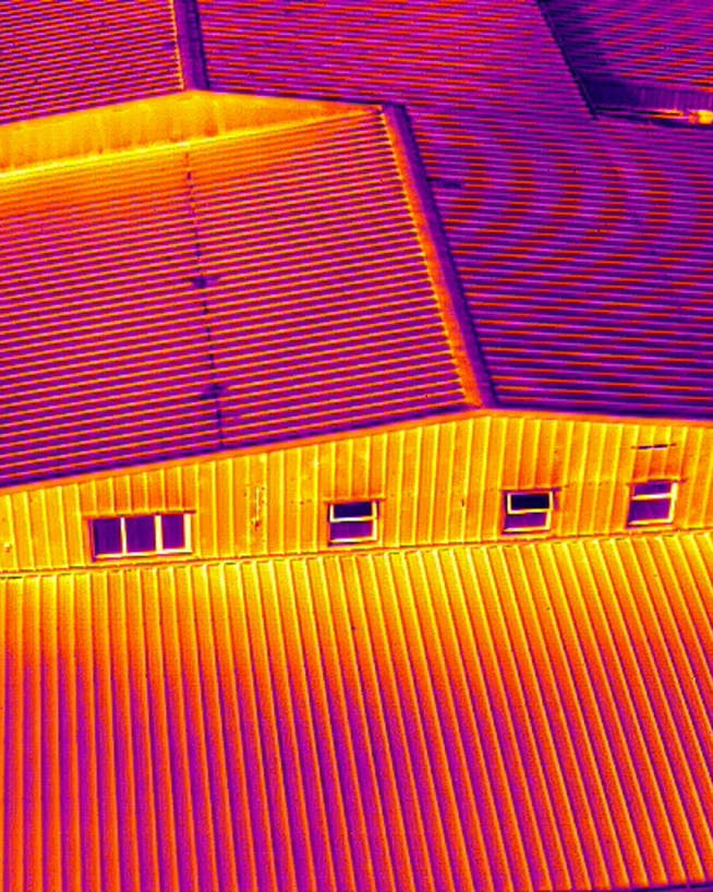
Thermal imaging technology can identify overheating components, electrical faults and other issues in telecom equipment. This allows our clients to detect early signs of failure and address them before they escalate.
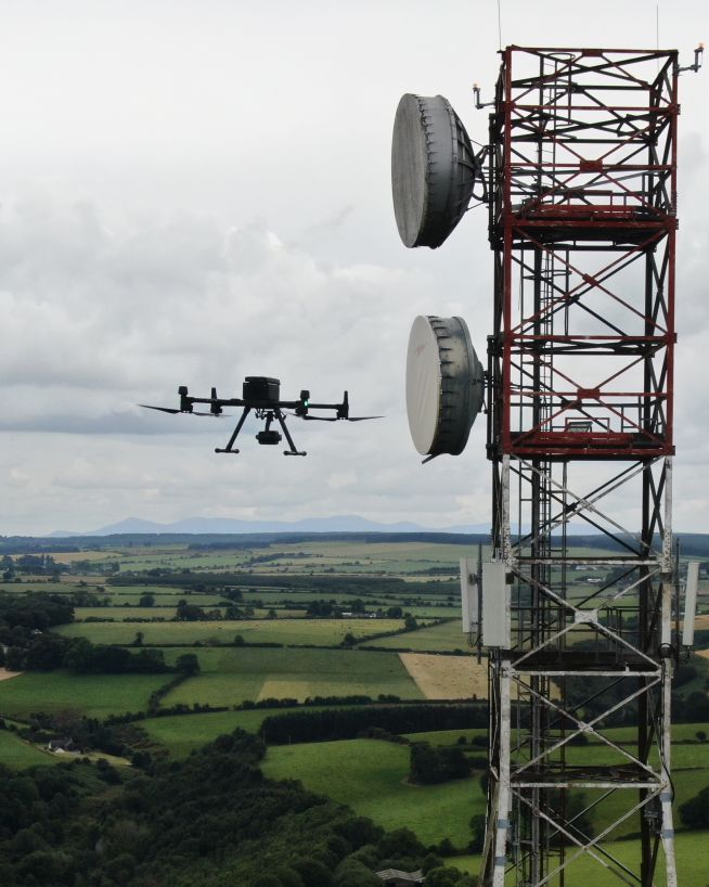
Ensure optimal placement and alignment of telecom equipment with line of sight surveys. Our engineers use drones equipped with high-resolution cameras and LIDAR to conduct precise line of sight surveys, ensuring clear communication paths between towers and other infrastructure.
Drones equipped with LIDAR and high-resolution cameras can capture detailed data on terrain and obstacles, providing accurate line of sight analysis for telecom installations. This helps in planning and optimizing the placement of antennae and other equipment.
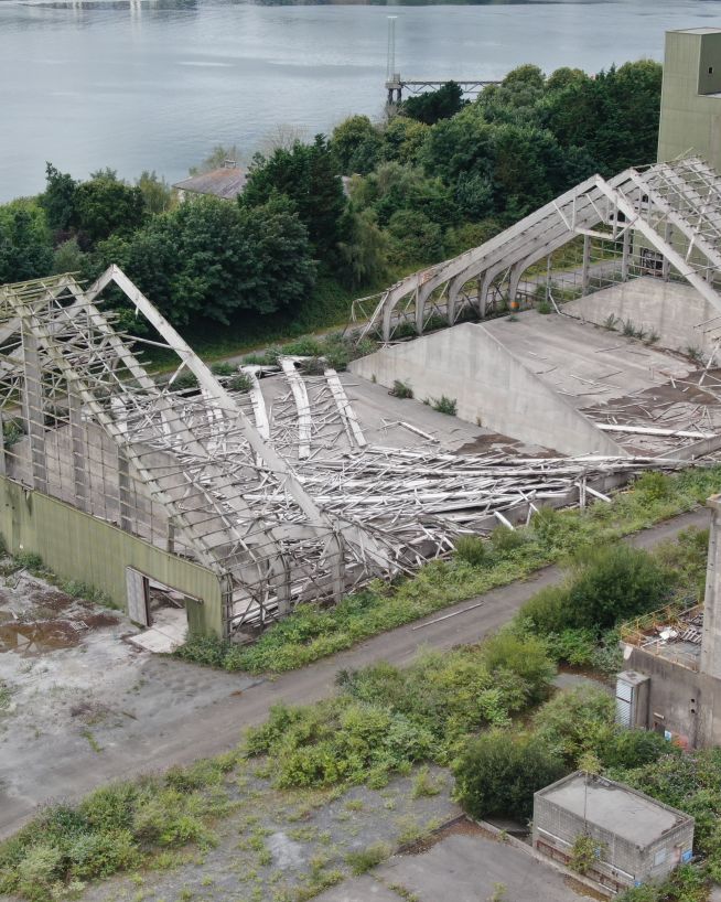
Inspect telecom infrastructure such as data centres, fiber optic networks and other critical facilities with advanced drone technology. Our engineers use UAVs equipped with high-resolution cameras, thermal imaging and LIDAR to detect structural issues, equipment faults and other potential problems.
Drones equipped with high-definition cameras can capture detailed imagery of data centres, identifying structural damage, equipment faults and other issues. This reduces the need for manual inspections, improving safety and efficiency.
Drones equipped with high-resolution cameras and LIDAR can inspect fiber optic networks for damage, ensuring optimal performance and minimizing downtime. This technology provides critical insights without the need for slow and costly manual inspections.
Thermal imaging technology can identify overheating components, electrical faults and other issues in telecom equipment. Working with our experienced engineers, our clients have been able to detect early signs of failure and address them before they escalate.
Instantly view complex structures, keeping risks to a minimum
Verify radio path clearance and link feasibility for telecoms infrastructure
Assess damage quickly and with pinpoint accuracy
Eliminate safety concerns, save costs and reduce downtime
Record and document reliable visuals without safety concerns
Instantly usable data via a safer and more cost-effective process
We have worked with a wide range of telecoms sector clients, including big names in tower inspections, line of sight surveys, and infrastructure assessments. Here are just a few of the services our engineers can provide using the latest drone technology.
Capture a high-resolution, photorealistic 3D model of your terrain, accurate to the finest details.
Find out moreMitigate the risk factors of traditional confined space inspections, without compromising on quality.
Find out moreReceive instant and actionable cut-and-fill data, without downtime or the risk of human error.
Find out moreMap the features and topography of your land/space efficiently using drone technology.
Find out moreRecord incredibly detailed elevation data to aid in ultra-precise measurements and calculations.
Find out moreTake accurate stockpile measurements faster and with little to no downtime, at a fraction of the cost.
Find out moreDetect abnormalities within your assets that are otherwise invisible to the naked eye.
Find out moreComplex surveys and inspections require more than just a pilot. Our engineers can help you scope your requirements and indentify the right approach.