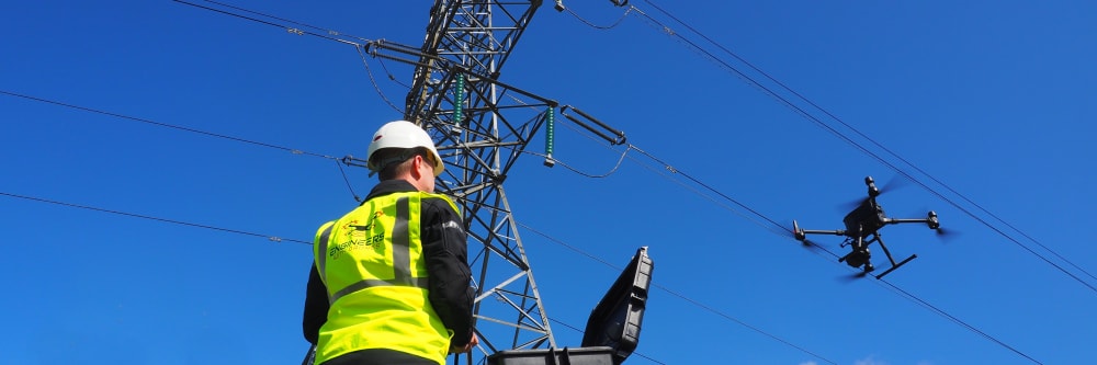
Engineers with Drones
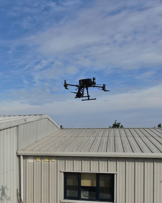
Drone inspections and surveys in Ireland. If you have a building, bridge, roof, tower or other assets, our experienced engineers can inspect it.
Let's talkDrone inspections and surveys in Ireland. If you have a building, bridge, roof, tower or other assets, our experienced engineers can inspect it.
Let's talkDiscover how our specialized UAV solutions can support your next project.
Precision UAV data acquisition by qualified engineers. Based in Ireland, we deploy advanced drone technology to safely access complex internal and external assets. We combine aviation expertise with engineering insight to deliver accurate, actionable inspection data.


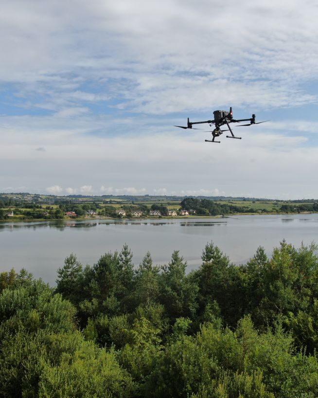
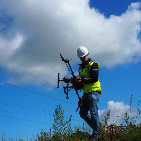
Engineers with Drones operates across the entire island of Ireland. Whether your asset is situated along the coast, within a bustling urban centre, or at a remote wind farm, our fully licensed engineering teams are available to deploy directly to your site.
Complete coverage spanning both the Republic of Ireland and Northern Ireland with zero regional gaps. Rapid response times across all regions.
Fully certified commercial operators under the Irish Aviation Authority and the UK Civil Aviation Authority. More about regulatory compliance...
Drone inspections and surveys throughout the island of Ireland
We are Ireland's first IAA Specific Category licensed drone company, fully insured and approved to operate in restricted GEO zones and red zones nationwide. Our SORA approval means we can safely deliver the most complex and high-risk drone operations in Ireland.
About our certificationsWe don't offer rigid, off-the-shelf packages. Every asset has unique demands. We collaborate with you on a flexible spectrum, tailored precisely to your internal workflow and data requirements.
The first option is that you tell us what you want, then we crack on and get the work done. You don't need to be involved in any way. We have agreed on what you are looking for, and we use our engineering experience and expertise to get that for you. This could be anything from a condition report of an asset to a full topographical survey of a tract of land. With this option, you never have to leave the office. We take care of it all.
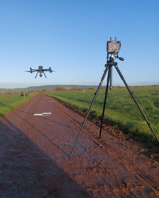
The second option is that we are directed entirely by you. We turn up, and you instruct us entirely on the ground. You ask us to move the camera slightly to the left, we can do that. Want a video of a specific component? We can do that too. We are here to facilitate you and your technical experts. We have field monitors set up just so clients can see on a large screen exactly what the drone operator sees. Essentially, we become an extension of your expert eye. For us, the most important thing is that you can trust the data and the method of data collection. If this means you want to be in the loop, then we're here to make that happen.
Options 1 and 2 are the two extremes — totally hands-off or fully hands-on. But we can also accommodate everything in between. You can decide your own level of involvement in the planning, real-time analysis and on-the-ground operations. We're here to facilitate and get you the data you need to make quick and informed decisions. No matter where you sit on this spectrum, we tailor our systems to integrate with yours.
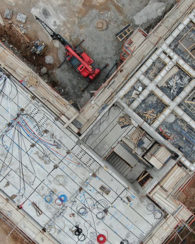
Select your sector below to explore our tailored engineering inspection, mapping, and structural auditing workflows.
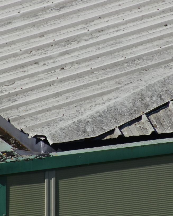
Instantly view complex structures, keeping risks to a minimum
Instantly usable data via a safer and more cost-effective process
Eliminate safety concerns, save costs and reduce downtime
Accurate, safe and instantly actionable data collection
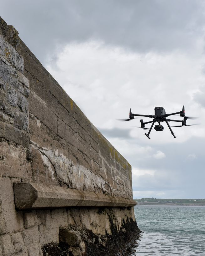
Monitor coastal assets safely and with more precision
Monitor status and progress without downtime

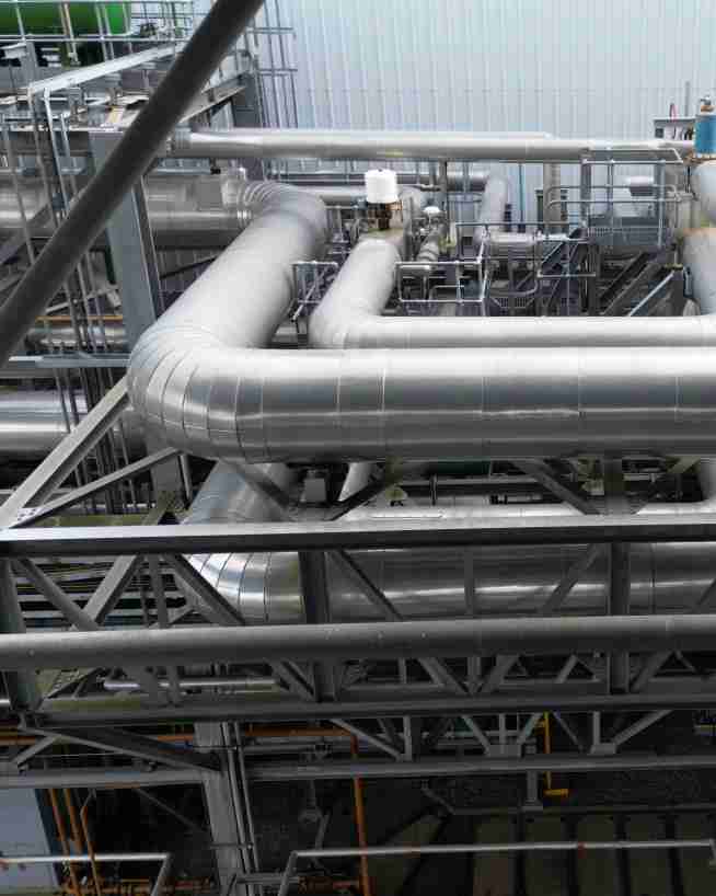
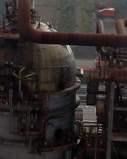
Get actionable data on quality and operational health

Actionable data from a safe distance, with less downtime
Safer and cheaper underwater ROV inspections
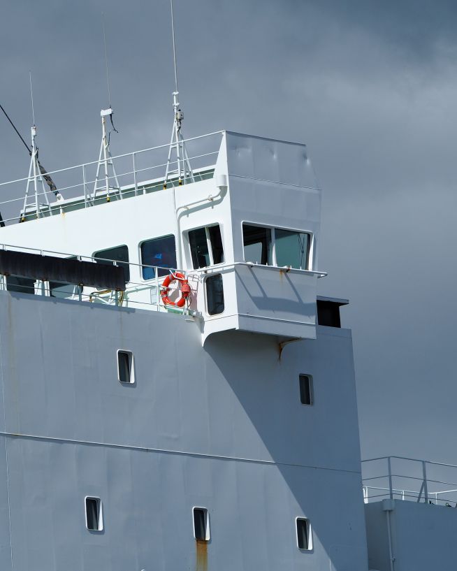
Safe, precise and instant reports on vessels and infrastructure
Eliminates downtime and safety concerns, at a fraction of the cost
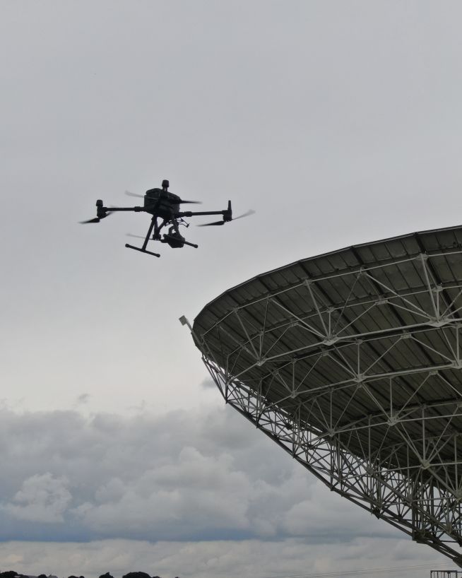
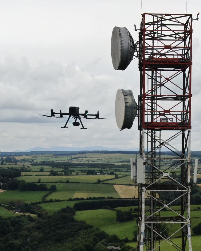
Get critical data on cell and telecommunication infrastructure
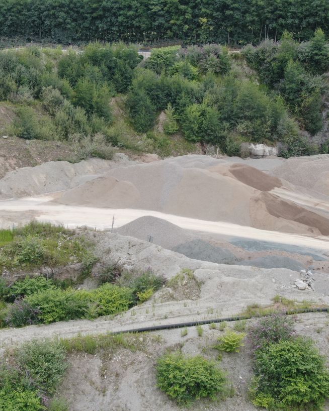
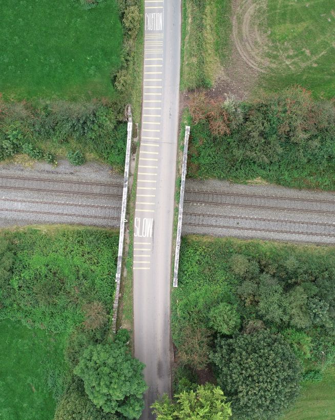
Faster, cheaper and more accurate analysis of land
Critical, pinpoint details with none of the risk
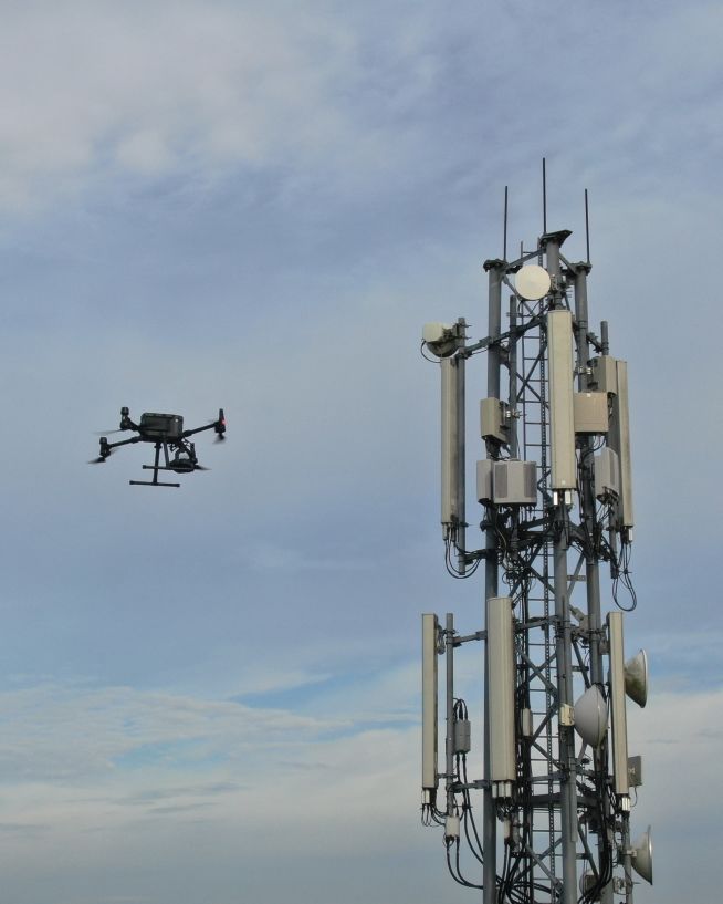
Verify radio path clearance and link feasibility for telecoms infrastructure
Safer, more cost-efficient, with less downtime
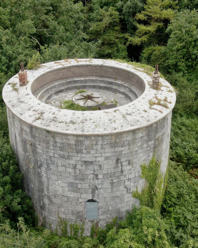
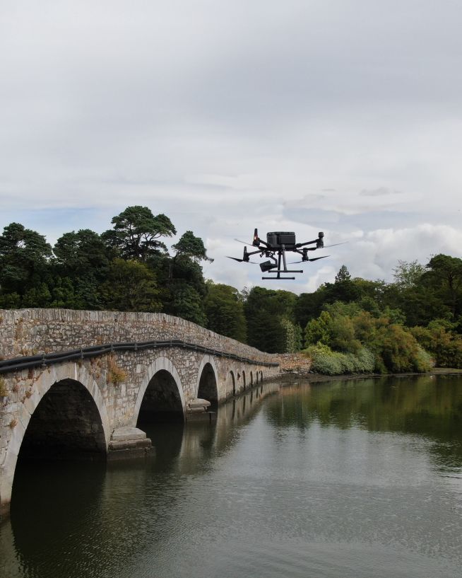
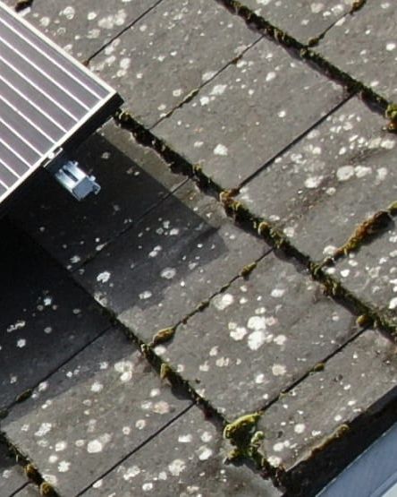
Analyse historical buildings without risk to people or property
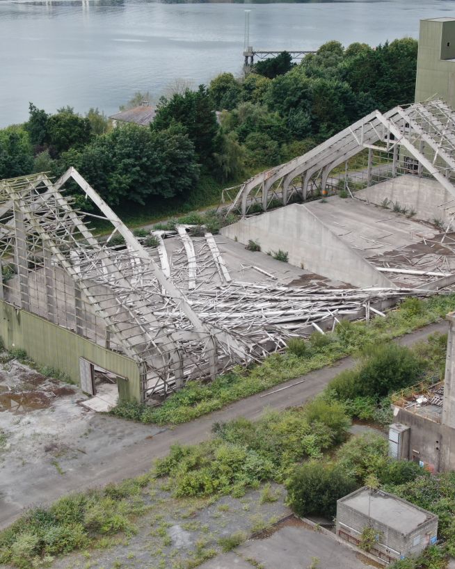
Assess damage quickly and with pinpoint accuracy
Clearer, faster results without the risks
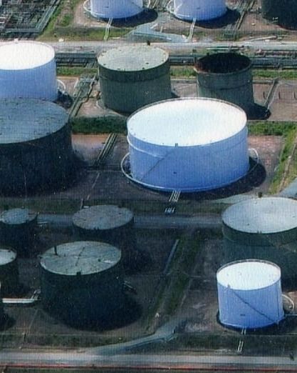
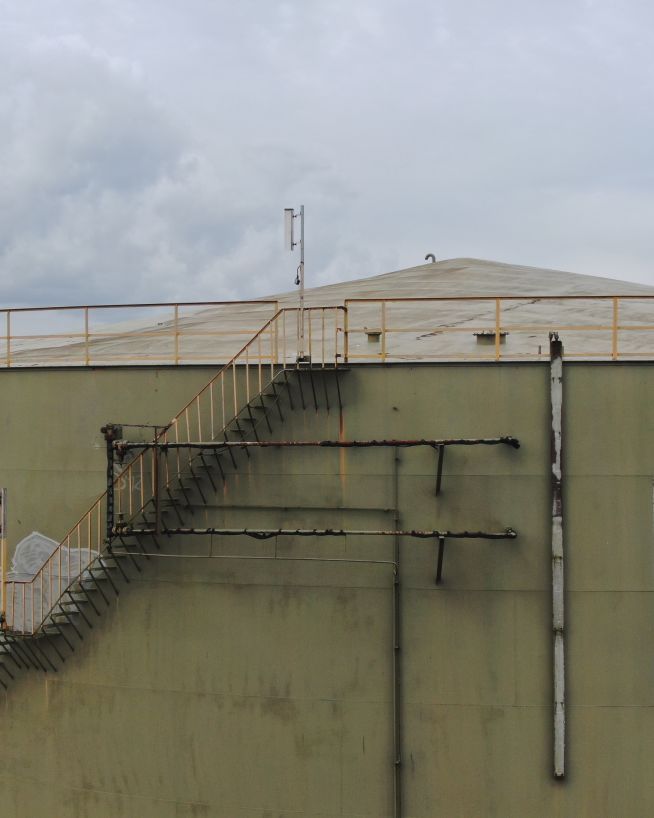
Safer and more cost-efficient flare (oil and gas) inspections

Add "Wow Factor" to residential and commercial property listings
Efficient, fast and safe.
Fast, actionable data without the risks of traditional inspections
Safer, more precise data collection at a fraction of the cost
Instant, actionable data with no downtime
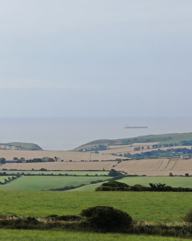
Accurate and efficient analysis of crops and land
A more cost- and time-effective way to receive critical data
Get fast, usable data from a safe distance
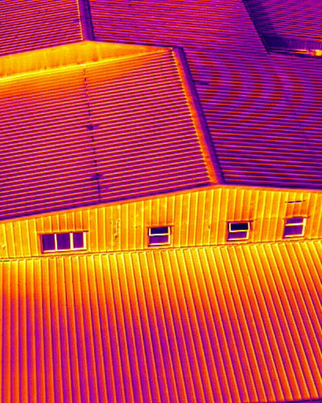
Ensure solar panel efficiency from precise data collection
Record and document reliable visuals without safety concerns
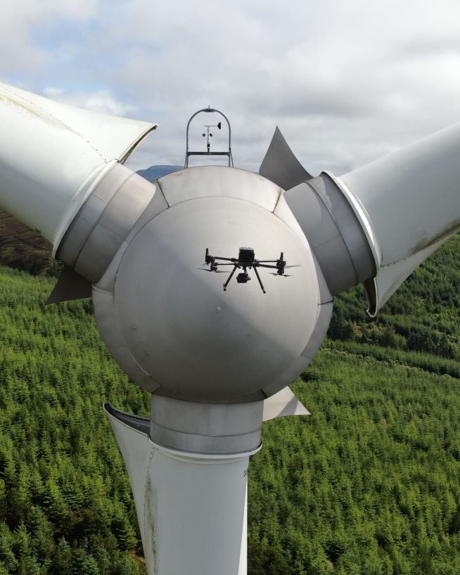
Inspect and maintain energy assets without risk or downtime
Read more...
Read more...
Read more...
Read more...
Read more...
Read more...
Read more...
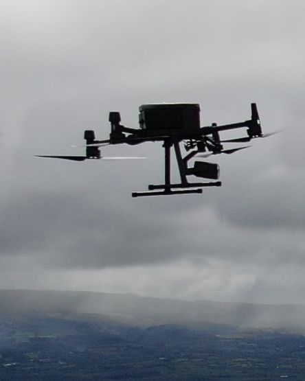
Here at Engineers with Drones, we believe drone pilots should know about what they are inspecting. That is why all our pilots are industry experienced. As a Specific Category drone company in Ireland, we provide inspection and technical data collection services to all sectors.
About us