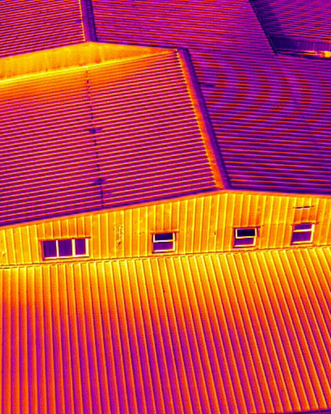
Thermal imaging (a.k.a thermography) is used across Ireland for building inspections, solar farm inspections, and infrastructure inspections. It reveals problems that look normal to the naked eye and to a standard camera. Moisture trapped under a roof membrane, a failing cell in a solar panel array, a section of wall losing heat through a gap in the insulation — all of these show up clearly in a thermal inspection, and none of them would be visible any other way.
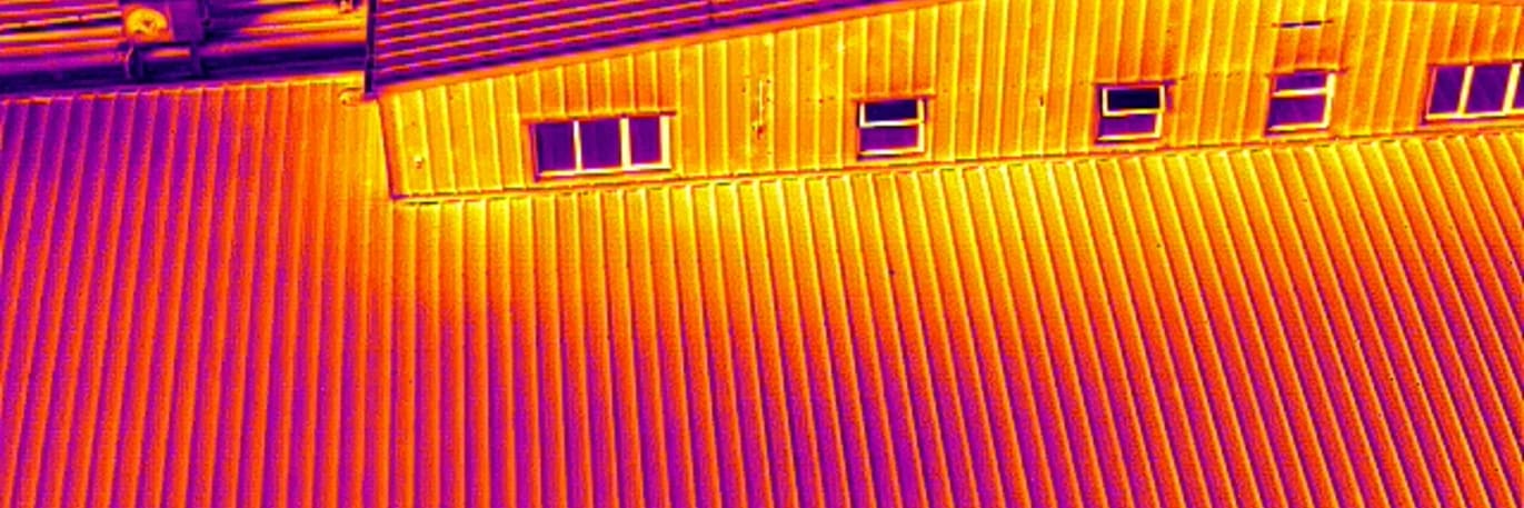
A thermal camera detects the rate at which different surfaces emit heat energy — not what is beneath them. Wet insulation under a roof membrane retains heat from the day's sun and gives it off more slowly than dry insulation. The thermal camera sees that temperature differential at the surface. What you receive is a georeferenced map showing exactly which areas of a roof, panel array, or structure are behaving differently from their neighbours — and a report explaining what that difference means.
What is a thermal imaging inspection?
A thermal imaging inspection uses a drone-mounted infrared camera to detect temperature differentials across the surface of a building, roof, solar array, or structure — revealing problems that look completely normal to the naked eye.
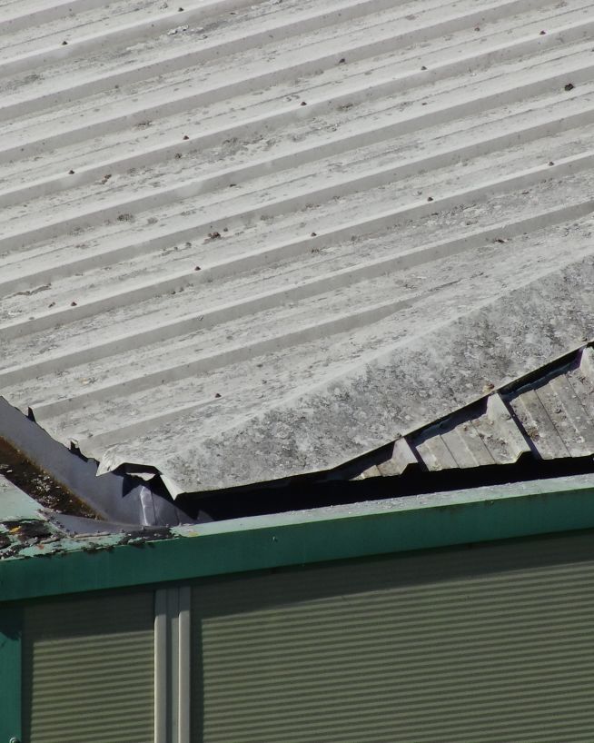
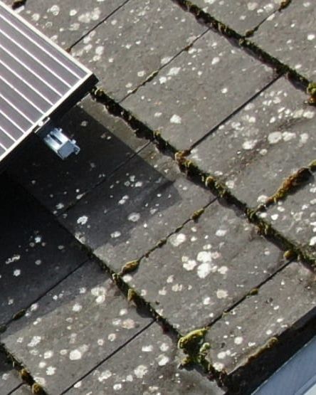
Moisture trapped under a flat roof membrane, a failing solar cell, missing insulation behind a facade, an overheating electrical connection: none of these show up in a standard photograph, but all of them produce a measurable heat signature that a thermal camera records. Ireland's commercial building stock — large-footprint warehouse units, damp concrete industrial buildings, and ageing apartment complexes — presents these faults routinely, and thermal inspection is one of the fastest ways to locate them across a whole site.
Thermal imaging or thermography: is there a difference?
In everyday use the terms are interchangeable, but there is a technical distinction. Thermal imaging refers to the camera technology — the infrared sensor that detects heat energy at a surface. Thermography is the professional discipline of capturing, processing, and interpreting that data to reach engineering conclusions. A trained thermographer understands optimal capture conditions, the physics of heat retention and emission, and how to distinguish a genuine defect from a legitimate heat source such as a roof vent or downpipe.
All Engineers With Drones operators carrying out thermal work are trained thermographers. Attaching a thermal camera to a drone does not produce actionable results without the expertise to plan the flight for the correct thermal window, select the right payload for the asset type, and interpret what each anomaly actually means for your building or infrastructure.
Find out about our teamHow does it work in practice?
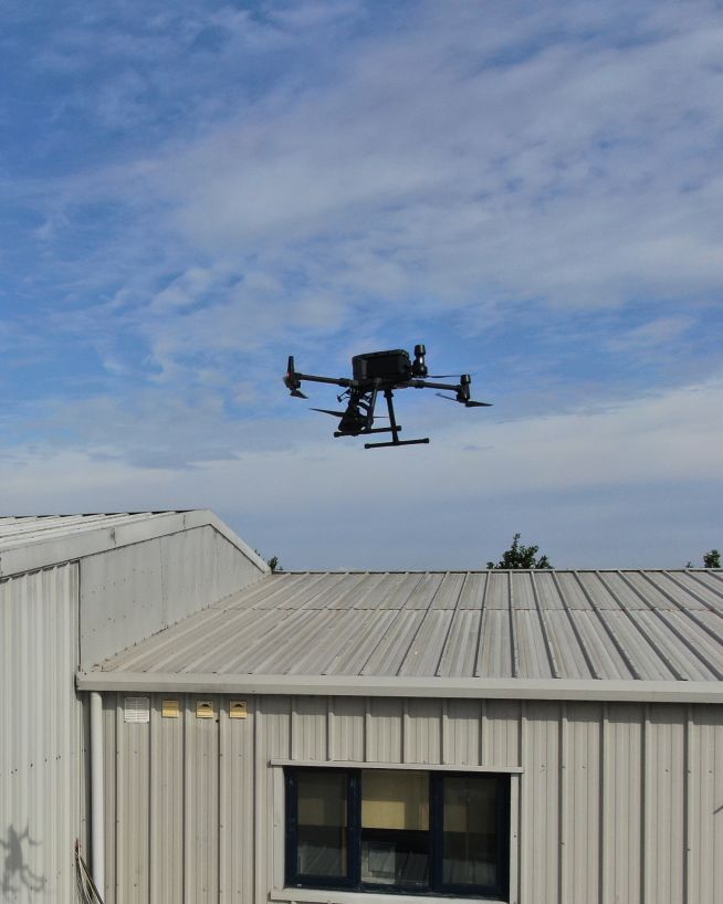
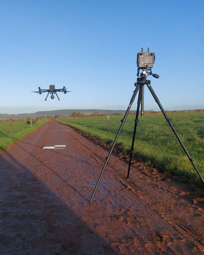
For most jobs, the site visit involves a small team — typically 1-2 engineers — and takes a few hours. We cover all 32 counties and are authorised by the Irish Aviation Authority for commercial UAV operations. For a thermal building or roof inspection in Ireland, the work is usually done at night, roughly two to three hours after sunset when the heat differentials are most pronounced. There is no scaffolding, no access equipment, and no requirement to close off areas or take the building out of service. The drone works from outside. Your staff don't always need to be on site.
Before the visit we'll ask a few straightforward questions — the size and type of structure, access to the site boundary, and any known hazards. On the day, we just need a point of contact and access to fly from the perimeter. Deliverables — a georeferenced thermal map with every anomaly GPS-tagged and a plain-English report — are typically turned around within a few working days. On mobilisation speed, we can usually get to you quickly; if you have a specific urgency or weather window in mind, call us and we'll confirm availability directly.
What do I actually receive?
Short answer: whatever you need. We don't do off-the-shelf solutions. Every job is customised to the needs of the client. But people rarely ask us for a folder of raw images. Clients typically receive a georeferenced thermal orthomosaic — a precisely stitched, GPS-registered map of the entire surface — with every anomaly located by coordinates and explained in a plain-English report. Your facilities team, engineer, or insurer can navigate directly to every flagged area on site.
Driven rain, high humidity, and seasonal temperature swings make Irish buildings particularly susceptible to these faults — all of which a thermal camera can identify from the air in a single mobilisation.
Find and fix air leaks to preserve your building's performance, energy efficiency and air quality.
Find and eliminate moisture intrusion to prevent rot and health problems associated with mould and mildew.
Reduce your energy costs and do your bit for the environment by finding and eliminating gaps in insulation.
Find delamination in concrete structures with little to no downtime. Quick, reliable and cost-effective.
Identify and resolve potential problems with electrical distribution equipment before they lead to failure.
Cold bridges can be responsible for up to 30% of a building's heat loss. With drone technology, they're easy to find.
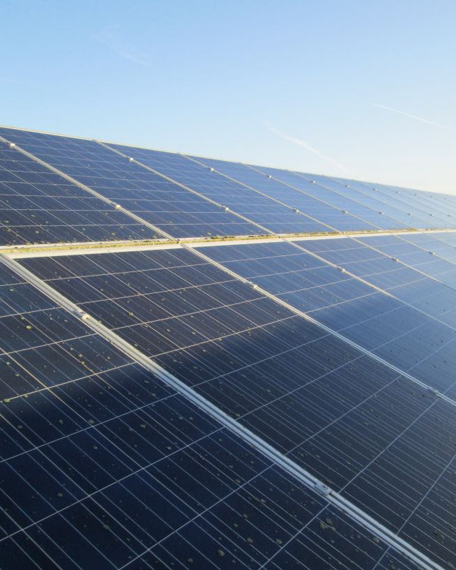
Keep your photovoltaic array running safely and efficiently by finding and fixing issues in your solar cells.
Using thermography, it's easy to detect gas leaks which are harmful to human health and the environment.
The applications of thermal imaging in domestic and industrial environments are almost limitless. Ask us what it can do for you.
In Ireland, the 2–3 hour post-sunset window on a cold, dry night is when retained heat differentials are most pronounced. We plan every inspection around ambient temperature, cloud cover, and the thermal mass of the specific roof material — not a fixed schedule.
Standard GCPs are not visible in thermal imagery. We use in-house thermal-compatible GCPs detectable in both RGB and thermal simultaneously — giving you a georeferenced orthomosaic usable in CAD and GIS alongside other survey data.
PID, bypass diode failure, soiling hotspots, and delamination all appear as temperature anomalies. A single sortie covers a full array with every panel documented — at a fraction of the time and cost of ground-level inspection.
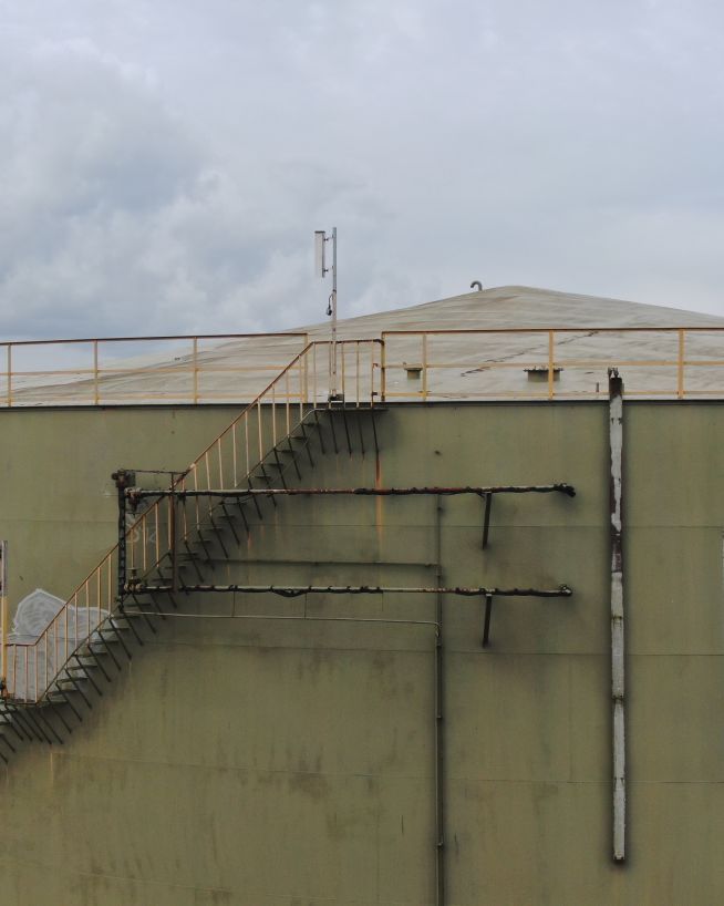
No scaffolding, cherry picker, road closure applications, or traffic management required. In Ireland, this also means no planning permission for temporary access structures and no local authority notifications — the drone operates from the site perimeter and the job is done in hours. Large commercial roofs, multi-building estates, and high-rise envelopes are fully imaged from the air — no part of the roof needs to be physically accessible.
Moisture under a membrane, missing insulation, thermal bridging, and air leakage are invisible to standard photography. They only appear thermally — and only when the inspection is flown at the right time and in the right conditions.
The deliverable is a report with every anomaly located by GPS coordinates and marked on the georeferenced orthomosaic — not a folder of raw images. Facilities managers, engineers, and insurers can act directly from the output.
“Thermography doesn’t see through anything. It sees the heat coming off of things. But that alone can tell you a lot — it can tell you where to find ingress and egress points, cold bridges, hidden moisture, electrical faults, gas leaks, structural defects, pest infestations and more.”

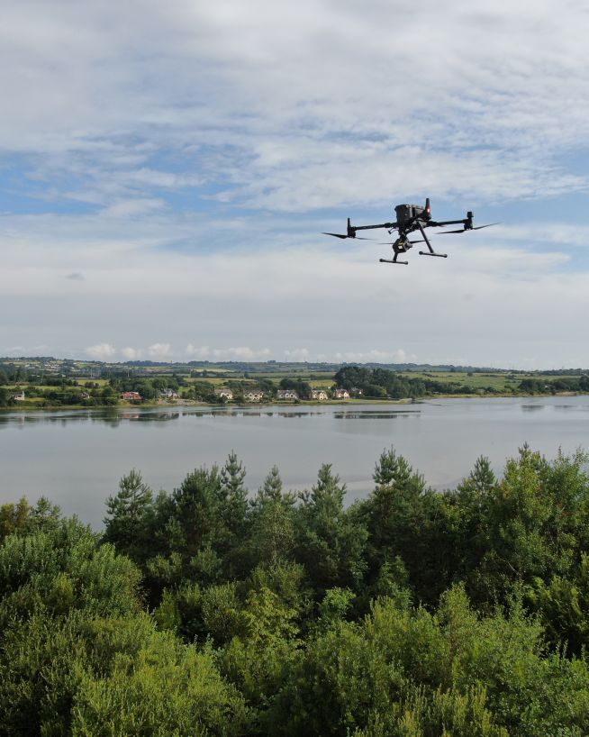
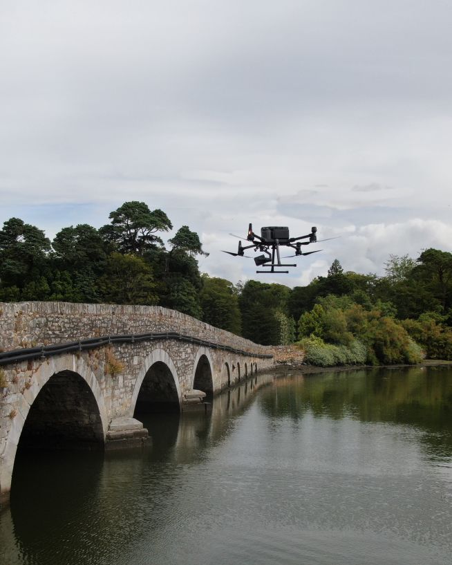
Thermal drone services delivered across Irish buildings, infrastructure, and energy assets — each project flown, processed, and reported in-house by IAA-authorised operators.
Fast, actionable data without the risks of traditional inspections
Clearer, faster results without the risks
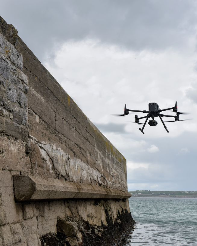
Monitor coastal assets safely and with more precision
Ensure solar panel efficiency from precise data collection
Get fast, usable data from a safe distance
Record and document reliable visuals without safety concerns
Actionable data from a safe distance, with less downtime
Accurate, safe and instantly actionable data collection
Efficient, fast and safe.
Monitor status and progress without downtime
Eliminate safety concerns, save costs and reduce downtime
Get actionable data on quality and operational health
Instantly usable data via a safer and more cost-effective process
Safer, more precise data collection at a fraction of the cost
Safer, more cost-efficient, with less downtime
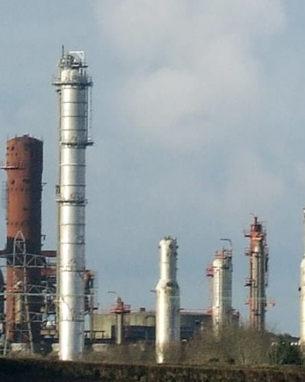
Safer and more cost-efficient flare (oil and gas) inspections
A more cost- and time-effective way to receive critical data
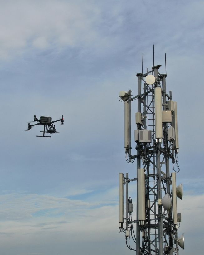
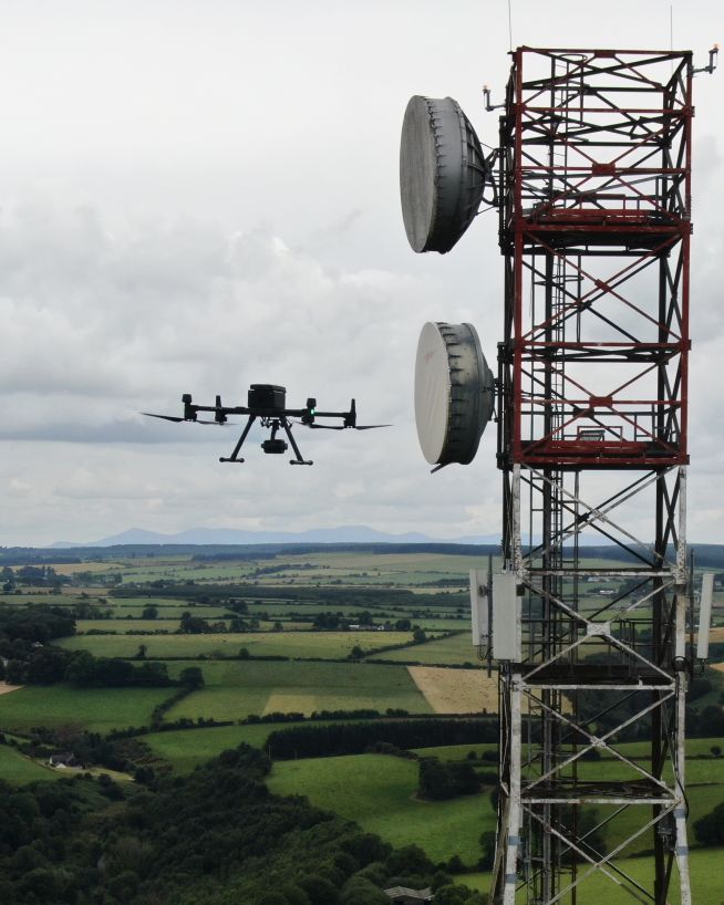
Verify radio path clearance and link feasibility for telecoms infrastructure
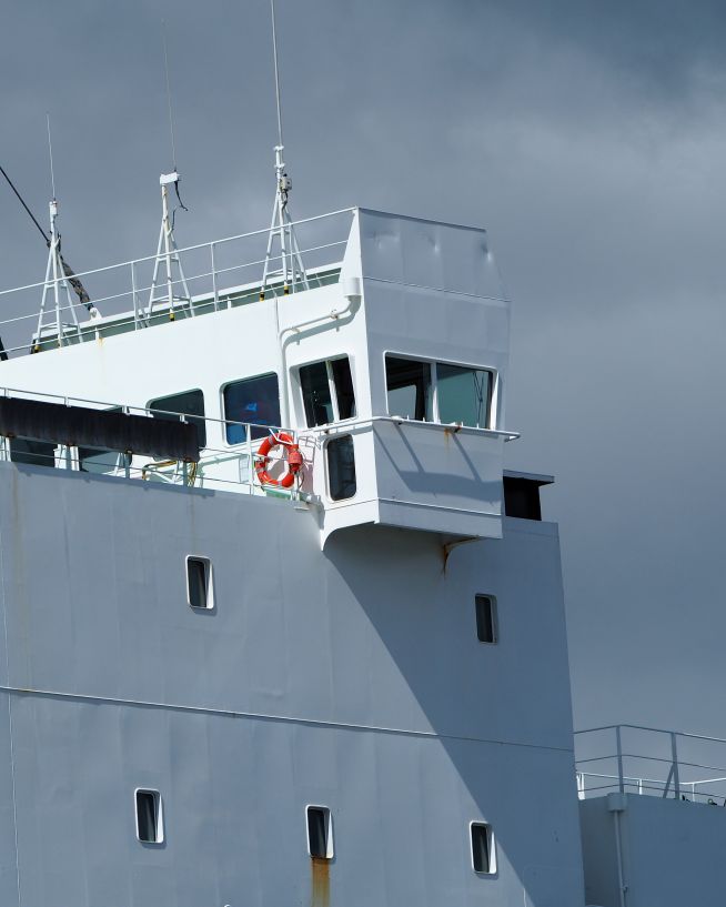
Safe, precise and instant reports on vessels and infrastructure
Safer and cheaper underwater ROV inspections
Instant, actionable data with no downtime
Eliminates downtime and safety concerns, at a fraction of the cost
Assess damage quickly and with pinpoint accuracy
Add "Wow Factor" to residential and commercial property listings
Instantly view complex structures, keeping risks to a minimum
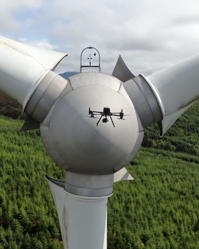
Inspect and maintain energy assets without risk or downtime
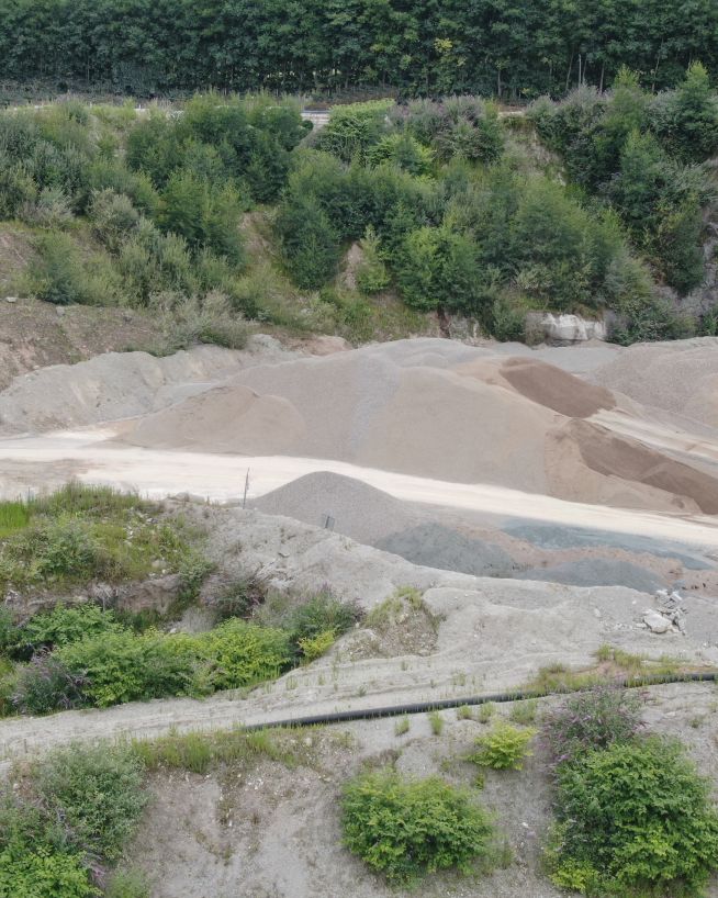
Faster, cheaper and more accurate analysis of land
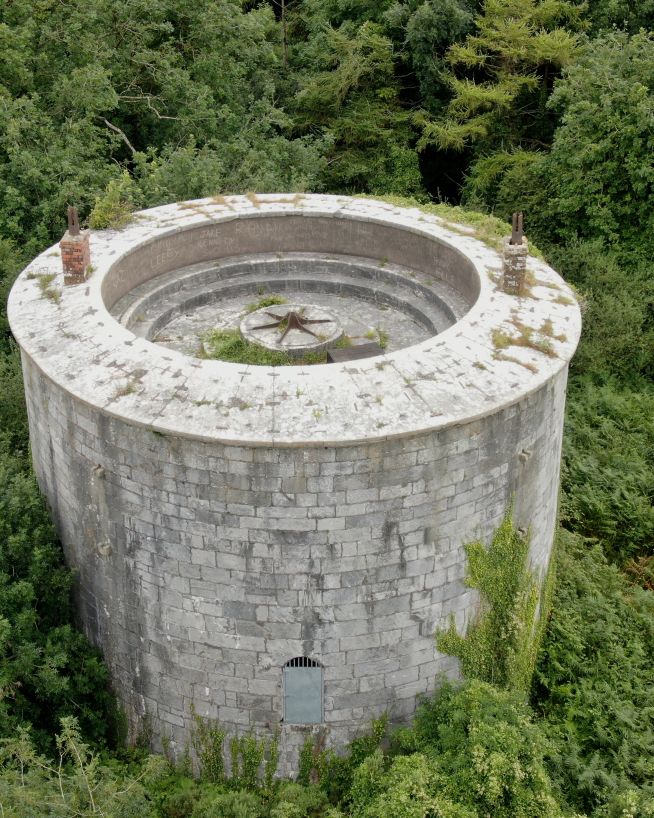
Analyse historical buildings without risk to people or property
Accurate and efficient analysis of crops and land
Get critical data on cell and telecommunication infrastructure
Critical, pinpoint details with none of the risk
Thermal building inspections are only reliable if flown in the correct window. In Ireland, the optimal time is approximately 2–3 hours after sunset on a cold, dry day — our winter months, November through March, typically deliver the best conditions for thermal work. At that point the day's solar radiation has fully dissipated and areas of retained heat — wet insulation, damp patches, thermal bridges — are giving off their stored energy more slowly than dry surroundings. That differential is what the thermal camera records. Daytime inspections, even on overcast days, are typically unreliable because solar reflection at the surface masks the underlying differentials. Pre-dawn inspections miss the window because cold-soaking has equalised temperatures again.
The specific timing depends on ambient temperature, cloud cover, and the thermal mass of the roof material — a heavy slate roof holds heat differently from a lightweight metal deck. We plan inspection timing around the site conditions rather than a fixed clock rule.
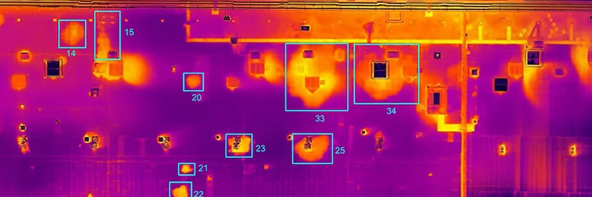
Thermal imaging does not see through materials. It detects the rate at which different surfaces emit heat energy. Wet insulation beneath a roof membrane retains heat from the day's sun and gives it off more slowly than dry insulation — the camera sees that temperature differential at the surface, not what is physically beneath it. Managing this expectation clearly is part of how we work: the output tells you where the surface is behaving differently, and an experienced engineer interprets what that means.
For thermal orthomosaic work on large flat roofs, standard ground control points are not always detectable in the thermal dataset. We use in-house thermal-compatible GCPs that are visible in both RGB and thermal captures simultaneously, enabling the thermal orthomosaic to be precisely registered to survey-grade coordinates. This makes the output directly usable in CAD and GIS environments alongside other survey data.


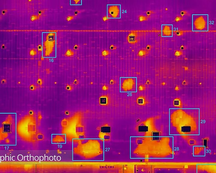
Engineers With Drones combined drone technology, thermography and orthophotos to locate water ingress across 5.2 hectares of flat bitumen roof on a large commercial building.
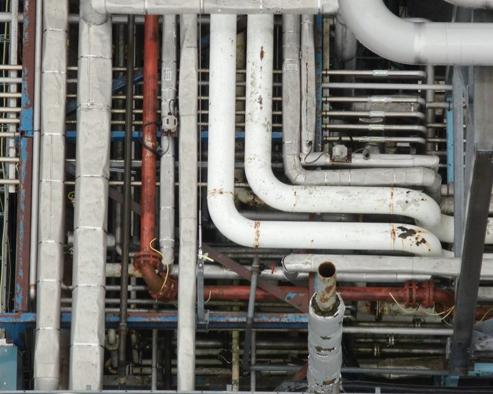
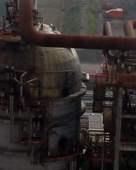
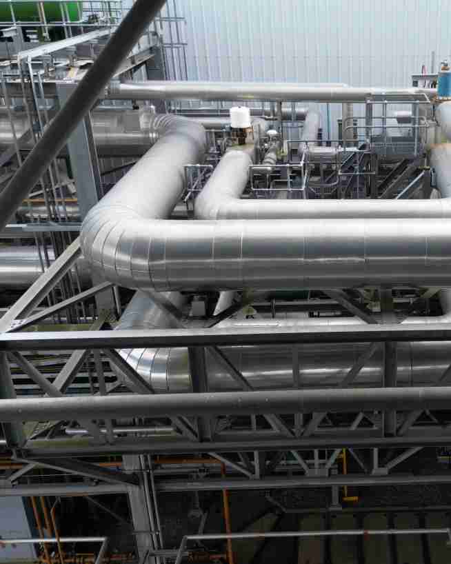
Engineers With Drones used a drone to carry out a detailed inspection of pharmaceutical plant pipe racks, providing complete coverage of upper surfaces without the need for climbers or mobile elevating work platforms.
Complex surveys and inspections require more than just a pilot. Our engineers can help you scope your requirements and indentify the right approach.