Sectors and Industries
Drone services for all major industries and sectors in Ireland.
Drone services for all major industries and sectors in Ireland.
Find out what our drones can do for you.
Select your sector below to explore our tailored engineering inspection, mapping, and structural auditing workflows.
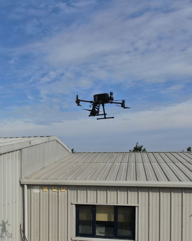
Accurate, safe and instantly actionable data collection
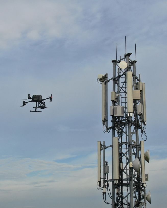
Verify radio path clearance and link feasibility for telecoms infrastructure
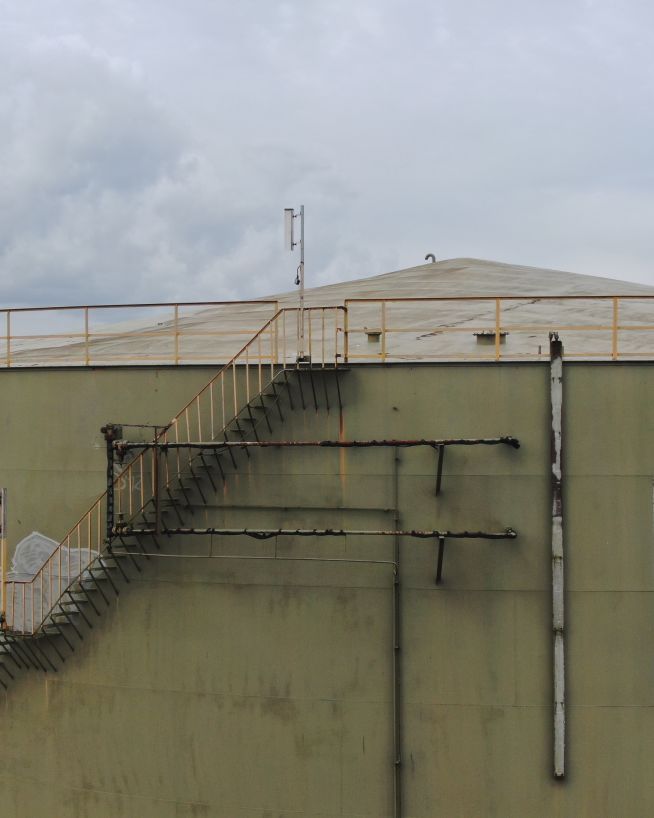
Get fast, usable data from a safe distance
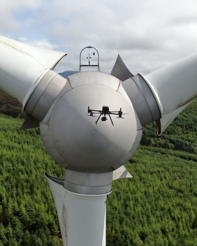
Inspect and maintain energy assets without risk or downtime
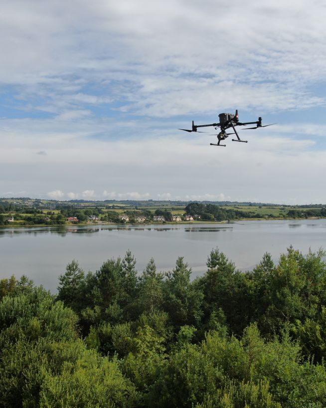
Safer, more precise data collection at a fraction of the cost
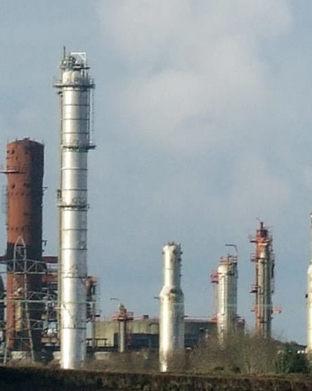
Actionable data from a safe distance, with less downtime
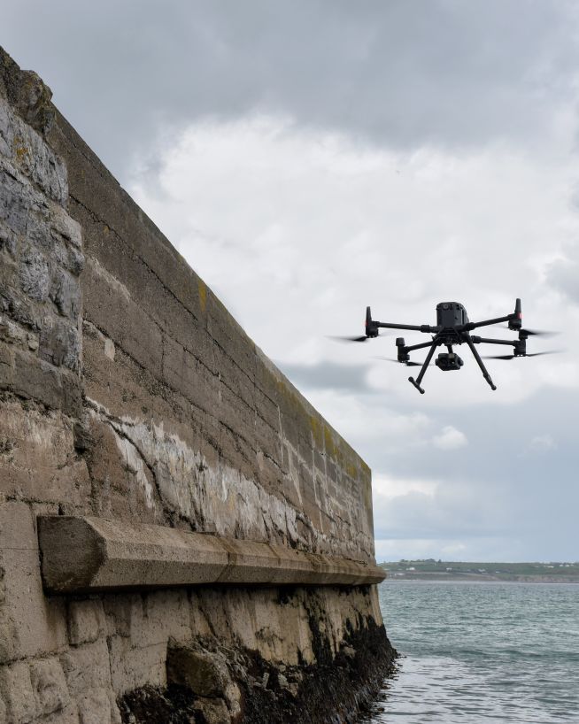
Monitor coastal assets safely and with more precision
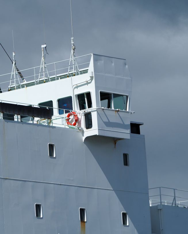
Safe, precise and instant reports on vessels and infrastructure
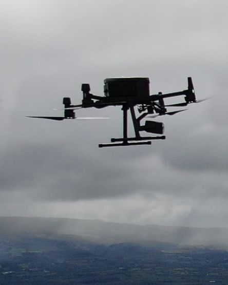
A more cost- and time-effective way to receive critical data
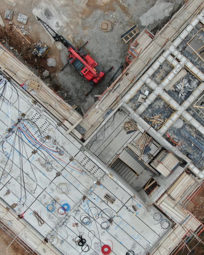
Instant, actionable data with no downtime
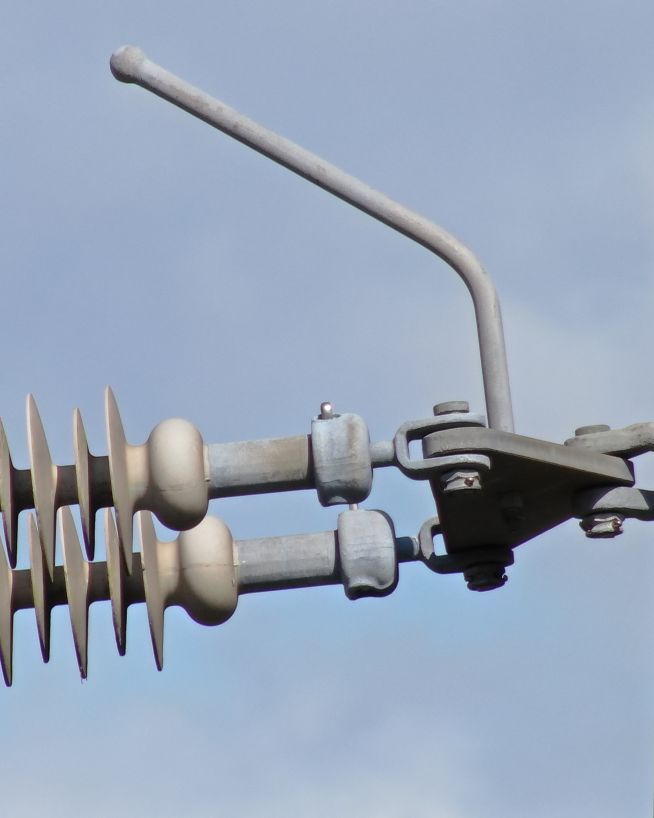
Instantly usable data via a safer and more cost-effective process
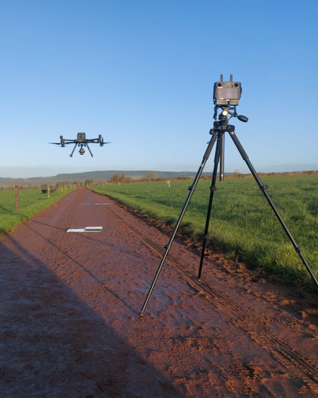
Accurate and efficient analysis of crops and land
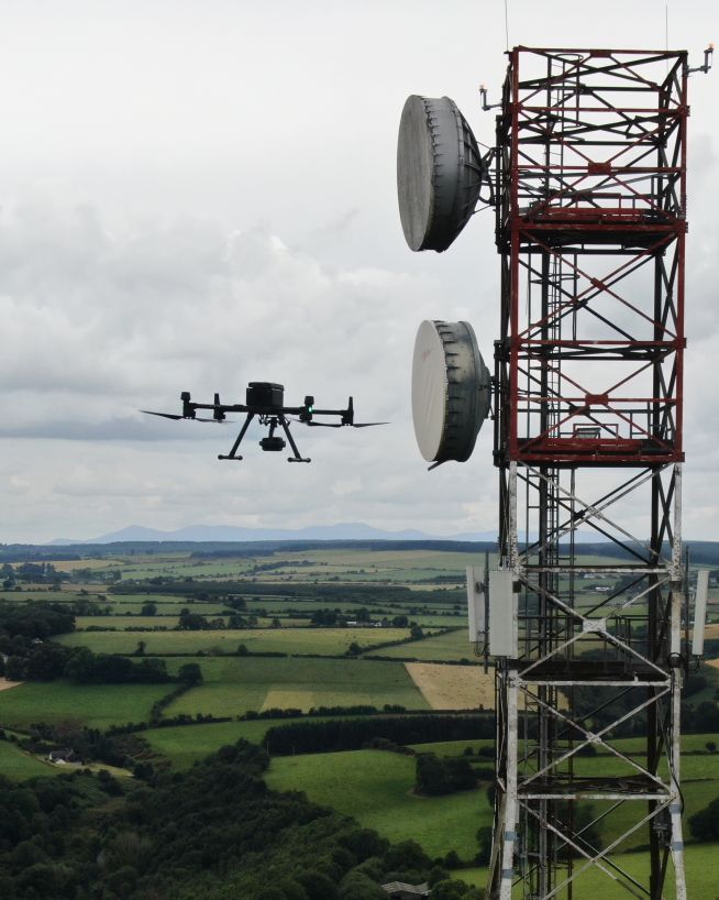
Instantly view complex structures, keeping risks to a minimum
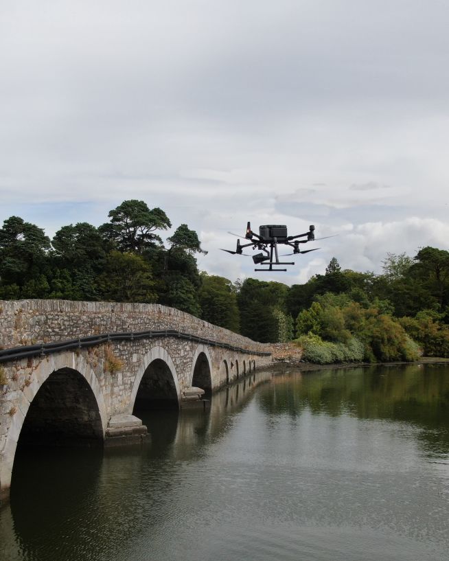
Safer, more cost-efficient, with less downtime
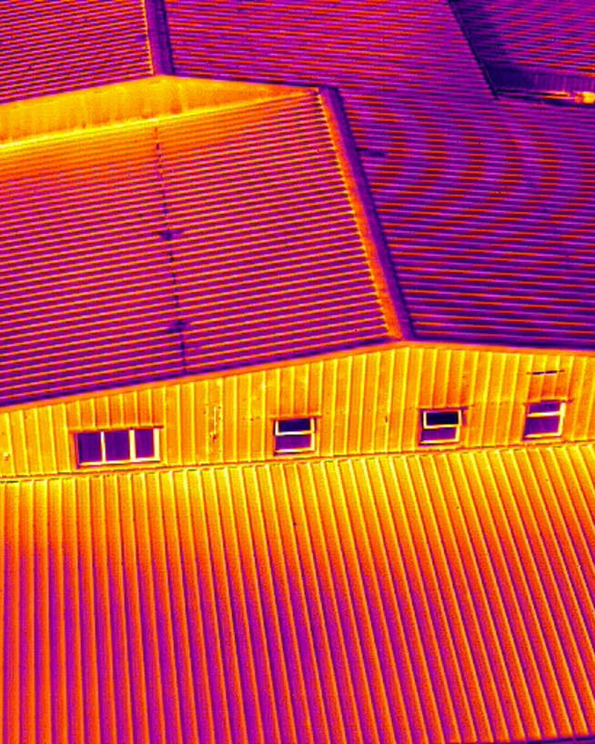
Record and document reliable visuals without safety concerns
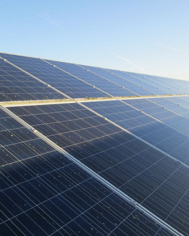
Get actionable data on quality and operational health
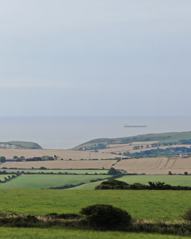
Safer and cheaper underwater ROV inspections
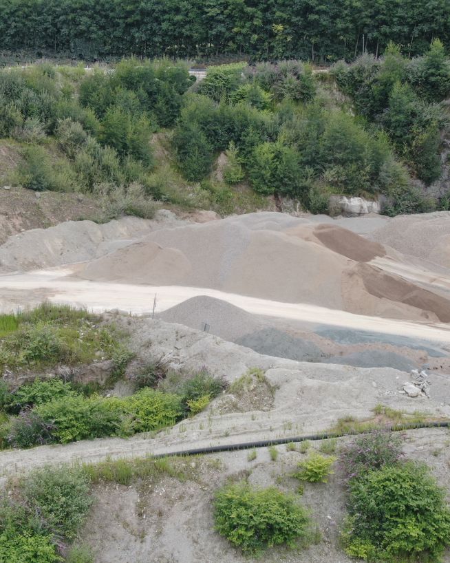
Monitor status and progress without downtime
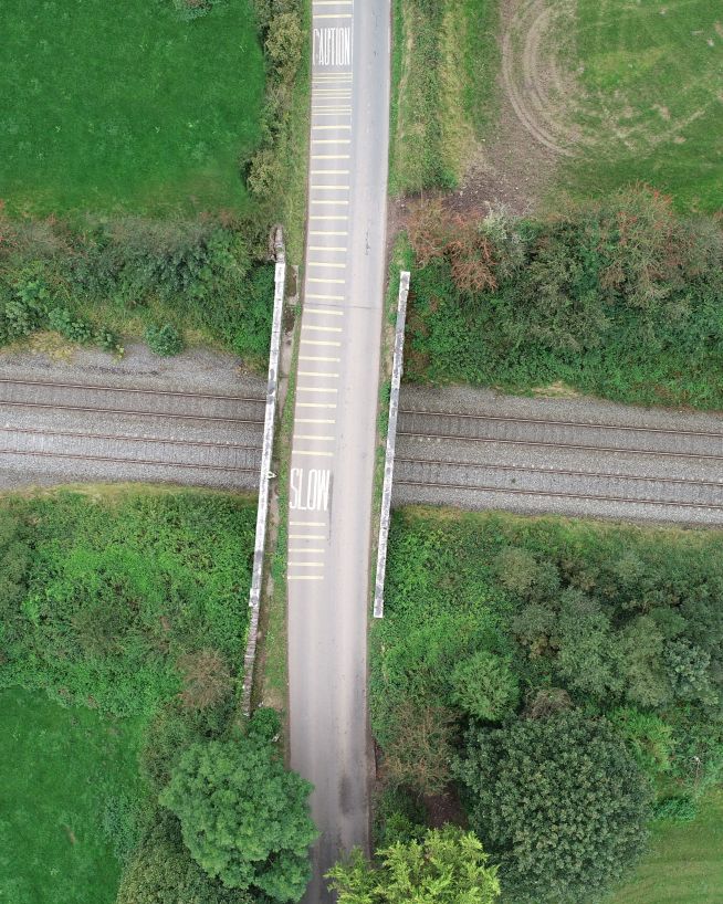
Eliminates downtime and safety concerns, at a fraction of the cost
Faster, cheaper and more accurate analysis of land
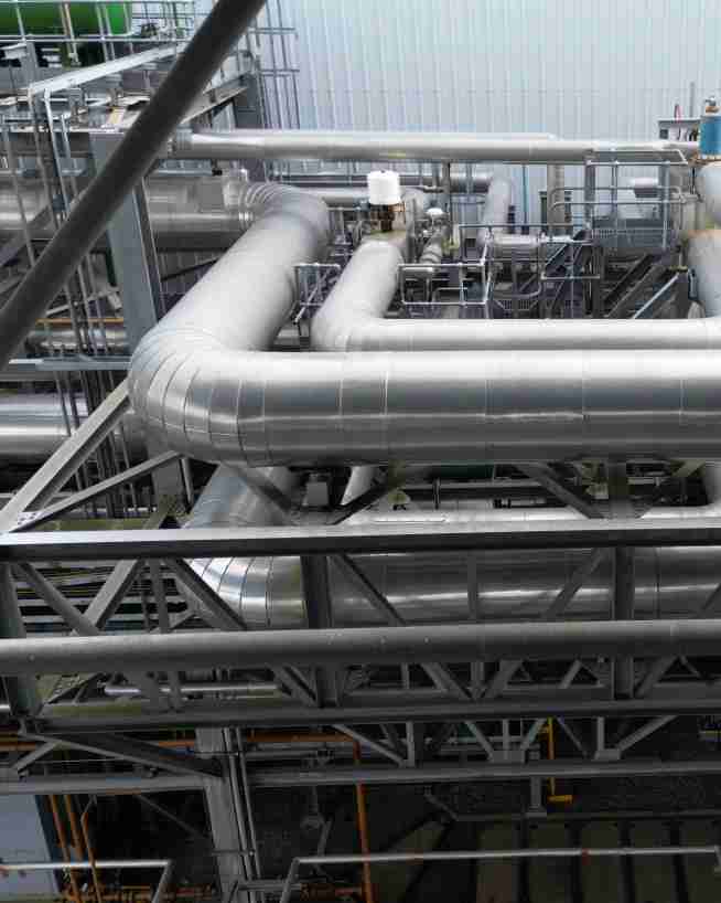
Efficient, fast and safe.
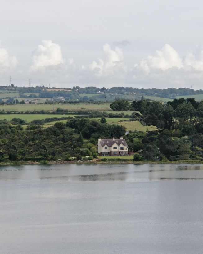
Add "Wow Factor" to residential and commercial property listings
Fast, actionable data without the risks of traditional inspections
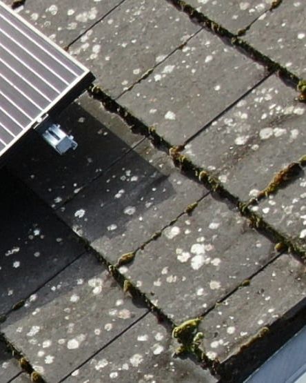
Ensure solar panel efficiency from precise data collection
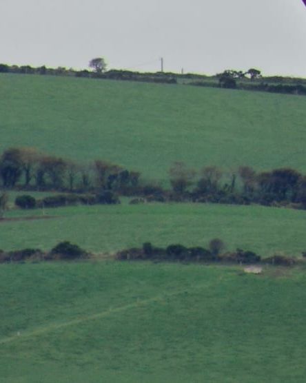
Critical, pinpoint details with none of the risk
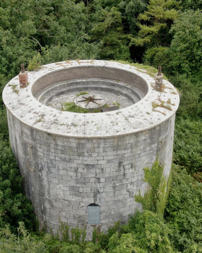
Analyse historical buildings without risk to people or property
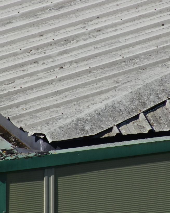
Clearer, faster results without the risks
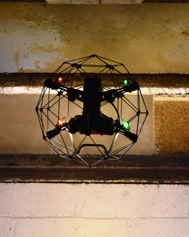
Eliminate safety concerns, save costs and reduce downtime
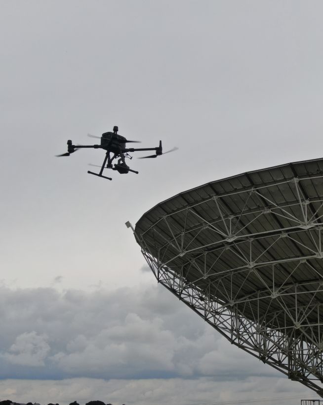
Get critical data on cell and telecommunication infrastructure
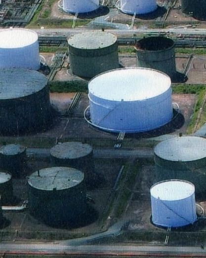
Safer and more cost-efficient flare (oil and gas) inspections
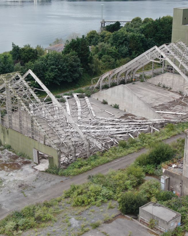
Assess damage quickly and with pinpoint accuracy
Whatever your sector, whatever problem you're trying to solve, our drone pilots all come from specialist engineering backgrounds, and they use all the very latest drone technologies and capabilities to deliver expert analysis on all types of commercial, civil and industrial assets. You will be dealing with an experienced engineer who has first-hand experience of your industry and the challenges you face.
Record incredibly detailed elevation data to aid in ultra-precise measurements and calculations.
Find out moreDetect abnormalities within your assets that are otherwise invisible to the naked eye.
Find out moreMap the features and topography of your land/space efficiently using drone technology.
Find out moreSee the condition and health of crops and vegetation with multispectral imagery.
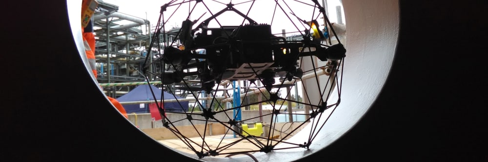
Find out moreMitigate the risk factors of traditional confined space inspections, without compromising on quality.
Find out moreCapture a high-resolution, photorealistic 3D model of your terrain, accurate to the finest details.
Find out moreTake accurate stockpile measurements faster and with little to no downtime, at a fraction of the cost.
Find out moreReceive instant and actionable cut-and-fill data, without downtime or the risk of human error.
Find out moreWe take emails, phone calls, messages, everything! If you are unsure of what's possible we are happy to advise, the most important thing is to get in touch. We'll be happy to answer any questions you may have.
With drones, it's best to begin where you want to end up. What sort of deliverable would you like when it's all finished? If you are not sure then we can advise. We can look at what you would like and work backwards from there.
Once we have agreed on what is to be done, the scope of work is set and a price is agreed upon. We feel it is vital that everyone knows what they are getting and what they are paying for it. There should be no confusion.
Once we have confirmation you are happy to proceed, we start the ball rolling. We organise things like RAMS, site permits, Air Traffic Control clearance and much more. Basically, we generate everything needed to turn up on-site with all our ducks in a row.
Next, we do the work on site. We have the gear, we have the know-how, so now it's time to get the job done. This can sometimes be affected by the weather, but for the most part, we get the job done on the date specified.
This is where we take what we generated in the field and turn it into a final deliverable for you. This can be anything from the raw data itself, to fully processed Orthophotos, condition reports, CAD line work or thermal imagery.
The final step is the handover of the deliverables. We tend to use a cloud-based service, so you can access your data anywhere. We can also tie into your existing systems if that is more convenient.