

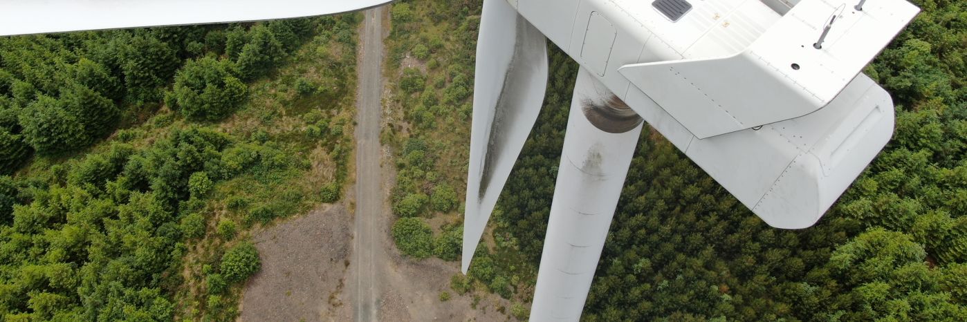
From offshore platforms to wind farms and power lines, energy infrastructure needs regular inspections. Drones offer a safer and more efficient way to carry out these inspections — especially in hard-to-reach or hazardous areas. With high-resolution imagery and data capture, drones help identify potential issues early, reduce downtime, and cut the need for manual checks.
Whether it's routine maintenance or a specific survey, drone inspections are a smart, practical tool for today's energy sector.
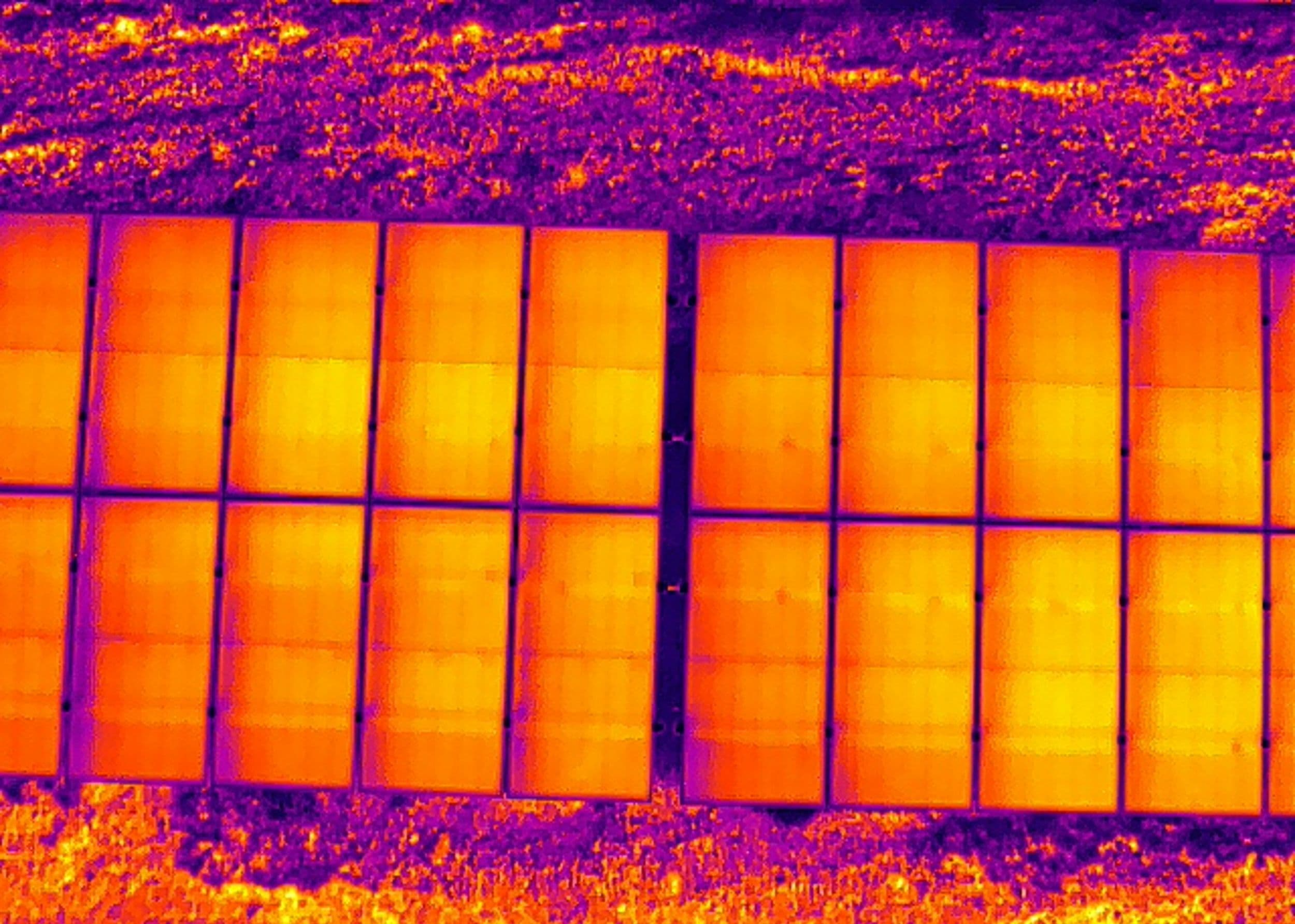
Drones equipped with thermal imaging cameras allow you to accurately assess the condition of a energy asset. Infrared photographs can be used to detect extreme temperature differences that can locate otherwise unseen issues, such as concealed moisture damage and heat leakage.
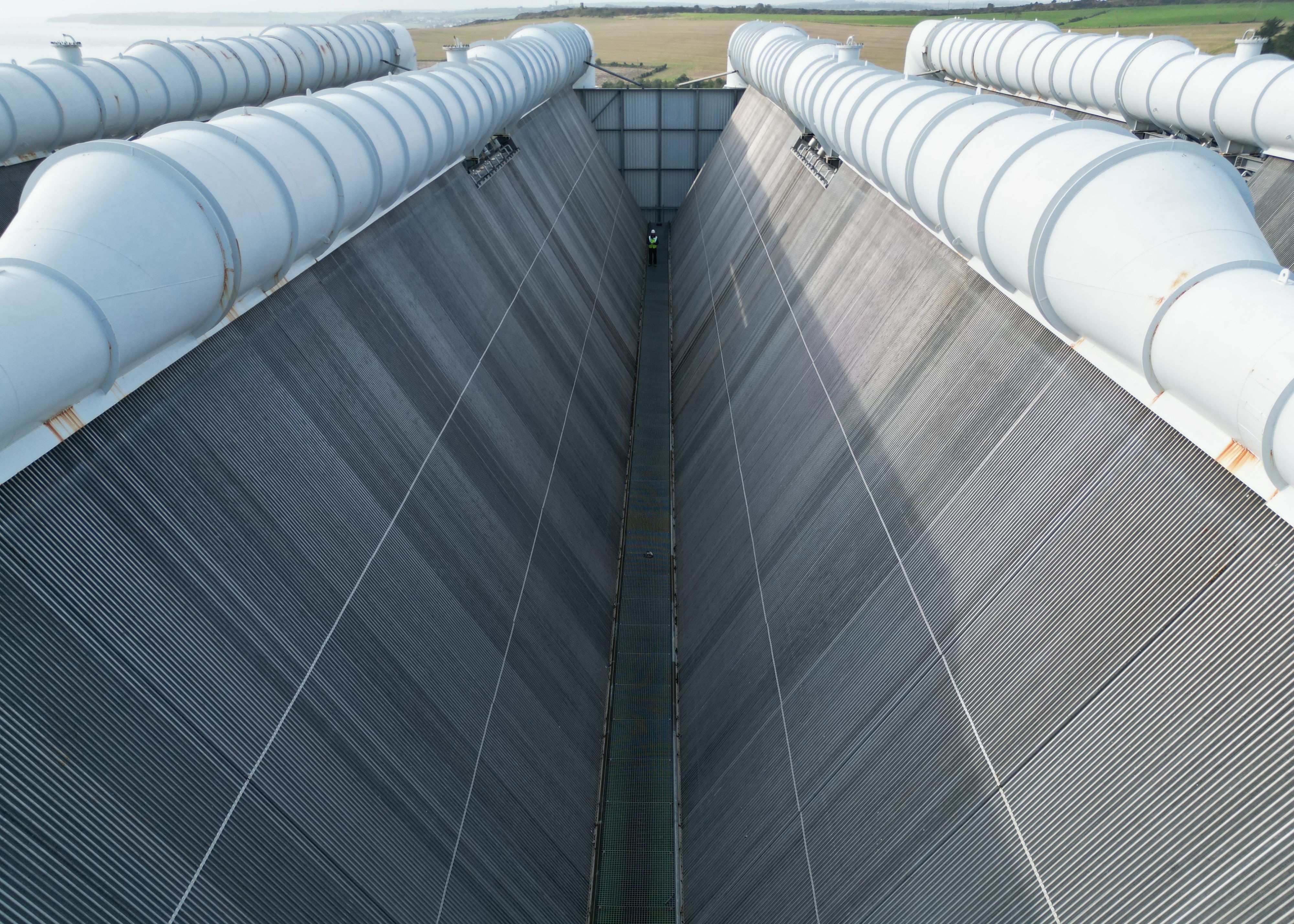
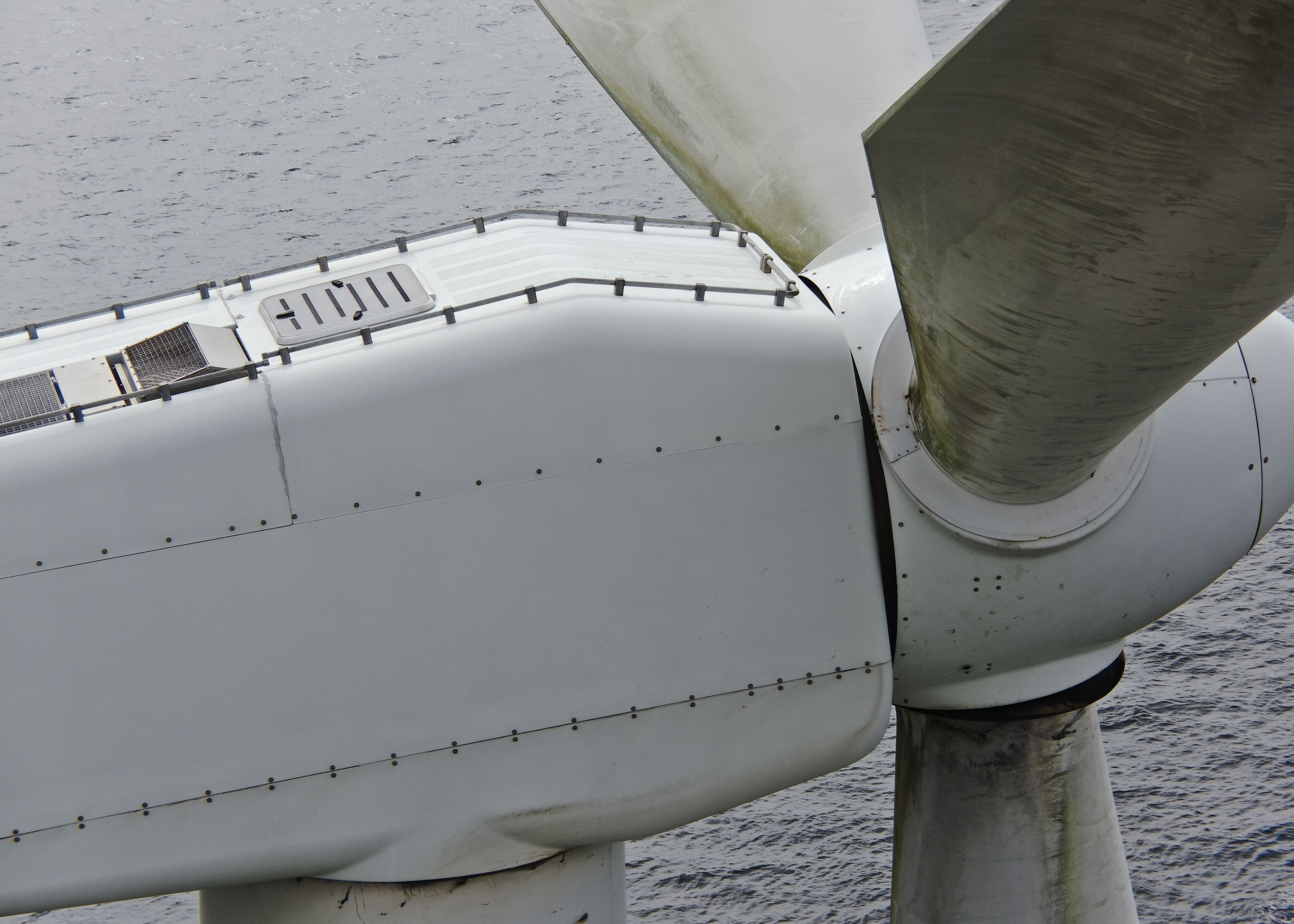
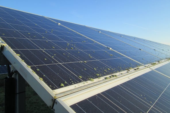
In comparison to traditional inspections, drones provide a higher degree of detail. High-definition cameras and cutting-edge zoom lenses pick up the tiny details that may otherwise go unnoticed, such as missing connections, rust, or damaged insulators, while at the same time keeping personnel safe and on the ground.
Using LIDAR technology, while producing a digital twin, allows us to easily identify objects that lie less than a set distance away from your energy asset. This gives you a clear reading on vegetation, or other unexpected foreign objects, that might be encroaching or coming in contact with your asset.
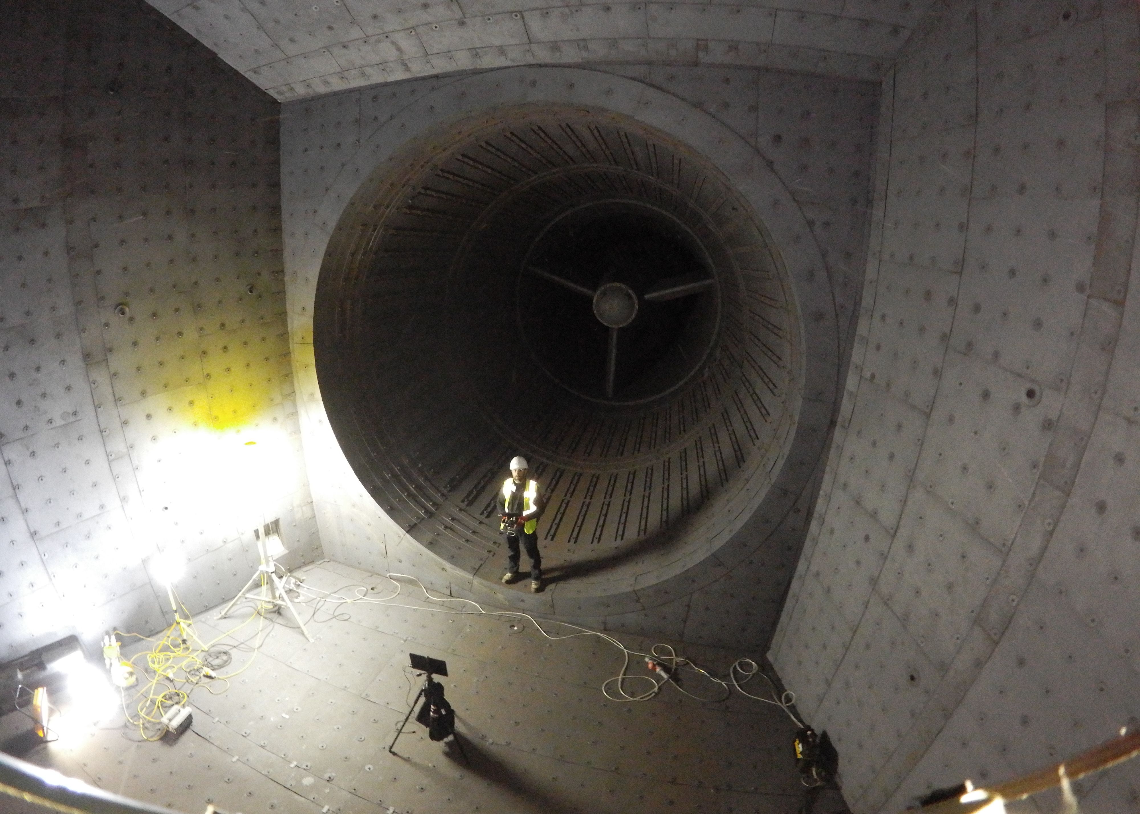
The unlimited angles and crystal-clear imagery offered by drones allows you to instantly analyse tiny details across a large scale. And, gives you pinpoint accuracy when taking stockpile, distance, and volume measurements.
The safety of your personnel and our own is paramount, and we place it at the forefront of our company culture. Ask us about our HSSE systems and practices.
Downtime is expensive and inconvenient. Using a drone, our engineers can conduct a thorough survey with little to no downtime.
Drone technology is cheaper, safer and more reliable than traditional methods such as scaffolding, cherry-pickers and ropes. It's also quicker and less labour-intensive. We will bring everything we need and be out of your way that same day.
Our equipment won't touch or even go close to your assets. Our high-resolution cameras use optical zoom to give extreme close-up views while staying a safe distance away.
We use cutting-edge technologies to detect problems that would otherwise be invisible. These include 4K ultra-HD photography/video, LIDAR and thermal imaging.
Drones aren't just for flying up in the sky. Our specialist drones can fly into confined spaces like chimneys and boilers to look for issues that would otherwise be inaccessible.
We understand that you need answers fast. We can deliver a plain-English report with clear-cut conclusions in days. Then, you can take the steps you need to and get back to doing what you do best.
Need us there in a hurry? No problem. Let us know what you need, and we can be there on the same day. After all, sometimes the problem just won't wait.
Drone surveys are a practical alternative to traditional inspections. They cut out the need for rope access, reduce paperwork, and avoid shutting down your site.
Drones can access hard-to-reach areas safely and quickly, capturing clear data from above. This makes it easier to spot faults early — before they become costly problems.
Inspections in the energy sector sometimes need to be carried out underwater and in confined spaces. Engineer With Drones offers a solution for these inspections with underwater drones and special equipment and can also reach offshore platforms.


























Optical zoom is a feature found in cameras that allows you to change the focal-length of the lens, which in turn magnifies the image. Unlike digital zoom, which simply enlarges the pixels of an image, optical zoom physically moves the lens elements to zoom in or out, resulting in a higher-quality, more detailed image.
Optical zoom is better than digital zoom for several reasons. Firstly, optical zoom maintains the image quality and sharpness because it captures more detail from the subject. In contrast, digital zoom often results in a pixelated, blurry image because it enlarges the existing pixels of an image, which degrades the quality.
Secondly, optical zoom allows you to get closer to your subject without physically moving closer, which can be useful in situations where you cannot or do not want to approach your subject closely. This can be especially helpful for wildlife photography or for taking photos of events from a distance.
Overall, optical zoom is a valuable feature that can help you capture high-quality, detailed images from a distance, making it a must-have for many photographers.

UHD or Ultra High Definition signifies that a camera's resolution is 3840x2160 pixels. This is exactly four time higher than high definition cameras (1920x1080 pixels), and so UHD is often also know as 4K. More about drone photography...