
Drone surveys
We capture high-quality aerial images of your land. Our UAV surveys can be used for 2D and 3D land mapping, topographical surveys, and more.
Let's talk
We capture high-quality aerial images of your land. Our UAV surveys can be used for 2D and 3D land mapping, topographical surveys, and more.
Let's talkWhether you're inspecting an existing asset or surveying land to build a new one, drones can give you accurate, actionable and cost-effective data in minimal time. Dangerous or hard-to-reach structures and terrain pose no problems at all. And, even on the busiest working sites, there is little or no downtime. Best of all, every aspect of your survey will be conducted by an experienced, qualified engineer who speaks your language. Watch our video where our founder Bob Foley explains drone surveys.
A drone survey delivers similar (albeit more accurate) results to a traditional land or property survey. The main difference is that the process is conducted from above using an unmanned aerial vehicle UAV or 'drone'. Photographing and measuring the terrain from multiple angles, our drones take thousands of highly accurate measurements before tagging the resulting images with coordinates. Using this data, we use specialist software to produce high-resolution maps, geo-referenced orthomosaics or 3D models.
Want to know the topography of your project area without trees and vegetation? We can do that for you using LIDAR.
Want to know the volume of a stockpile, landfill or spoil tip? Our drones can calculate it quickly and accurately. No more guesswork, no more expensive underestimates and miscalculations.
Using ground penetrating radar (GPR), we can detect and map subsurface infrastructures such as utilities and power lines. This data can be used to keep large-scale construction projects timely, safe and financially predictable.
Overlay drone images with drawings of planned buildings and infrastructure. Then use the resulting aerial map to show how existing urban spaces will be affected or enhanced by the proposed development.
Use multispectral imaging we can detect tiny variations in plant health even before visible symptoms appear. Multispectral images can reveal small reductions in a plant's chlorophyll content well before the leaves start to turn yellow.
Imagine your own private "Google Earth" but with much better quality and in a much higher definition. That's what a drone can give you in the form of orthosmosaic imagery: ultra-detailed, ultra-accurate images of large project areas. Orthosmosaic images are geo-referenced like a map but have the real-world appearance of a hi-res photograph.
Use a drone to calculate and monitor the slope of unstable surfaces for the mitigation and prevention of slippages and landslides.
Surveys conducted by drones are much faster than traditional, land-based methods and require less manpower.
Our equipment won't touch or even go close to your assets. Our high-resolution cameras use optical zoom to give extreme close-up views while staying a safe distance away.
We understand that you need answers fast. We can deliver a plain-English report with clear-cut conclusions in days. Then, you can take the steps you need to and get back to doing what you do best.
The safety of your personnel and our own is paramount, and we place it at the forefront of our company culture. Ask us about our HSSE systems and practices.
Digitise any landscape. Get an ultra-accurate 3D Map of even the most challenging and hard-to-reach terrain. Reveal the true contours of your landscape, stripping away vegetation and unearthing obscured features such as power lines. LIDAR gives you crystal-clear results, even in difficult lighting and weather conditions.
LIDAR SurveysDigitise any asset or landscape. With photogrammetry, turn just about anything into an ultra-detailed 3D model or 'twin'. A large, hard-to-reach or even hazardous object in the field becomes instantly accessible from any angle to everyone in the team.
PhotogrammetryIn addition to quadrupling the resolution of an HD camera, 4K also gives you quicker frame rates, incredible contrast variations, and expanded colours. VR video takes the level of immersion and clarity to the next level.
Images & Video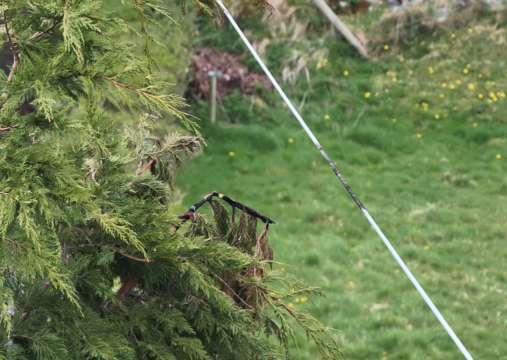
On the left is a tree, on the right is a live 10kV line. Clearly these two have been having a 'conversation'. This is the sort of issue we find with our drones for the ESB. We find them so they can be rectified before they become a bigger issue in the future."
- Bob Foley, CEO of Engineers with Drones
Learn more about power lines drone inspection














































Drone surveys are changing the way the game is played in countless industries. Here are just a few of the industries, landscapes and assets where our UAV surveying has become most popular.
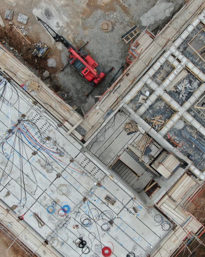
Instant, actionable data with no downtime
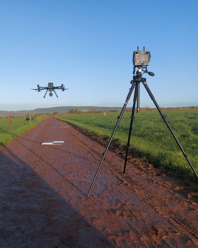
Accurate and efficient analysis of crops and land
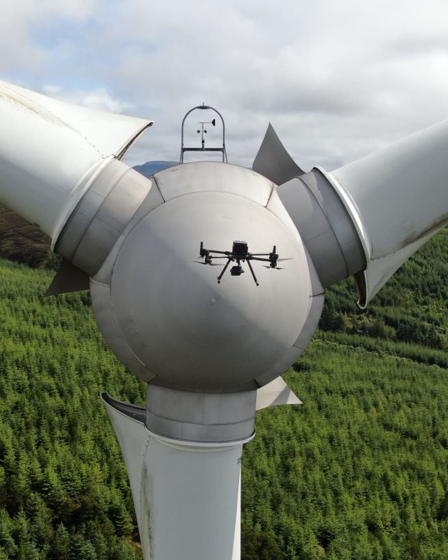
Inspect and maintain energy assets without risk or downtime
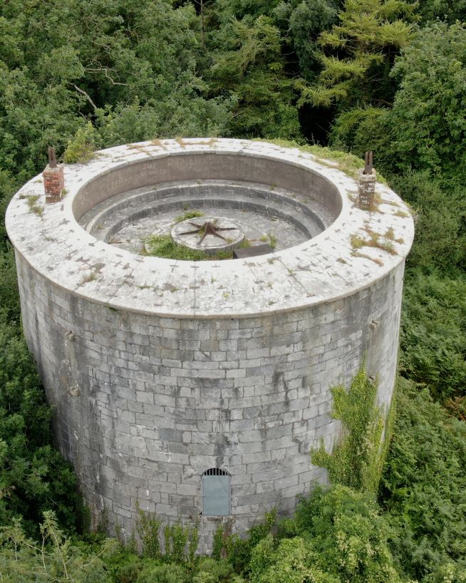
Analyse historical buildings without risk to people or property
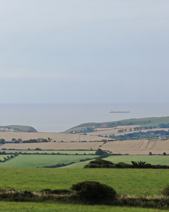
Endless perspectives, without manned aircrafts or structures
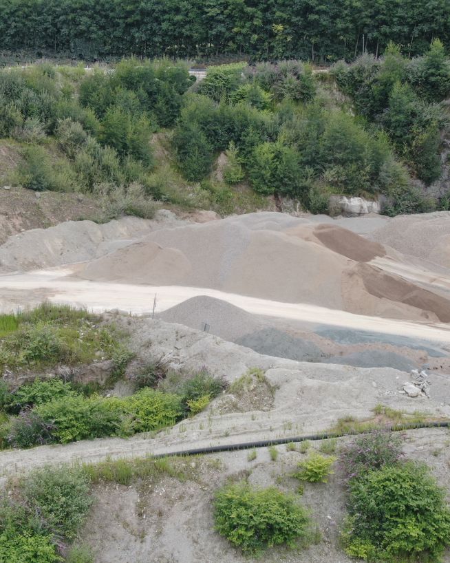
Monitor status and progress without downtime
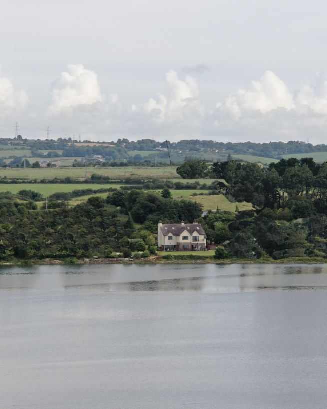
Add "Wow Factor" to residential and commercial property listings
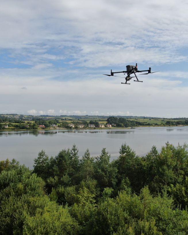
Safer, more precise data collection at a fraction of the cost
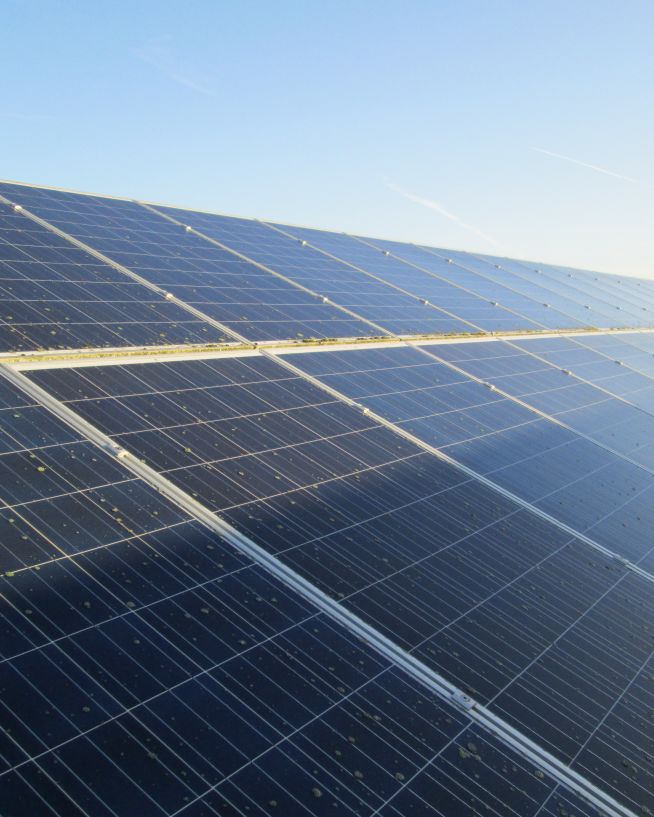
Get actionable data on quality and operational health
We take emails, phone calls, messages, everything! If you are unsure of what's possible we are happy to advise, the most important thing is to get in touch. We'll be happy to answer any questions you may have.
With drones, it's best to begin where you want to end up. What sort of deliverable would you like when it's all finished? If you are not sure then we can advise. We can look at what you would like and work backwards from there.
Once we have agreed on what is to be done, the scope of work is set and a price is agreed upon. We feel it is vital that everyone knows what they are getting and what they are paying for it. There should be no confusion.
Once we have confirmation you are happy to proceed, we start the ball rolling. We organise things like RAMS, site permits, Air Traffic Control clearance and much more. Basically, we generate everything needed to turn up on-site with all our ducks in a row.
Next, we do the work on site. We have the gear, we have the know-how, so now it's time to get the job done. This can sometimes be affected by the weather, but for the most part, we get the job done on the date specified.
This is where we take what we generated in the field and turn it into a final deliverable for you. This can be anything from the raw data itself, to fully processed Orthophotos, condition reports, CAD line work or thermal imagery.
The final step is the handover of the deliverables. We tend to use a cloud-based service, so you can access your data anywhere. We can also tie into your existing systems if that is more convenient.
Engineers With Drones is the first company in Ireland to hold the new EASA Specific Category authorisation. We are authorised by the Irish Aviation Authority (IAA) and the European Union Aviation Safety Agency (EASA) for commercial Unmanned Aerial Vehicle (UAV) operations in both urban and rural environments. Total transparency: our Specific Category Authorisation Number is IRL.UAS.AUTH1002.
All of our operations are insured in the EU and globally. We hold €6.5m public and product liability, €13m employer's liability and €1.3m professional indemnity (base level, coverage raised as required).
We are more than just drone pilots. If you're looking for overhead footage of your wedding reception, we're probably not right for you. Our backgrounds and our primary qualifications are in engineering, and it's here that we think we add the most value. We know what we're looking for, and we know how to find it. If you have a technical engineering problem that a drone can solve, we can understand you. Tell us what you need to see or find out, and our engineers will use their drone piloting skills to make it happen.
Yes. We're a local Irish company, and that's how we can respond so quickly to the needs of our Irish clients. We can be with you in next to no time, with the right equipment and certifications to operate them, whatever your location.
A digital surface model (DSM) made by a drone refers to a 3D representation of the Earth's surface that is created through the use of remote sensing technology. Drones are equipped with sensors that capture high-resolution images of the ground surface from different angles, which are then processed and stitched together to create a comprehensive 3D map. The DSM is different from other elevation models, as it includes all surface features, including trees, buildings, and other objects on the ground. DSMs have a wide range of applications, including land management, urban planning, environmental monitoring, and disaster response.
A Digital Surface Model (DSM) is a 3D representation of a geographic area that shows the height, shape, and texture of the terrain and any objects on the surface. It is created using digital elevation data obtained from various sources such as aerial photography, LIDAR, or satellite imagery. DSMs can be used in a variety of applications, including urban planning, flood risk assessment, and infrastructure development. They provide a detailed view of the Earth's surface, allowing for accurate measurements of elevation and topography. DSMs are a valuable tool for analyzing and visualizing the landscape and can be used to support a wide range of geospatial analyses.
A digital terrain model (DTM) created by a drone refers to a highly accurate and detailed digital representation of the Earth's surface, generated through the use of unmanned aerial vehicles (UAVs) equipped with advanced sensors and cameras. These sensors collect a vast amount of data, which is then processed using specialized software to create a 3D model of the terrain. The resulting DTM is typically used for various applications such as urban planning, construction, forestry, agriculture, and natural resource management. The advantage of using a drone to create a DTM is its ability to capture data from hard-to-reach areas and produce high-resolution images with incredible accuracy.
A digital terrain model (DTM) is a digital representation of the Earth's surface that captures the elevation data of a particular area, represented in a grid format. It is created by using specialized software that analyzes data from various sources, such as satellite imagery, aerial photography, and ground-based surveys. The DTM accurately portrays the three-dimensional topography of the terrain, including the height and slope of the land, and can be used for a wide range of applications, such as urban planning, flood management, geological analysis, and environmental modeling. DTMs are widely used in the fields of cartography, geology, geography, and remote sensing, among others.
DSM (Digital Surface Model), DTM (Digital Terrain Model), and DEM (Digital Elevation Model) are three commonly used terms in the field of geomatics and remote sensing. These models represent different types of 3D data models that are used to represent the elevation of the Earth's surface. Although they are often used interchangeably, there are some significant differences between these models.
A DSM represents the topmost surface of the Earth's terrain, including any vegetation, buildings, and other objects that may be present on the ground. In other words, a DSM is a digital representation of the Earth's surface with all features and objects included. DSMs are commonly used in applications such as urban planning, flood modelling, and environmental studies, where a detailed representation of the Earth's surface is required.
A DTM represents the bare Earth surface, excluding any objects or features above the terrain such as vegetation, buildings, and other structures. DTMs are used to study the Earth's surface in its natural form, and are commonly used in applications such as topographic mapping, hydrology, and soil mapping. DTMs are created by removing all features from a DSM, leaving only the terrain elevation data.
A DEM represents the elevation of the Earth's surface in a digital format, regardless of whether it is covered by objects or features such as vegetation or buildings. DEMs can be derived from both DSMs and DTMs, and are used in a wide range of applications, such as flood risk assessment, land management, and geological studies.
The main differences between DSMs, DTMs, and DEMs lie in the type of data they represent and the applications they are used for. DSMs represent the topmost surface of the Earth's terrain, while DTMs represent the bare earth.

Optical zoom is a feature found in cameras that allows you to change the focal-length of the lens, which in turn magnifies the image. Unlike digital zoom, which simply enlarges the pixels of an image, optical zoom physically moves the lens elements to zoom in or out, resulting in a higher-quality, more detailed image.
Optical zoom is better than digital zoom for several reasons. Firstly, optical zoom maintains the image quality and sharpness because it captures more detail from the subject. In contrast, digital zoom often results in a pixelated, blurry image because it enlarges the existing pixels of an image, which degrades the quality.
Secondly, optical zoom allows you to get closer to your subject without physically moving closer, which can be useful in situations where you cannot or do not want to approach your subject closely. This can be especially helpful for wildlife photography or for taking photos of events from a distance.
Overall, optical zoom is a valuable feature that can help you capture high-quality, detailed images from a distance, making it a must-have for many photographers.

An orthomosaic is a high-resolution, georeferenced image produced by stitching together multiple overlapping aerial or drone images. Unlike a regular mosaic, an orthomosaic corrects for perspective distortion and terrain variations, resulting in a highly accurate and detailed representation of the area being imaged.
Orthomosaics are used in a variety of fields, including agriculture, construction, urban planning, and environmental monitoring. For example, in agriculture, orthomosaics can be used to create detailed maps of crop health and yield, allowing farmers to optimise their planting and fertilization strategies. In construction, orthomosaics can be used to monitor progress and identify potential safety hazards on a job site. In urban planning, orthomosaics can be used to map out infrastructure and identify areas in need of maintenance or repair. And in environmental monitoring, orthomosaics can be used to track changes in land use, detect changes in water quality, and monitor wildlife habitats.
An orthophoto is a georeferenced aerial or satellite photograph that has been corrected for topographic relief, camera tilt, and other distortions so that it has a uniform scale and can be used for precise measurement and mapping.
To create an orthophoto, multiple overlapping images of an area are captured from different angles and heights. These images are then corrected for distortions, such as perspective and relief displacement, using photogrammetric techniques. The result is an image that has a uniform scale and can be used for accurate measurements of distance, area, and volume.
Orthophotos are used in a variety of applications, including urban planning, land surveying, environmental management, and emergency response. They are particularly useful for identifying and mapping changes in land use, such as the expansion of urban areas or the conversion of natural habitats. Orthophotos can also be used to create detailed terrain models and to plan the placement of infrastructure, such as roads and buildings.
Real-Time Kinematic (RTK) is a type of satellite-based positioning system that is commonly used in surveying and mapping applications. RTK technology uses a combination of GPS (Global Positioning System) and GLONASS (Global Navigation Satellite System) signals to provide highly accurate and precise location information. Unlike traditional GPS systems that provide accuracy within a few meters, RTK systems can provide Centimetre-level accuracy in real-time. RTK works by using a fixed base station that receives satellite signals and transmits corrections to a mobile rover receiver in real-time. This allows the rover to calculate its precise location relative to the base station with high accuracy and speed.