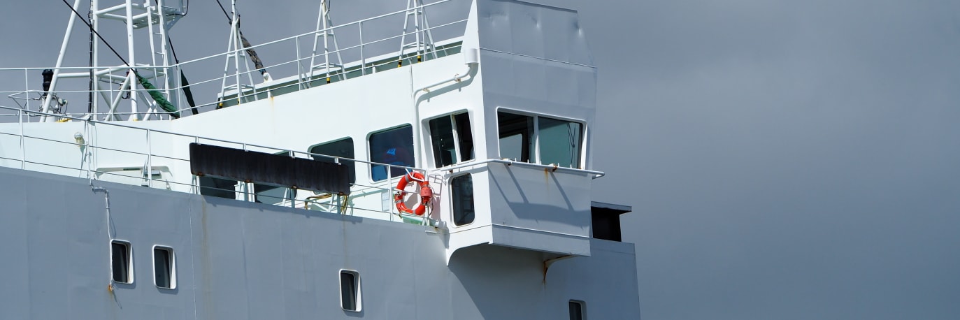
Traditional hull surveys take the vessel out of service and into drydock — days of lost revenue and access costs. An aerial drone and an underwater ROV can cover the same surfaces while the ship remains afloat in port: the hull above the waterline from the air, the hull below it from the water.
The two data sets combine into one condition survey. Above water: superstructure, hull sides, and deck. Below water: coating failure, fouling, propeller and rudder condition, and anode wear — all recorded as timestamped video and stills, referenced to the vessel where drawings are available.
Does the vessel need to be drydocked for an inspection?
No. The survey is carried out while the vessel is afloat in port. An aerial drone covers the above-waterline hull and superstructure; an underwater ROV covers the hull below the waterline.
More about underwater drone inspectionsWhat does the ROV record that a visual diver check can miss?
The ROV records continuous video that can be reviewed repeatedly, at a consistent standoff distance, with no limits on dive time. Propeller, rudder, and anode condition are documented the same way on every survey.
See the underwater ROV we useHow much vessel downtime does an inspection involve?
Typically hours alongside in port rather than days in drydock. The vessel stays in the water and in service for the duration of the survey.
Discuss your vessel survey requirements








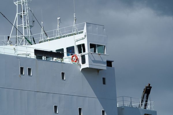
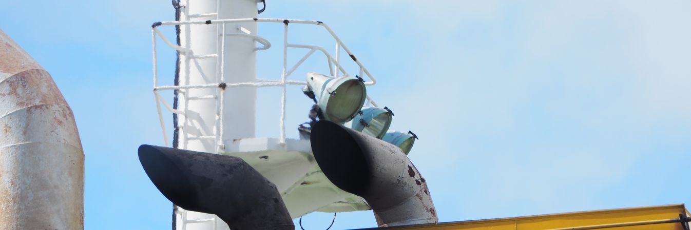
Aerial drones photograph the superstructure, hull sides, and deck from the air. Corrosion, coating failure, and structural damage above the waterline are captured in high-resolution imagery while the vessel remains afloat in port.
Photography is organised systematically — hull side, deck, and superstructure each covered in sequence — so the report reads like the vessel, not a random set of photographs.
What areas does the aerial survey cover?
The superstructure, hull sides above the waterline, and the deck. Every section is photographed systematically, so the whole vessel is on record in one consistent pass.
Discuss your vessel survey requirementsDoes the vessel need to leave service for the aerial pass?
No. The drone is flown around the vessel while it remains alongside in port. Cargo operations and crew movements are typically unaffected.
More about inspections without shutdown
An underwater ROV surveys the hull below the waterline — coating failure, fouling, dents, and deformation — recording continuous video for repeat review. No diver enters the water.
The ROV flies along the hull at a controlled standoff, recording continuously. Because the footage is video, it can be paused, zoomed, and re-reviewed ashore — every square metre of hull is on record, not just the areas a diver happens to reach.
How far below the waterline can the ROV inspect?
The ROV is depth-rated and operated from the surface on a tether, so it covers the hull from the waterline down to the keel while the vessel stays alongside.
See the underwater ROV we useDoes the inspection disturb the vessel or the port?
No. There are no divers, no scaffolding, and no drydocking. The vessel stays in the water and in service for the duration of the survey.
More about underwater drone inspectionsCan the footage be kept as a dated record?
Yes. The video and stills are timestamped, so each survey forms a dated record for condition tracking, maintenance planning, and repeat surveys.
Discuss your vessel survey requirements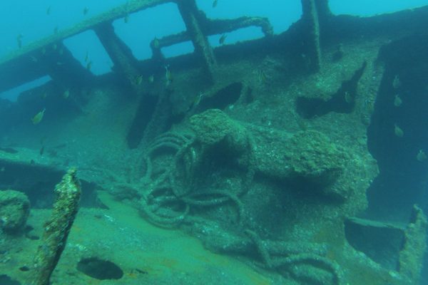
The ROV can reach the propeller, rudder, and anodes that a diver approaches at personal risk. Propeller and rudder condition and anode wear — the cathodic protection status — are assessed and recorded.
Cathodic protection depends on sacrificial anodes. Once an anode is consumed, corrosion transfers to the hull steel. The ROV records each anode's remaining size, so replacement can be scheduled before protection is lost.
Why do anodes matter?
Sacrificial anodes protect the hull steel from corrosion. A consumed anode leaves the hull unprotected, so checking how much of each anode remains tells you when replacement is due before corrosion starts.
More about underwater drone inspectionsCan the propeller be inspected without docking the vessel?
Yes. The ROV photographs and videos the propeller and rudder from the water while the vessel remains alongside, so condition can be assessed without a drydock visit.
Discuss your vessel survey requirements
Findings are compiled into an annotated condition report. Where vessel drawings are available, defect locations are referenced to them, so maintenance and repair teams can act directly on the report.
Every finding is logged with its position on the vessel. Where general arrangement drawings are available, defects are marked onto them; where they are not, the report uses photographs and descriptions that a shipyard or coating contractor can follow.
What is in the condition report?
Annotated photographs and video references covering coating failure, fouling, corrosion, and damage, with each finding located on the vessel and severity-classified.
Discuss your vessel survey requirementsCan surveys be compared over time?
Yes. Each survey covers the same surfaces the same way, so coating wear and fouling growth can be tracked from one inspection to the next, and maintenance scheduled against real condition data.
More about underwater drone inspections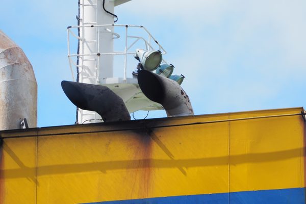
Aerial and ROV inspection while the vessel stays afloat in port, avoiding drydock cost and schedule.
Above and below the waterline covered in one mobilisation - hull sides, superstructure, propeller, rudder, and anodes.
Every surface is recorded, so the footage can be reviewed and re-reviewed as a dated record.
No divers, no decompression exposure, no confined entry alongside a hull in a working port.
Comparable surveys from one inspection to the next show when cleaning, coating, or repairs are needed.
Hull paint protects against temperature shifts, currents, and biofouling. If it starts to fail, structural damage will follow. An underwater drone can monitor hull condition in detail — identifying biofouling, wear, and any areas where the coating may be compromised. You can track changes over time and decide exactly when and where repainting is needed.
Traditional inspections rely on teams of divers rotating roles, taking breaks, and working in hazardous conditions. This slows everything down and increases risk. Underwater drone inspections remove the need for human divers. The ROV operates safely in busy ports, handles strong currents, and reaches depths without the dangers of decompression sickness — and it can survey all day, without stopping.
Tell us what you need to know, and we will work with you to design actionable deliverables that give you the outcomes you need.
A typical inspection delivers an aerial photographic survey of the superstructure and above-waterline hull, plus underwater ROV video and still photography of the hull below the waterline.
Findings are compiled into an annotated condition report. Where vessel drawings are available, defect locations are referenced to them, so a repair team or coating contractor can act directly on the report.
Superstructure, hull sides, and deck covered in high-resolution imagery.
ROV record of the hull below the waterline, propeller, rudder, and anodes.
Corrosion, coating failure, fouling, and damage findings documented.
Locations referenced to vessel drawings where available.
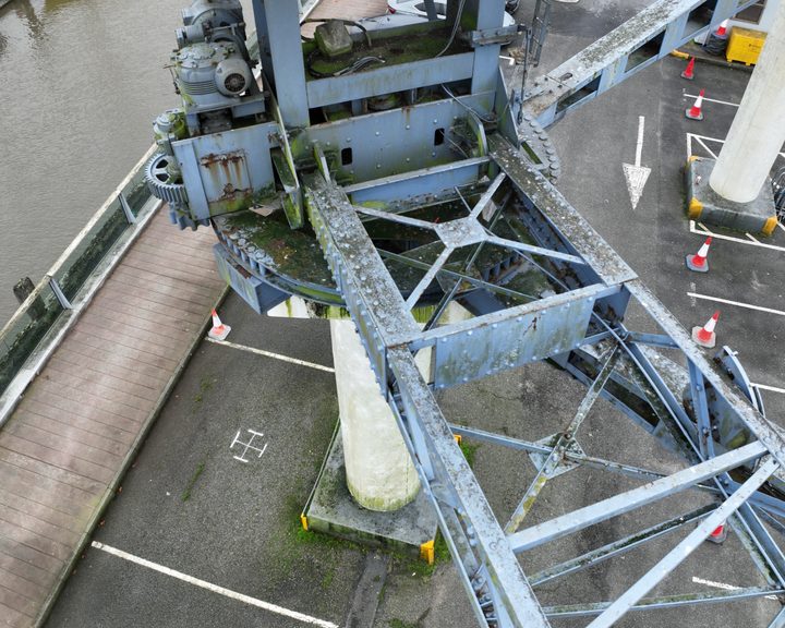
Engineers With Drones inspected a historic ship-loading crane in Waterford City docks, capturing every riveted steel component to build a 3D photogrammetric model and a full defect inspection report.
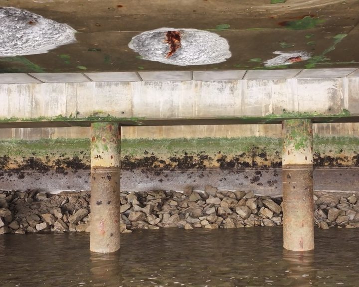
Drone inspection of pier infrastructure at Belview Port — examining the underside of shore-side facilities using UAV technology to assess concrete defects and structural integrity safely.
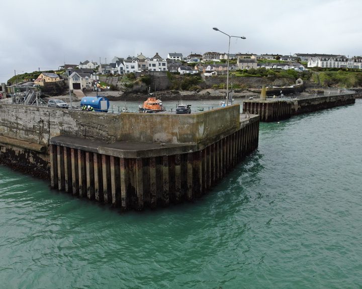
Engineers With Drones carried out a detailed drone inspection of a harbour pier wall, assessing hot-rolled interlocking steel sheet piles and concrete structure for defects and structural integrity.
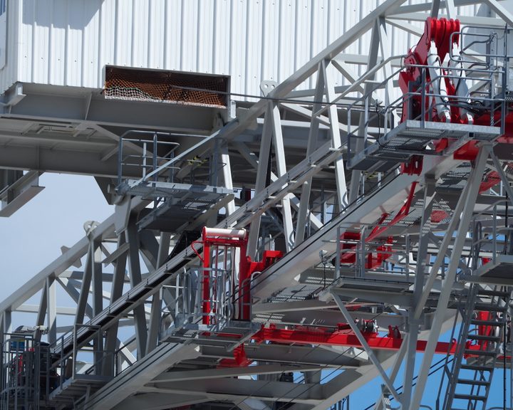
Engineers With Drones used a high-optical-zoom drone to inspect a derelict crane at a Cork port terminal ahead of decommissioning.
Complex surveys and inspections require more than just a pilot. Our engineers can help you scope your requirements and indentify the right approach.