Efficient option Our method
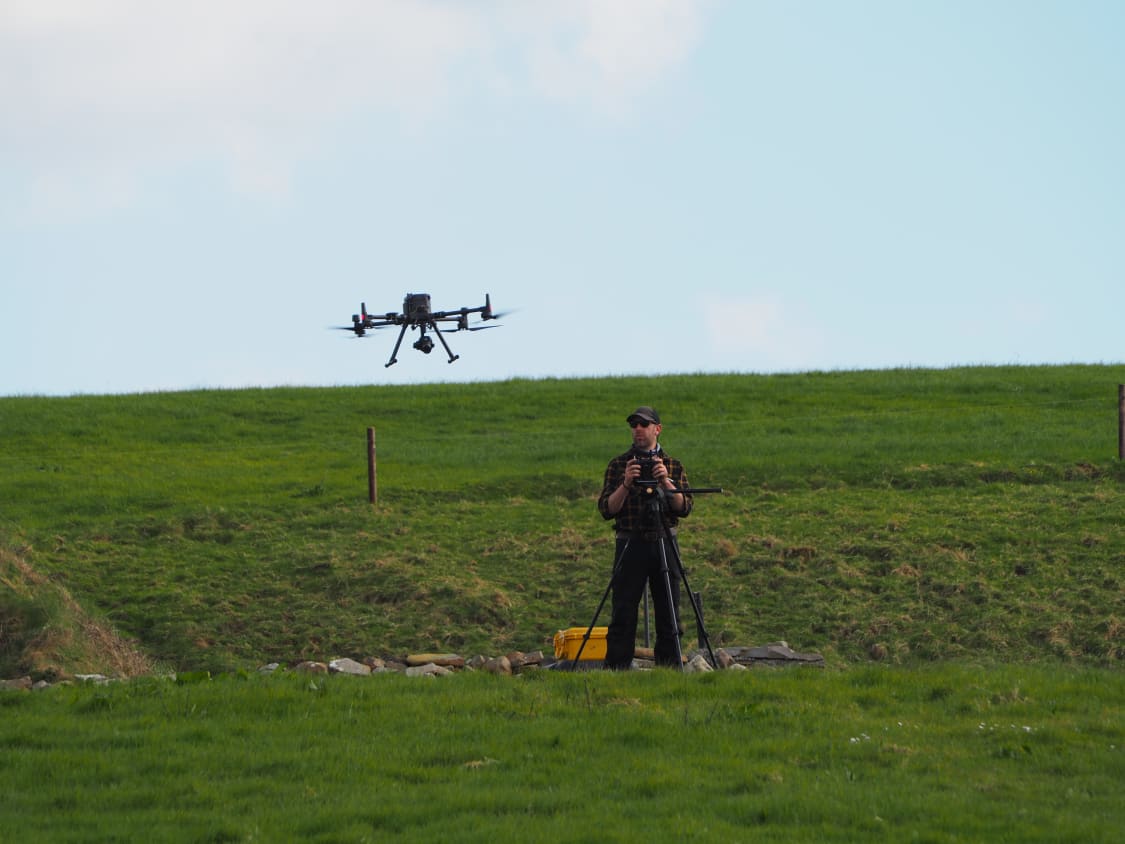
Using a drone
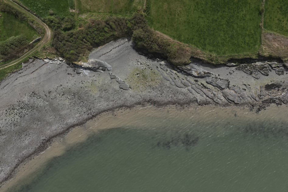
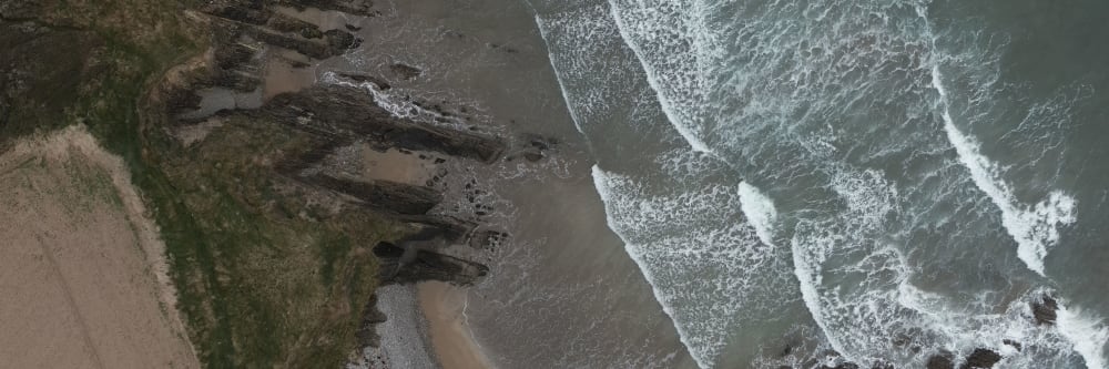
This is what the job looked like using drone technology.
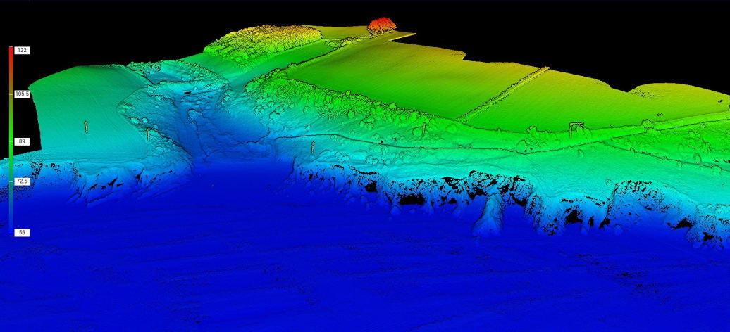
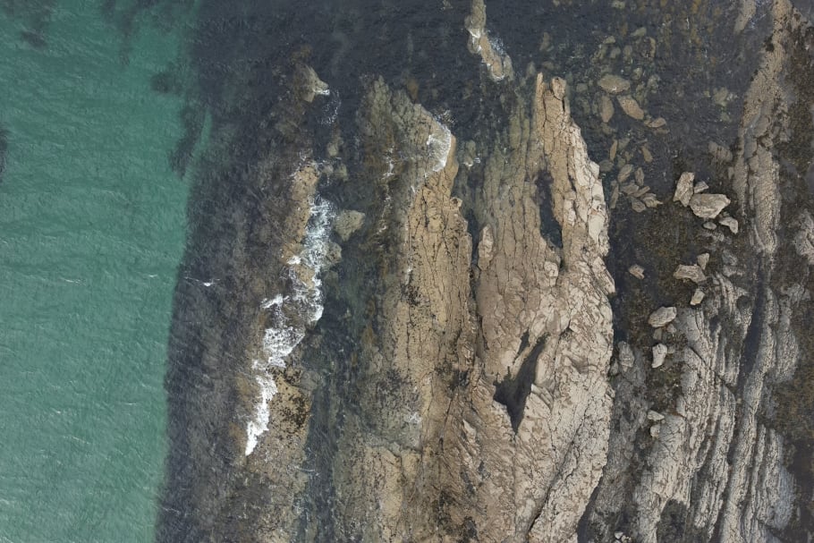
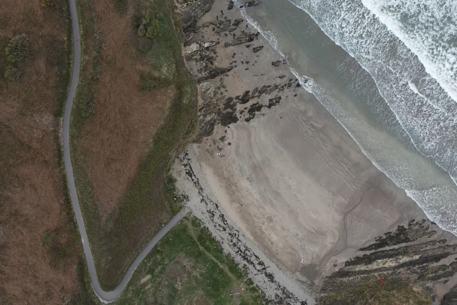
- Large-area coastal mapping made practical The team efficiently mapped 17 sites around the country, covering 350 hectares across varied coastal terrain.
- Flexible sensor selection by terrain Zenmuse P1 photogrammetry handled most sites, while Zenmuse L1 LiDAR was used where vegetation required penetration to bare earth.
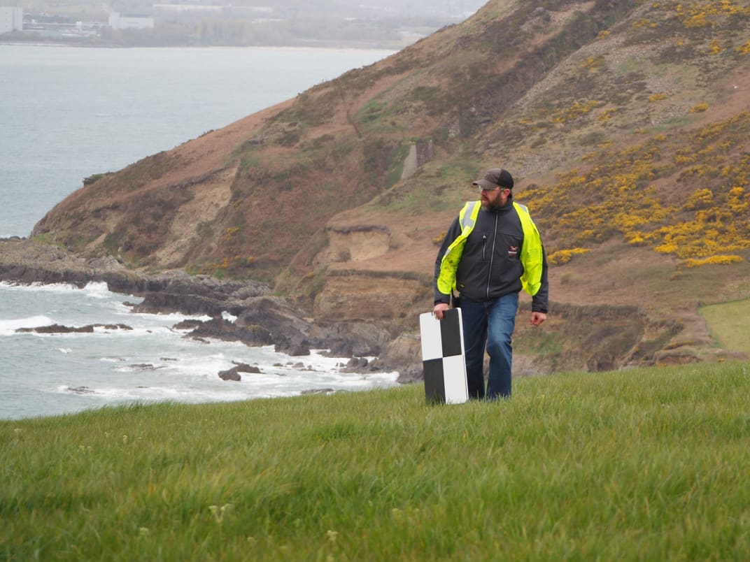
- Survey-grade accuracy with GCP control Multiple ground control points were deployed on every site, with accuracy requirements of +/- 50mm for hard detail and +/- 100mm for soft detail.
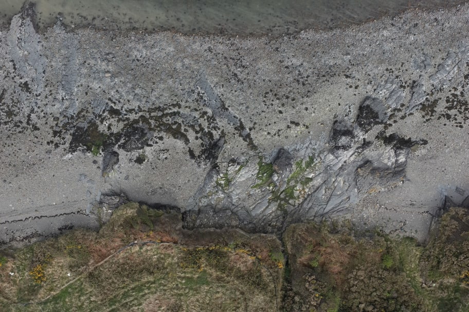
- Field capture aligned to tide and conditions Data capture was scheduled around low tide and validated against weather, cloud cover, and shadow conditions before each deployment.
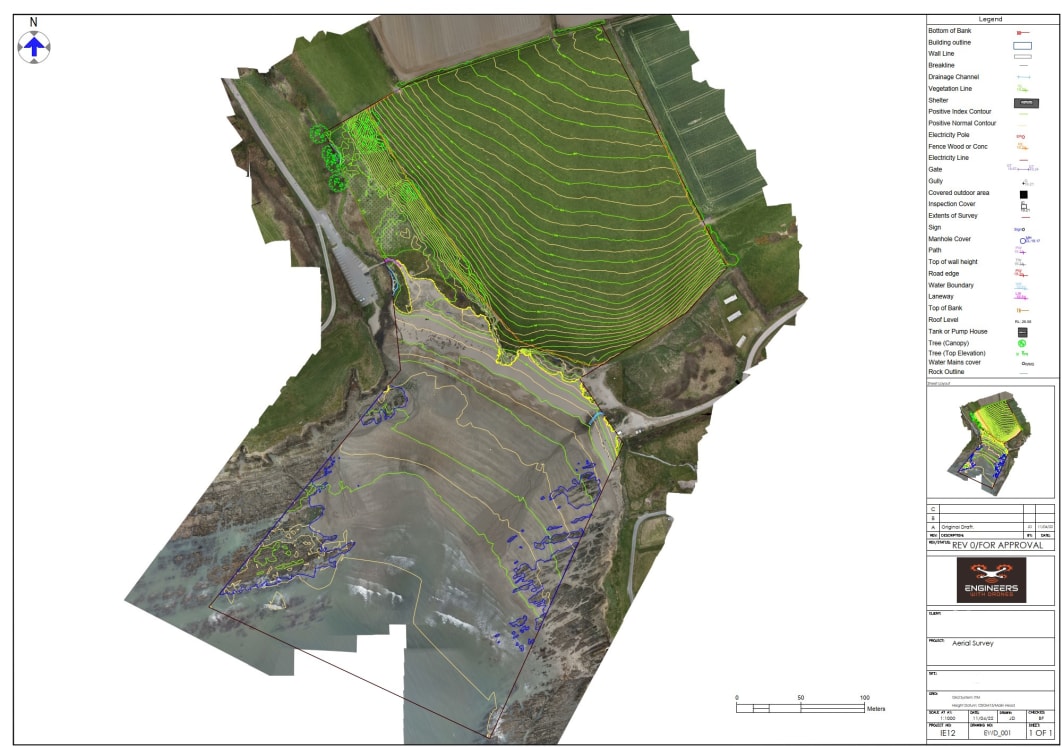
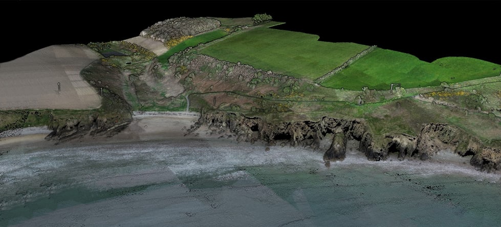
- Consistent deliverables for high-stakes decisions Each site received a full package including orthophoto, contours, point cloud, grid, TIN, PDF summary, and technical report.