- Services
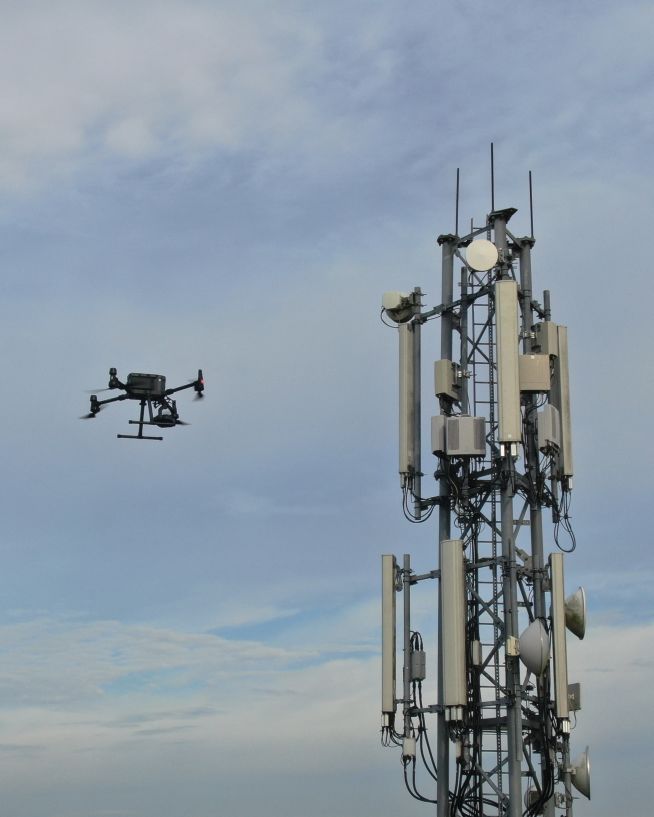
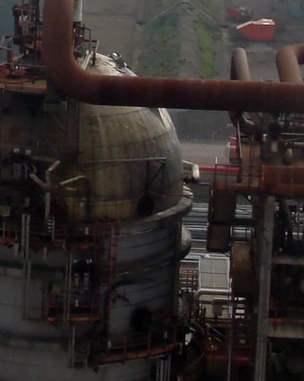
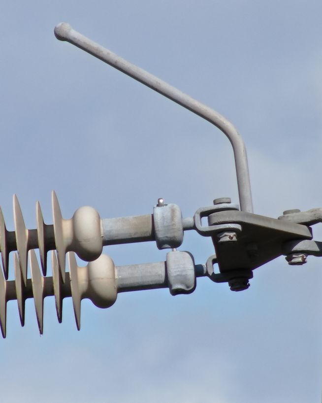
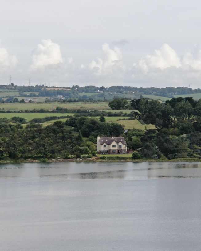
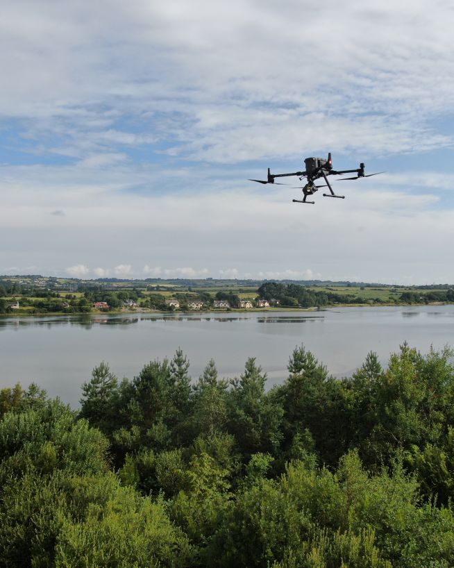
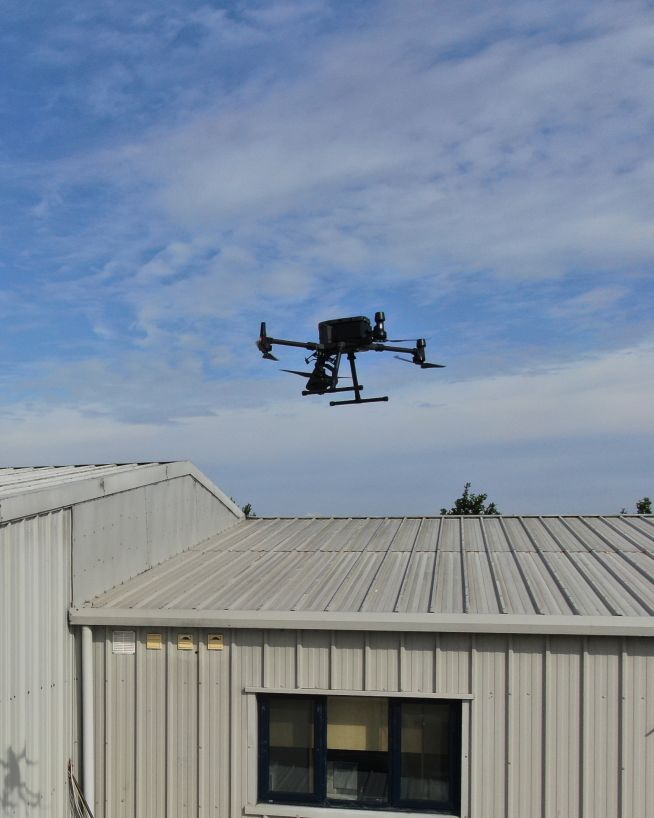
Drone Inspections
- Our drone inspections
- Drone photography
- Thermal imaging
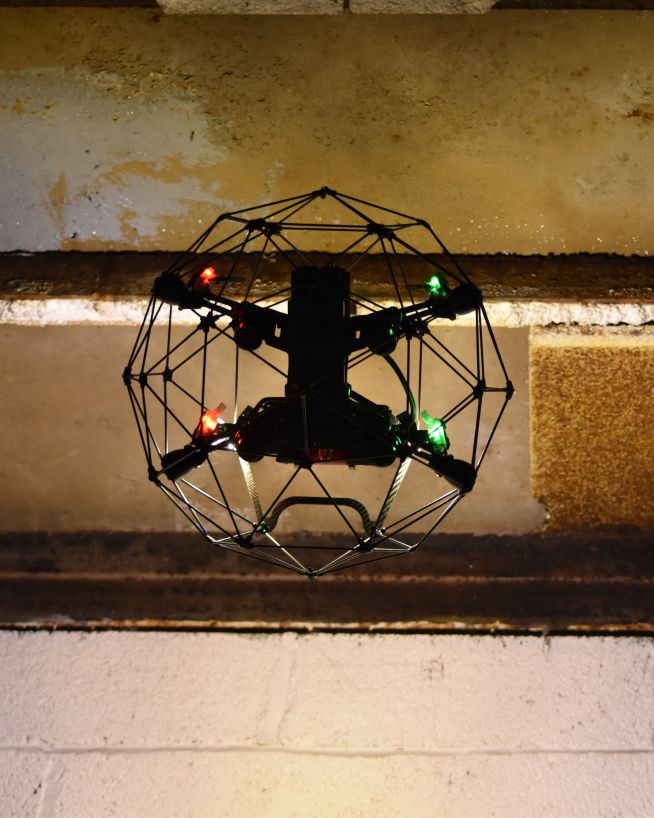
- Confined space inspections
- Underwater Inspections
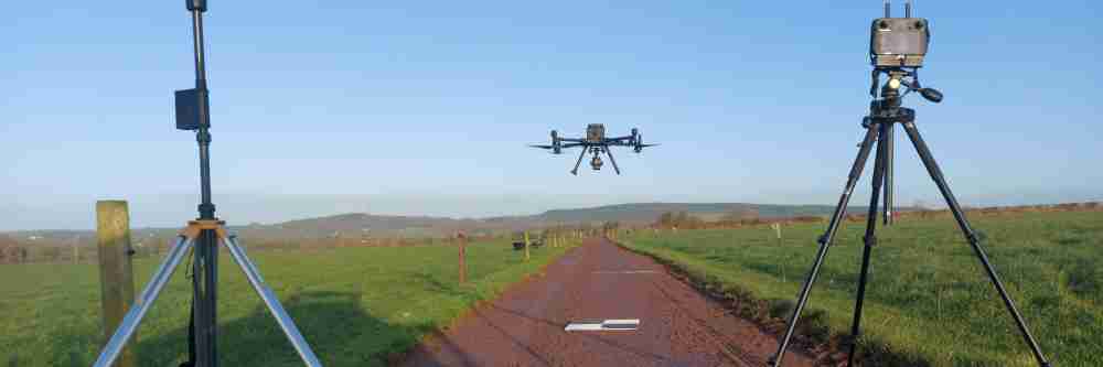
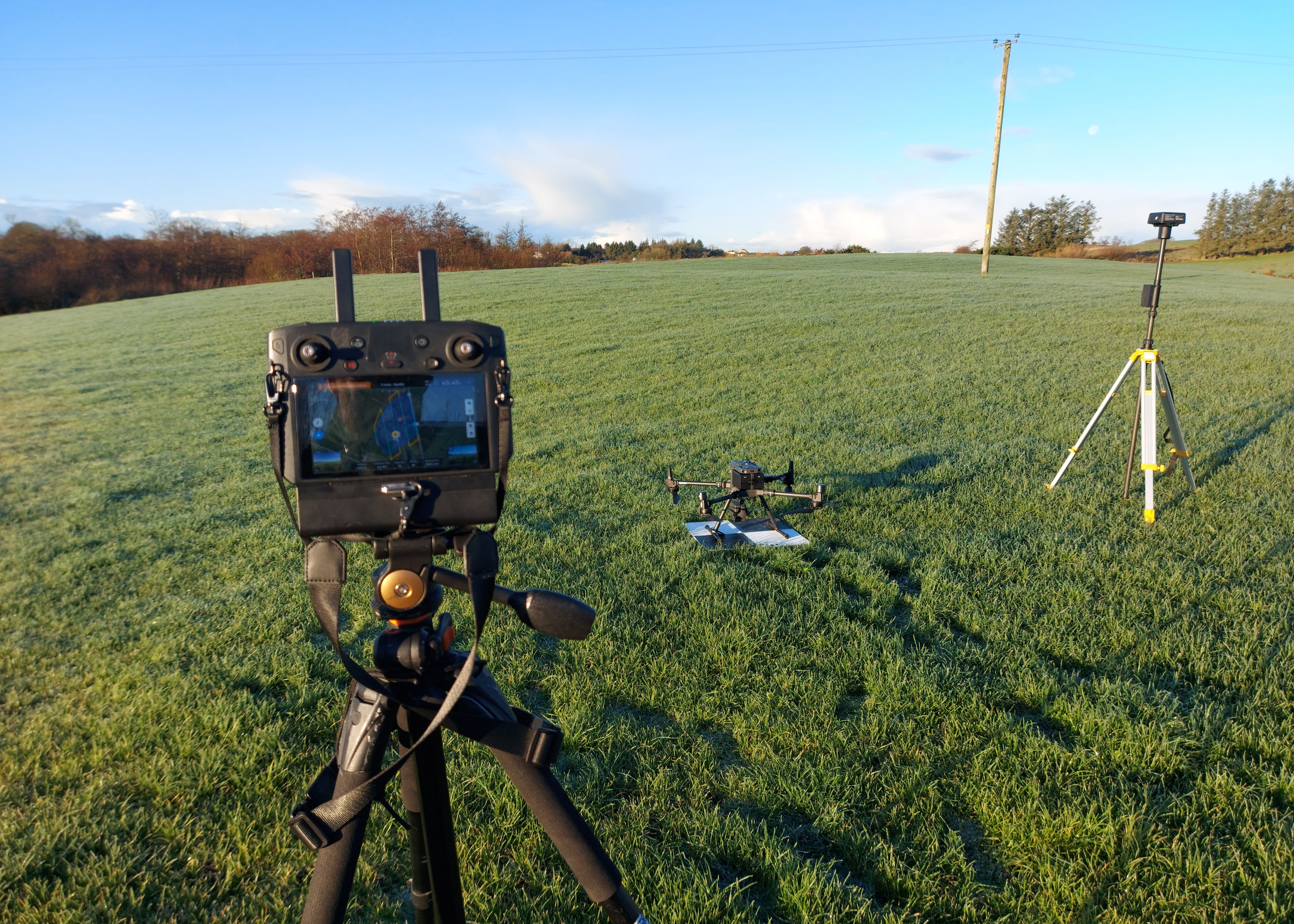
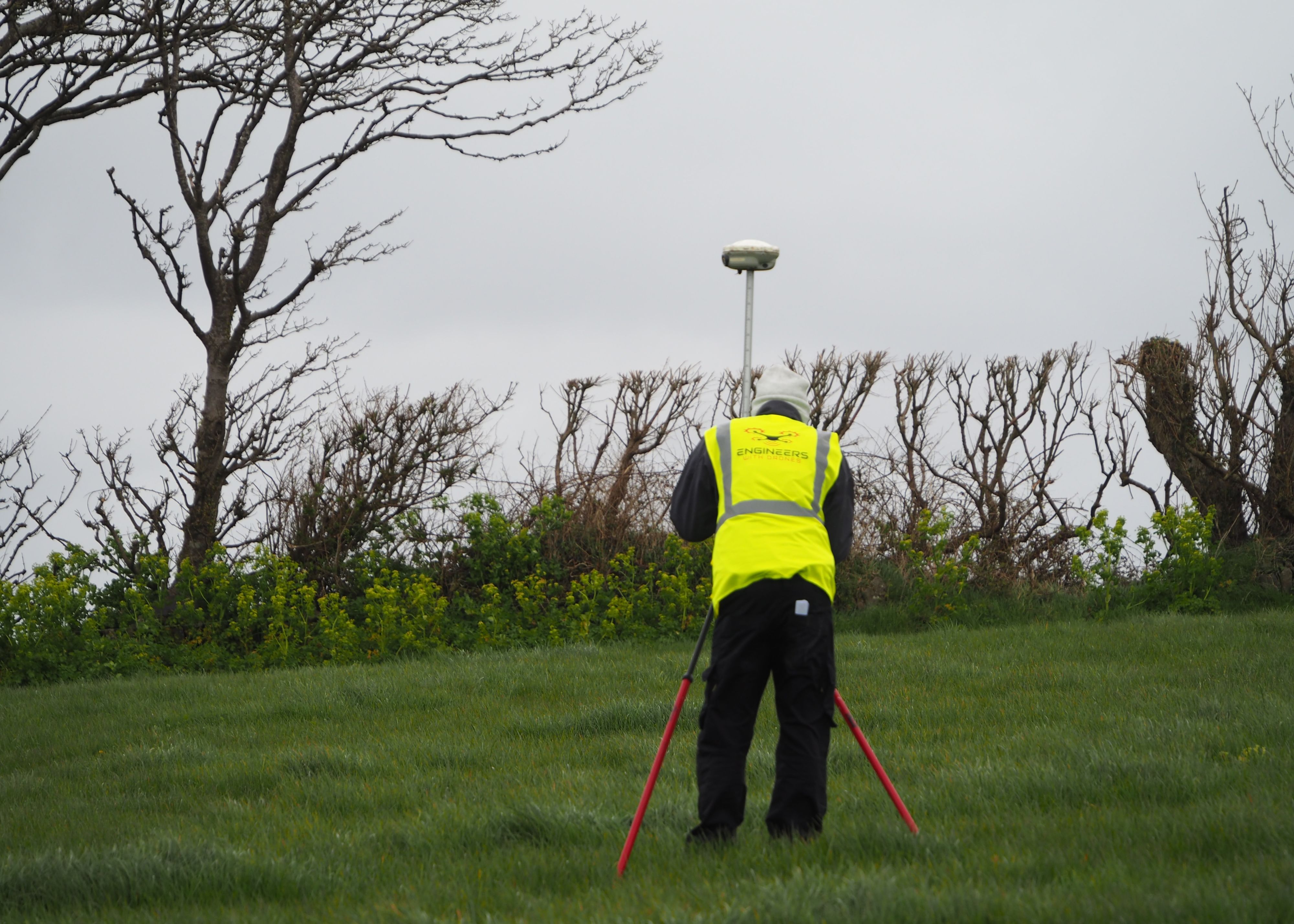
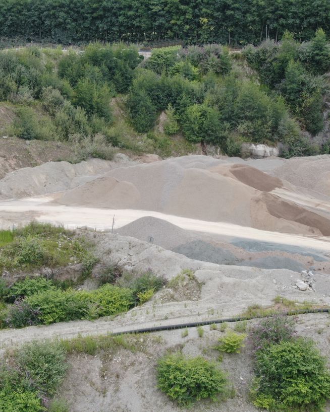
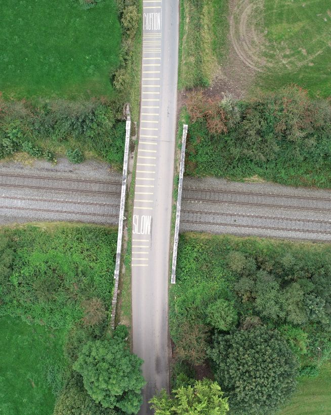
Drone Surveys
- Our drone surveys
- LIDAR surveys
- 3D mapping and digital twins
- Stockpile volume measurement
- Multispectral Imaging
- Cut and fill
Consultancy
Drone inspections
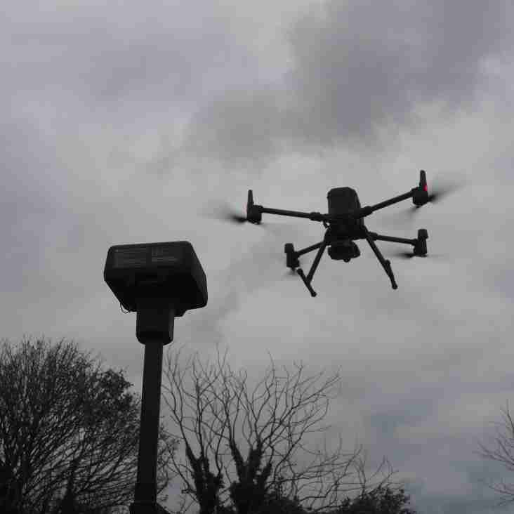
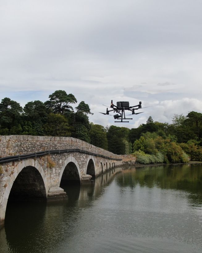
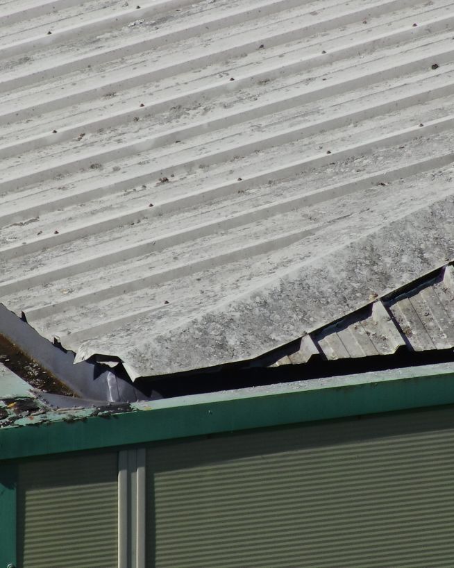
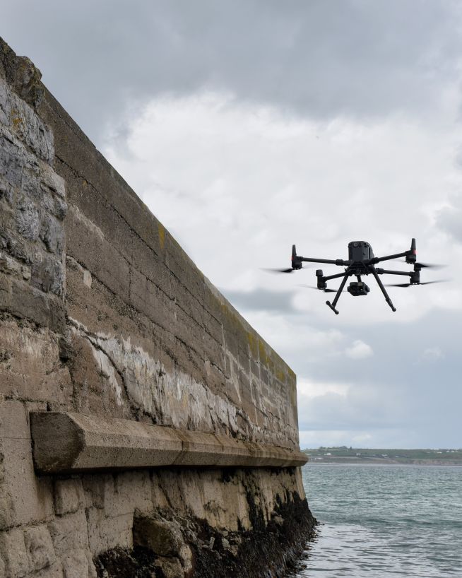
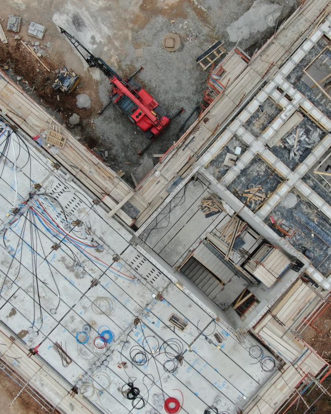
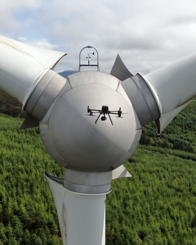
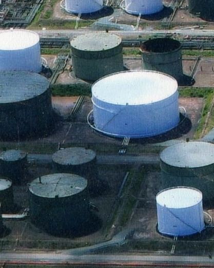
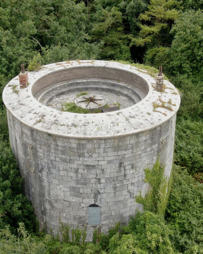
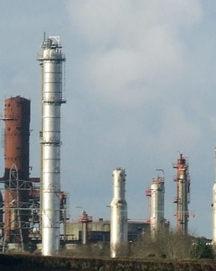
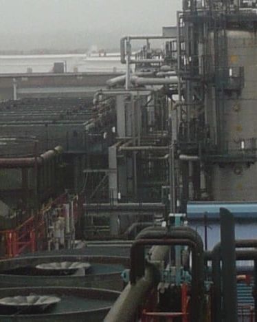
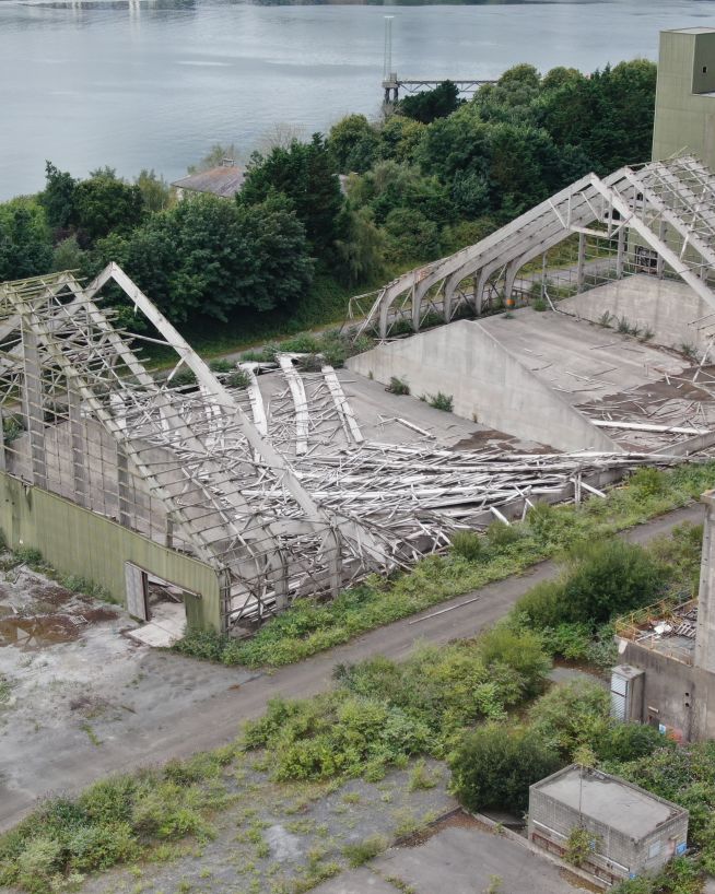
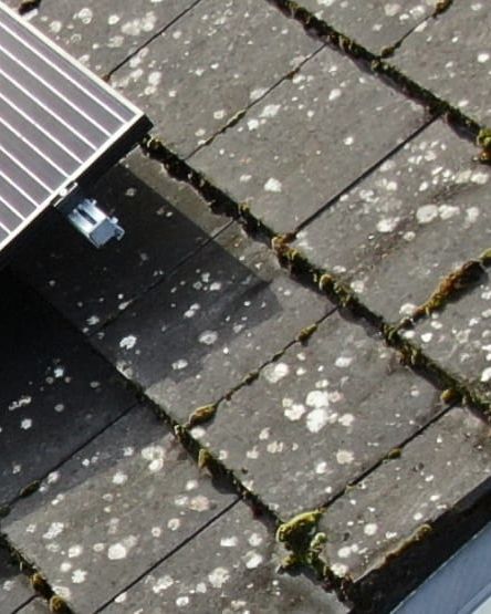
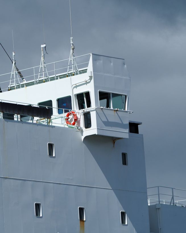
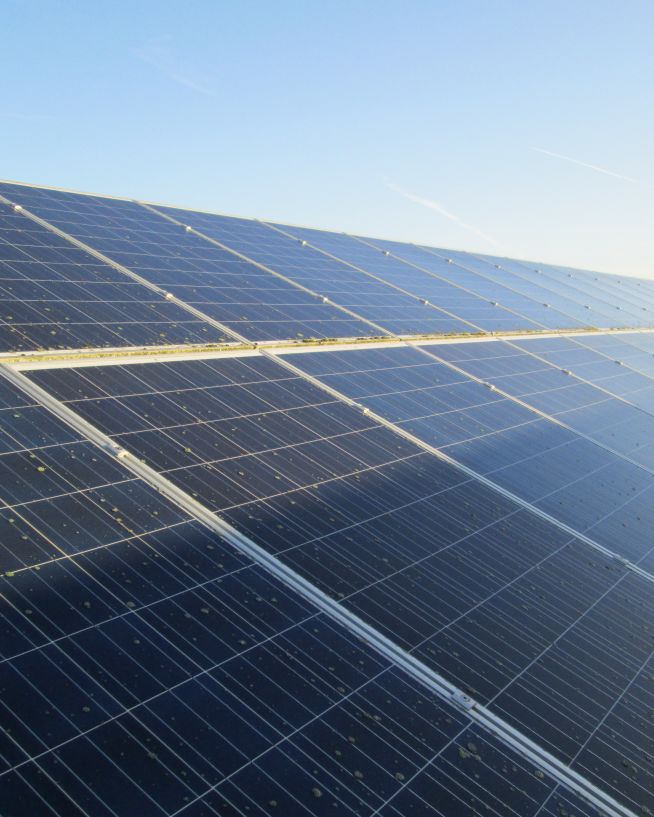
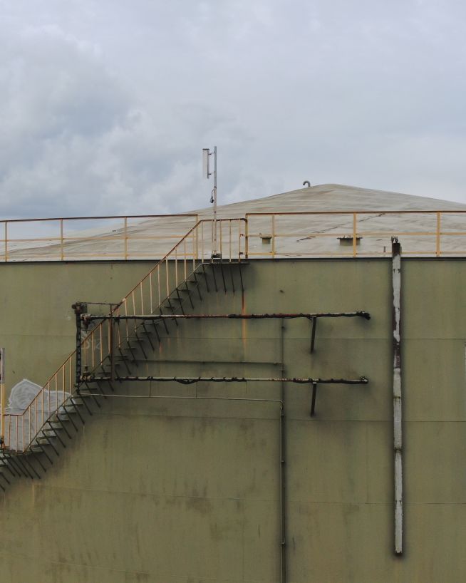
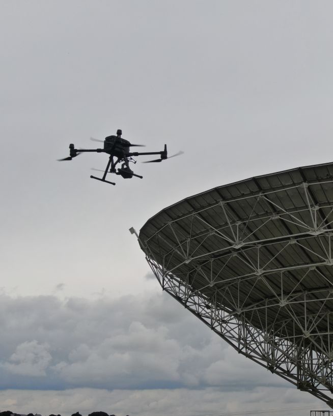
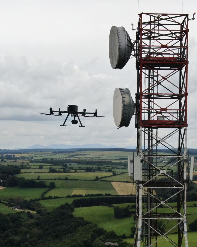
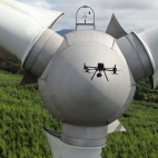
We use drones to inspect industrial, agricultural and residential assets. In an inspection, our engineers can assess the safety and performance of buildings, structures and objects. Find out more...
Drone surveys
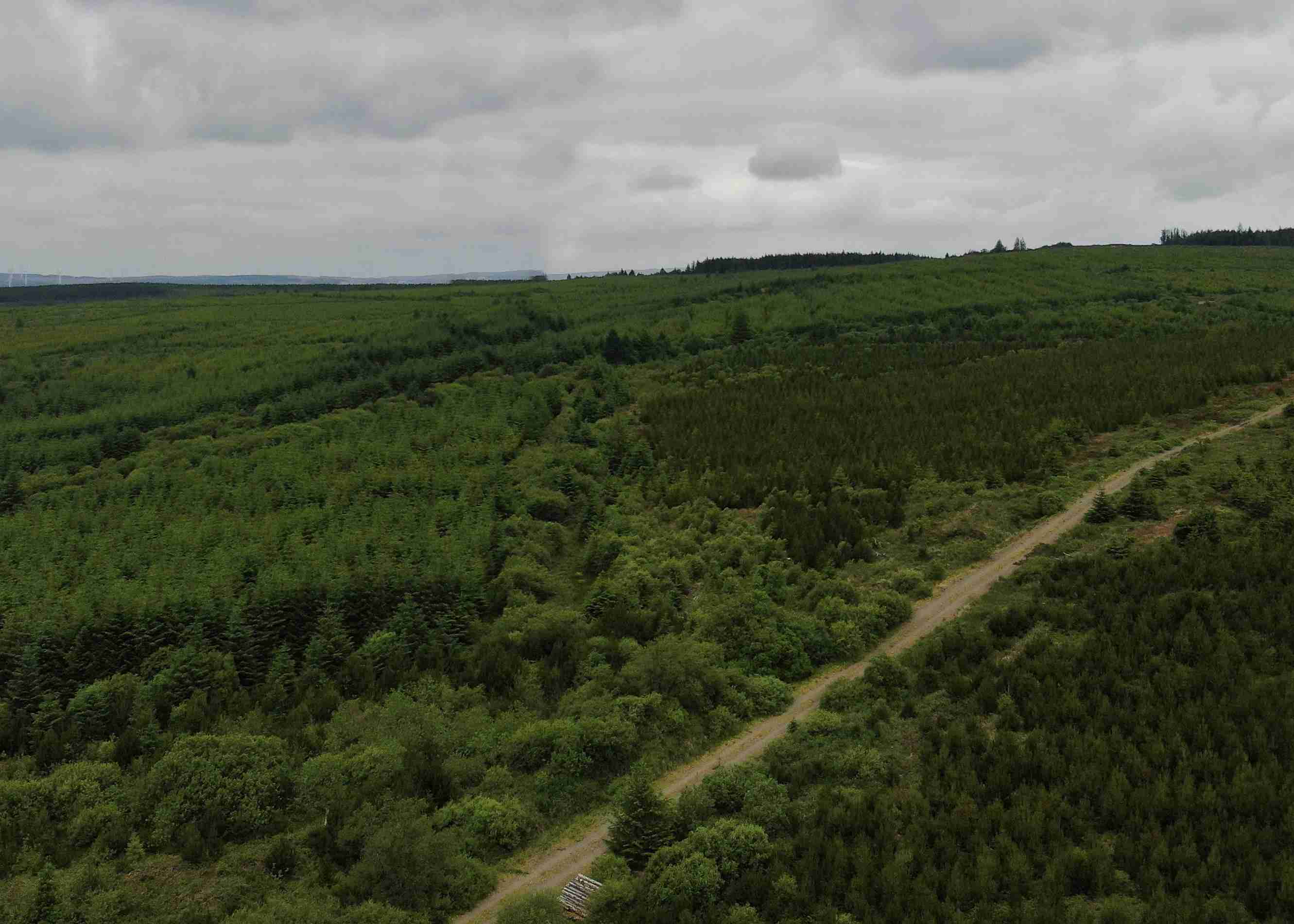
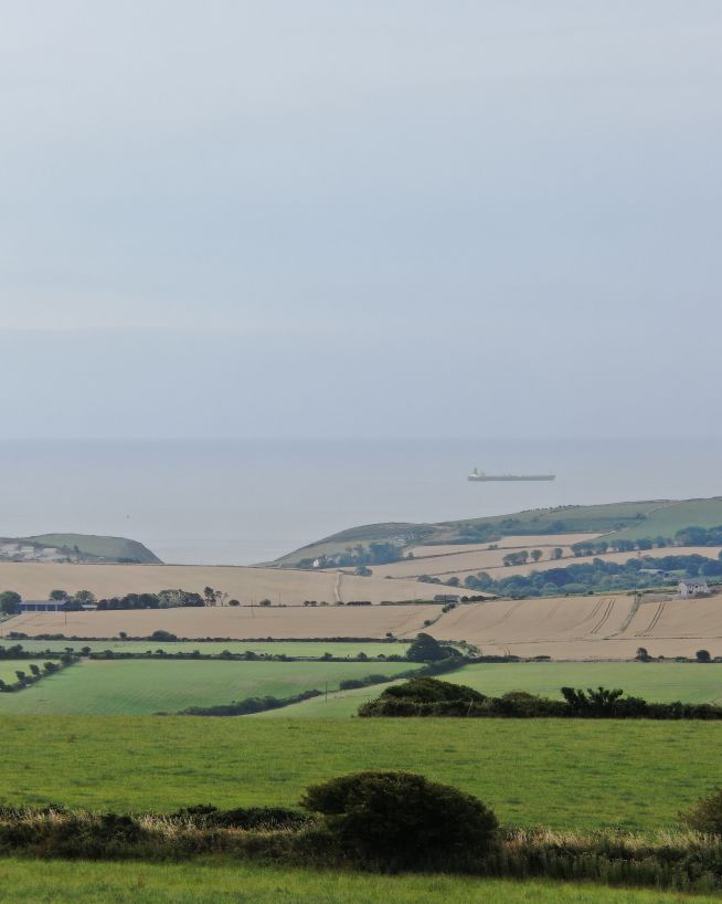
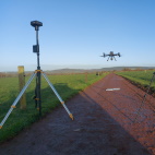
We use drones to survey land and terrain. In a survey, our engineers can measure, model, map or digitise your spaces and objects in 2D or 3D. Find out more...
- Case Studies
- Let's Talk
- Services
Drone Inspections
- Our drone inspections
- Drone photography
- Thermal imaging
- Confined space inspections
- Underwater Inspections
Drone Surveys
- Our drone surveys
- LIDAR surveys
- 3D mapping and digital twins
- Stockpile volume measurement
- Multispectral Imaging
- Cut and fill
Consultancy
Drone inspections
We use drones to inspect industrial, agricultural and residential assets. In an inspection, our engineers can assess the safety and performance of buildings, structures and objects. Find out more...
Drone surveys
We use drones to survey land and terrain. In a survey, our engineers can measure, model, map or digitise your spaces and objects in 2D or 3D. Find out more...
- Case Studies
- Let's Talk
- Services