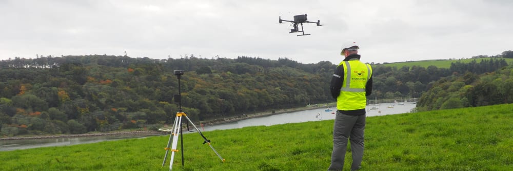

















A drone operator flying a drone during a survey mission

Drone surveys

Topographic mapping, LiDAR, photogrammetry, farm mapping, forestry, and volume measurement. Every survey is conducted by a qualified engineer and delivered with a full accuracy statement.

Let's talk

The right method for the land you are working on.

A drone survey turns a site into measurable, usable data — a georeferenced orthomosaic you can measure from, a digital terrain model, a point cloud, contour plans, and volume calculations. Whatever the output, every survey is delivered with an accuracy statement so you know how much confidence to place in the figures.

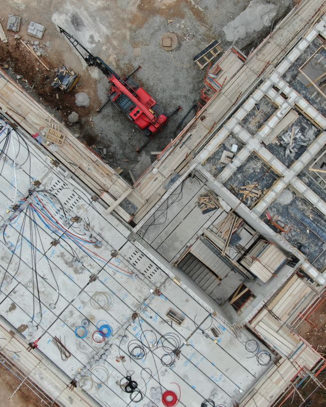
The method matters too. On hardscape — roads, buildings, construction sites — photogrammetry typically achieves around 2 cm accuracy with ground control. On vegetated land, only LiDAR recovers the ground beneath the canopy. An engineer scopes the right approach before a drone leaves the ground.

  • Looking for an asset inspection instead?

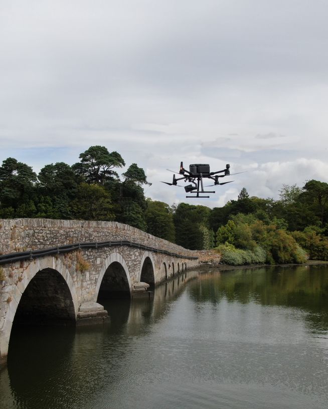
    A survey measures and maps land or a structure. If you need to find out whether something you own is damaged, corroding, leaking, or otherwise at fault, that is an inspection — a different service. Inspections are browsed by asset type, from roofs and bridges to tanks and chimneys.

    Browse asset inspections
  • What is a drone survey?

    A drone survey is the measurement and mapping of land or a structure from the air. A sensor mounted on the drone — a camera for photogrammetry, or a laser for LiDAR — captures the site, and that data is processed into maps, models, and measurements you can work from.

    Founder Bob Foley's explanation of what a drone survey is
  • Do I need LiDAR or photogrammetry?

    It depends on what is on the land. Hardscape — roads, buildings, gravel — suits photogrammetry, which achieves around 2 cm accuracy with ground control. Vegetated land needs LiDAR, because only LiDAR penetrates the canopy and returns the true ground surface beneath.

    More about LiDAR surveys More about photogrammetry surveys
  • How accurate is a drone survey?

    On hardscape with ground control points, photogrammetry typically achieves around 2 cm accuracy — survey-grade for engineering and planning. Every survey is delivered with a documented accuracy statement, so you know exactly what the figures mean.

    More about drone survey accuracy
  • Who carries out the survey?

    A qualified engineer, not just a pilot. The aircraft captures the data; the engineering judgement is what turns it into a map or model you can act on.

    More about our engineering team

Trusted by survey, engineering and land management teams

Transport Infrastructure Ireland
ESB
EirGrid
Irish Water
Irish Rail
Land Development Agency
Teagasc
Bord na Mona
IKEA
Aldi
Kingspan
Liebherr
Arup
Aramark
Thermo Fisher Scientific
BASF
Danone
Dachser

What a drone survey delivers

Georeferenced orthomosaic

A precisely stitched overhead image with GPS coordinates embedded. Used for planning submissions, CAD overlays, site management, and change detection between survey dates.

Digital Elevation & Surface Models

A DEM captures the bare ground surface (with LiDAR on vegetated land); a DSM captures everything above it — buildings, vegetation, and structures. Both are standard outputs for engineering and planning.

3D point cloud

A dense set of GPS-tagged measurement points covering the full site — the foundation for 3D models, structural measurement, and volume calculations.

Contour plans

Generated directly from the elevation model and exported for use in CAD or GIS software. Available at any specified contour interval.

Volume calculations

Stockpile inventory, cut/fill earthworks tracking, and material estimates — calculated from the photogrammetric or LiDAR model to survey-grade accuracy.

Survey report with accuracy statement

Every survey is delivered with documented accuracy so the data can be used with confidence for engineering and planning decisions.

Two main survey methods

Not sure which you need? The right choice depends on what is currently covering your land. Here is how to find the best tool for your site.

Penetrates vegetation

LiDAR surveys

Best for vegetated and complex terrain

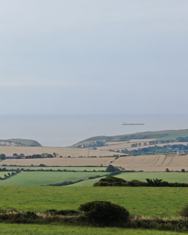
Uses laser pulses to penetrate vegetation and find the true bare-earth ground beneath. Photogrammetry produces a point cloud too, but it cannot see through vegetation.

Ideal for

  • Woodland and forests
  • Overgrown fields
  • Flood plain analysis
  • Drainage design
Explore LiDAR solutions
High visual detail

Photogrammetry

Best for hardscape and construction

Stitches together hundreds of high-resolution photos to create highly accurate 3D models and maps — around 2 cm accuracy with ground control, and at lower cost than LiDAR on hardscape.

Ideal for

  • Roads and buildings
  • Construction sites
  • Earthworks (cut and fill)
  • Bare fields
Explore photogrammetry solutions

The quick test: what covers your site?

If you have long grass, crops, bushes, or trees covering the ground you need to measure, you almost certainly need LiDAR. If it is mostly bare dirt, concrete, tarmac, or very short grass, Photogrammetry is usually sufficient.

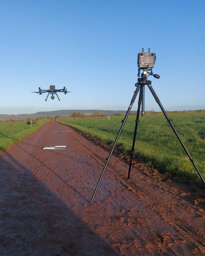
Whichever method applies, survey-grade results need ground control points (GCPs), fixed points on the ground surveyed to a known position. RTK (real-time kinematic) GPS alone gives a broad overview; GCPs are what allow the data to be taken to planning, and setting them up takes three to five times as long as the flight.

Skip the technical details

Just call us, and we'll help you.

Where drone surveys are used

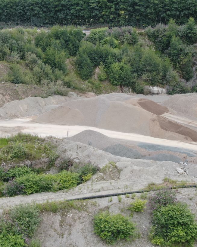
Drone surveys are commissioned across construction, civil engineering, agriculture, extractive industries, energy, and coastal and marine environments. Any project requiring accurate spatial data — for planning, design, tendering, monitoring, or compliance — is a candidate.

How does it work?

Reach out and tell us your idea

We take emails, phone calls, messages, everything! If you are unsure of what's possible we are happy to advise, the most important thing is to get in touch. We'll be happy to answer any questions you may have.

Start at the end

With drones, it's best to begin where you want to end up. What sort of deliverable would you like when it's all finished? If you are not sure then we can advise. We can look at what you would like and work backwards from there.

Scope of work and set a price

Once we have agreed on what is to be done, the scope of work is set and a price is agreed upon. We feel it is vital that everyone knows what they are getting and what they are paying for it. There should be no confusion.

Permits and other paperwork

Once we have confirmation you are happy to proceed, we start the ball rolling. We organise things like RAMS, site permits, Air Traffic Control clearance and much more. Basically, we generate everything needed to turn up on-site with all our ducks in a row.

Field Operations

Next, we do the work on site. We have the gear, we have the know-how, so now it's time to get the job done. This can sometimes be affected by the weather, but for the most part, we get the job done on the date specified.

Post Processing

This is where we take what we generated in the field and turn it into a final deliverable for you. This can be anything from the raw data itself, to fully processed Orthophotos, condition reports, CAD line work or thermal imagery.

Handover

The final step is the handover of the deliverables. We tend to use a cloud-based service, so you can access your data anywhere. We can also tie into your existing systems if that is more convenient.

Get a quote
We are Engineers with Drones

Why choose us?

Bob Foley - Owner and Director at Engineers with Drones
Cibelle Leao - Business Administrator at Engineers with Drones
Dean Hauska - Drone Operator at Engineers with Drones
Finbar Dunne - Drone Operator at Engineers with Drones
Sarah Edgely - Drone Operator at Engineers with Drones
Stephen O'Keeffe - Owner and Director at Engineers with Drones
Ireland-based, all-island coverage

Based in Cork, we deploy across the entire island of Ireland — Republic and Northern Ireland. No subcontractors, no hand-offs. One team, fully equipped and ready with all the correct permits.

Qualified engineers, not just pilots

Every operator is a qualified engineer who can interpret what the drone sees. You receive expert analysis and actionable findings, not just imagery.

IAA certified & fully insured

Ireland's first EASA Specific Category authorised drone company. €6.5m public liability insurance as standard, approved to operate in restricted zones nationwide.

No downtime, no disruption

No scaffolding, no rope access, no shutdowns. Assets inspected while in service — most jobs completed in hours, not days.

Bespoke approach for every job

We design the right method for your specific asset. If a simpler solution would work better, we'll tell you — even if it doesn't involve drones.

Actionable reports, ready to use

Professional condition reports with GPS-tagged imagery and engineer-grade assessment. Formatted for your insurer, regulator, or maintenance team — no interpretation required.

How can we help?