Construction progress monitoring
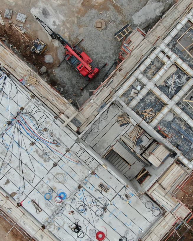
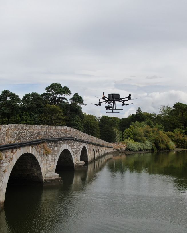
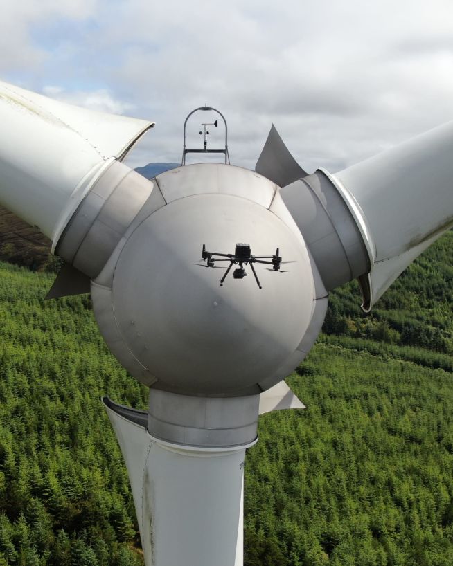
A repeat drone programme for large construction projects. The site is captured on a schedule agreed with our client, and everybody on the team can look at the current state of play - as of the moment it was captured.
A repeat drone programme for large construction projects. The site is captured on a schedule agreed with our client, and everybody on the team can look at the current state of play - as of the moment it was captured.
What you get isn't a once-off set of photographs. It's a series that lines up from one capture to the next, so it can be read week to week - and from the first week to the last.
That record can be used by everyone on the team. On a housing estate that could be 30 to 50 people: the site managers, architects, foremen, engineers and civil engineering contractors for example. Each stakeholder can open the most recent capture and see the current state of play for themselves, whether the work is progressing as planned, and where the job might be falling behind. Anyone else the project gives access to can open the same capture and verify it for themselves.
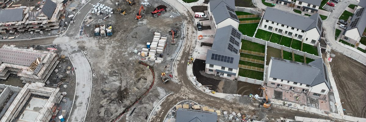
Construction progress monitoring suits anybody building something large: a housing estate, industrial site, airport, motorway, wind farm or a solar farm. A building on a footprint of fifty metres by fifty metres won't benefit massively, the projects that gain are the wide, distributed sites occupying a large amount of land.
What size of project justifies construction progress monitoring?
The deciding factor is footprint, not contract value. A site that covers a large area, or is spread across several locations, gains the most. Drone flying the whole of it from above is quick, and the record you end up with is complete. A small building on a tight footprint would likely be better served by a conventional inspection.
More about drone services for construction and real estateWho on a project actually uses the data?
On a housing scheme it's typically the site managers, the foremen, the engineers, the architects and the civil engineering contractors, along with the client. Each of those stakeholders will ask a different question of the same capture. Are the earthworks complete? Are the foundations done? Has this unit started on the walls? Are the drains where the drawing says they are?
Talk to us about your projectHow often is a site captured?
It's set per site, and it can differ within the same programme. Some sites are captured every single weekday, others once a week, twice a week or once a month, and a once-off capture can be added whenever something needs to be recorded. The frequency tends to follow the pace of the works and how often the project reports.
Talk to us about capturing your siteCan the capture show whether the works match the design?
Yes. You can bring your drawings in over the capture: your CAD drawings, civil drawings and earthworks plans. That shows whether the things that are supposed to be in a certain place - are in that place. On a solar farm or a wind farm it's a direct check that the design matches what has actually been put in. An orthophoto shows you very clearly where the panels line up exactly with the drawing. If they don't line up, you can look into it right away.
More about drone photogrammetry and 3D modellingIs the same data used for anything else?
Yes. An orthophoto isn't only a visual representation, it's a technical one, because producing it means you've also generated a photogrammetric dataset. That means cut and fill analysis or stockpile volume measurement can be done on the same data, so earthworks progress and stockpile quantities don't need a separate survey.








Just call us, and we'll help you.
A georeferenced image of the whole site for each capture date. It reads as a photograph, but you can measure on it.
A square still image on every visit, taken from the same position, the same angle and the same orientation, flown to within about thirty centimetres each time.
A 360 camera walked through the buildings, so you're looking internally as well as externally. First fix or second fix, ceilings in, snags closed out or not.
A camera on a pole or on the building next door, solar powered and independent of site power, taking an image every hour and downloading it remotely.
Your drawings, CAD files, civil drawings and earthworks plans brought in over the capture, so you can see whether what was supposed to be in a certain place is in that place.
Sometimes requested, not always required. Video is effective for marketing and communications, where moving footage can carry the scale and activity of a site better than a set of stills.
A programme starts with a baseline capture of the site as it stands, then keeps going at whatever interval the project needs. Every visit follows the same flight plan and every dataset is processed the same way, and that's what makes the series comparable. A capture from March can be set against one from June without anyone having to allow for a different altitude or a different angle.
Does the drone fly the same path every visit?
It can be programmed to return to within about thirty centimetres of the same spot, in the same orientation and at the same angle, every single time. That's what makes a sequence of stills usable as a time lapse, and what lets two visits be compared without correction.
More about repeatable drone survey methodsDo the works have to stop while the site is captured?
Normally not. The capture is flown above the site, so excavation, groundworks and the trades can carry on underneath while it happens. Access, crane positions and any restricted areas are agreed with the site team before the programme begins.
More about how we plan and fly safelyHow is one capture compared with the last?
Because the flight plan and the processing are consistent, two dates can be put side by side or overlaid directly. Where a measured comparison is needed, the same photogrammetric data supports a surface-to-surface volume calculation between any two capture dates.
More about cut and fill volume analysis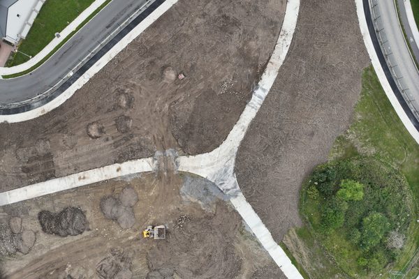
A housing scheme moves through a recognisable order. Earthworks first, then foundations, then walls, then roof, with footpaths, roads, drains and the grass following behind. A single capture shows where each unit has reached in that order, and where the job might have drifted from what was planned.
To most people a construction site looks like any other construction site. To an engineer's eye a top-down view is very direct: this unit is at this stage, that one is at that stage, and this one hasn't started, which means there's an issue coming down the line.
Can the capture show what stage each unit has reached?
Yes, and that's where the top-down view earns its keep. Units can be read against each other across a whole scheme in one image, rather than one at a time from ground level.
More about construction and real estate surveysCan it show whether works are where they should be?
With a drawing overlay, yes. Drains, foundations, service corridors and array layouts can all be checked against the design, and a discrepancy shows up as a visible misalignment rather than something found later by measurement.
More about our drone survey servicesCan it evidence a delay?
A dated series does that by itself. If the programme said a thing would be finished by a certain date, the capture from that date shows whether it was.
See how we have recorded progress on other projects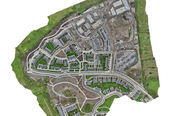
Progress monitoring has a second audience beyond the team on site. On a large project there will be other stakeholders - funders, clients, insurers and, in some cases, public bodies. All of them want to know what is actually happening on the site, and a dated record answers that question for each of them.
A dated capture lets every one of them see the same evidence and check it for themselves. On a wind farm halfway through construction, someone can open the most recent capture and see that three turbines have no foundation in place yet. You may not know what a wind farm should look like at that stage, but the capture lets you ask the question, and there's always someone on the project who can answer it.
Who can be given access to the capture?
Whoever the project decides. The data is delivered as files, and where the project runs a common data environment or a photogrammetry platform it can be hosted, so named stakeholders open the latest capture without being sent anything.
Contact us about construction progress monitoringDoes this matter to funders and insurers?
Insurance does like to see it, but it usually falls under the broad stakeholder category rather than being a requirement in its own right. Where a project carries insurance or external funding, a dated record gives those parties something to check against, and gives the project a factual account of the site at any point in the programme.
More about drone work for insuranceIs the record useful after the project finishes?
The series becomes an as-built record of how the site was constructed, which is why it's worth keeping. It documents what was in the ground at each stage, which isn't recoverable once the next layer goes on top.
Talk to us about a longer term monitoring arrangement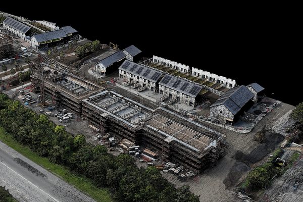
Managers, engineers, architects and the client are looking at the same capture from the same date, so discussions are about the works rather than differing data sets.
A site walk records what someone chose to photograph. A capture records the whole footprint, including the areas nobody thought to check.
Because each visit can be flown to the same position and angle, consecutive captures sit directly over one another and can be compared without correction.
The capture is taken from above the working area, so no one has to move through live plant and excavation to record progress.
A dated series shows what was complete on each date, which turns a progress description into something that can be checked against the programme.
An orthophoto is a georeferenced product, so the same capture supports volume calculations and area checks.
Housing schemes, industrial and commercial sites, and linear or distributed work such as roads, airports, wind farms and solar farms. Civil projects in particular, road projects, now require some form of progress monitoring.
Tell us what you need to know and we'll design a programme around it. Frequency, deliverables and reporting format are set per site, because a greenfield site and a fit-out under way don't need the same record.
A typical programme delivers an orthophoto series, a repeatable still image sequence and 360 ground-level imagery through the buildings, with fixed time-lapse cameras where continuous coverage from one viewpoint is useful. Video can be added, and that's effective for marketing and communications rather than for measurement. Every site is scoped to its own deliverables list before the first capture is flown.
A georeferenced image of the full site for every capture date, supplied in formats compatible with CAD and GIS software.
A 360 camera walked through the buildings on every visit, so you can see first fix or second fix, ceilings, skirting and whether the snags have been closed out.
The same still images from the same positions on every visit, comparable across the whole programme and usable as a time lapse.
Continuous coverage from a single viewpoint, from a pole or a neighbouring building, with imagery downloaded remotely.
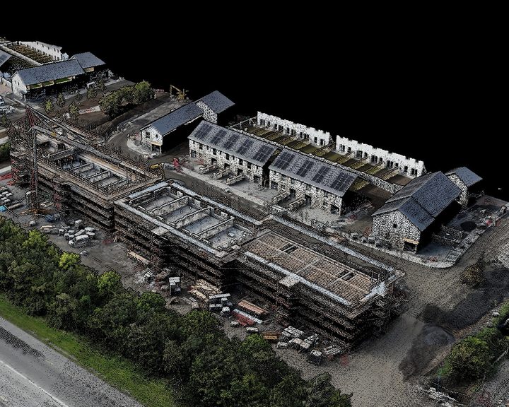
One of Ireland's largest construction firms had more sites than it could resource. Over 20 live sites, some captured every weekday, others once a month, each one risk-assessed and flown to a single specification.
Complex surveys and inspections require more than just a pilot. Our engineers can help you scope your requirements and indentify the right approach.