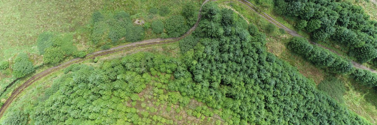
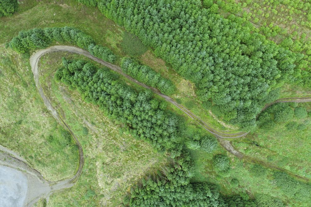
Aerial view of forestry and access tracks on the Greenbelt wind farm site in Clare

Wind turbine farm forestry

Mapping forestry on an active wind farm in Clare — with turbine exclusion zones, mountain access, and a point cloud deliverable.
Overview

The Job at a Glance

A large forestry company in Ireland, needed to measure the forestry growing between the turbines across a pre-existing wind farm in Clare. The site was on the side of a mountain and the turbines were tall, so the plan had to exclude turbine interaction zones and account for the access challenges of mountainous terrain. We delivered a consistent visual record and a point cloud of the whole site.

Wind farm in Clare

A large forestry site on a pre-existing wind farm, laid out on the side of a mountain with turbines up to 180 metres tip height.

Active turbines on site

The flight plan had to exclude interaction zones around every turbine to avoid blade strike risk.

Mountain-side logistics

Takeoff, landing, road access, and ground control were all planned around the uneven terrain.

Imagery and point cloud

Our client received both a consistent visual record and a point cloud from the same aerial workflow.

Background

Forestry on an active wind farm

We were approached by a large forestry company in Ireland, to measure forestry on a pre-existing wind farm in Clare. The site had been in service for some time and the forestry between the turbines was a mixture of cut sections, storm-damaged or wind-blown sections, and areas that were still growing normally.

The turbines were tall — around 160 to 180 metres tip height — and the site sat on the side of a mountain, so the flight planning had to take account of the turbine locations, the airspace restrictions, the terrain, and the places where we could safely take off and land. Our client sent us a map of what needed to be captured, and we worked through the site on the desktop before going to site.

Planning

Desktop planning before the flight

Before we went to site, we assessed the whole wind farm on the desktop. That meant looking at the map our client sent, checking the airspace restrictions, understanding what we were flying over, and working out the deliverable set they wanted from us.

We also planned the practical details — where we could take off and land from, where the road access was, and where we could place ground control. On a site like this, those details matter just as much as the flying itself.

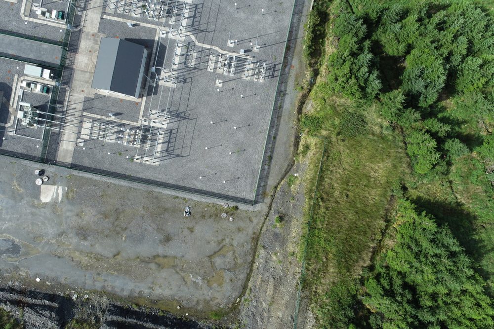
Substation infrastructure beside forestry on the Greenbelt wind farm site
Desktop planning has to account for both the forestry block and the infrastructure already on site.
Turbine Exclusion

Keeping clear of the turbines

Wind turbines are not the sort of thing you interact with closely using a drone — the risk of blade strike is exactly why the flight plan had to exclude certain areas. The turbines on this site were tall, so the site geometry and the exclusion zones had to be respected throughout the capture.

The drone was used here because it gave us a controlled way to work around that infrastructure while still capturing the forestry and the site context in detail.

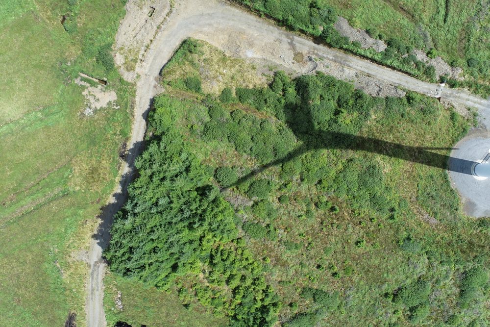
Wind turbine infrastructure beside access roads and forestry on the site
The turbine locations shaped the exclusion zones and the overall capture plan.
Site Conditions

Forestry in different states across the site

One of the reasons our client wanted the site measured was that the forestry was not uniform. Some areas had been cut, some had been wind damaged or storm damaged, and some was still growing normally. The aerial record made it possible to capture the whole picture consistently.

That consistency was the main point Bob made on the call: the drone was primarily an easy way to film the whole thing consistently, and it also gave the point cloud at the same time.

Mixed forestry and access tracks on the Greenbelt wind farm site
The site contained a mix of forestry states, access tracks, and open ground.
Comparative methodology

Why a drone was the practical choice

This was not a case where the drone was the only possible way to gather the information. It was the most practical way to film the whole site consistently, keep clear of the turbines, and capture a point cloud alongside the imagery.

Consistency
One coherent site survey vs piecemeal ground coverage

The drone gave us a consistent way to capture the whole site and keep the record aligned across the different forestry blocks and access routes.

Safety
Turbine exclusion zones built into the plan vs working too close to 160 to 180 metre turbines

We had to exclude certain areas to avoid interaction between the drone and the wind turbines, so the flight plan was built around safe standoff distances from the start.

Deliverables
Imagery plus point cloud vs visual records alone

The drone gave our client both the site film and the survey data they wanted, including a point cloud for further analysis.

Practical option Our method

Using a drone

A drone made it easier to keep the site record consistent, plan around the turbines, and capture both imagery and a point cloud in one workflow.

  • Safe standoff from the turbines The flight plan could build in exclusion zones around the turbines and keep the drone away from blade strike risk.
  • Consistent site capture across a mountain-side forestry block Desktop planning let us decide on takeoff, landing, ground control, and the safest route through the site before any flying began.
  • Point cloud delivered alongside the imagery The drone was used because it gave Greenbelt a consistent visual record and a point cloud in the same engagement.
  • Better control over the overall workflow We could assess the whole site on the desktop, account for airspace restrictions, and then work through the capture plan in a controlled way.
Project status Completed — site captured and mapped
Traditional approach Without a drone

Without a drone

The site could still be assessed on foot in places, but the same consistent record would have taken more effort to assemble across a large, uneven site around operating turbines.

  • More manual work across rough terrain A mountain-side site with forestry between turbines needs more time on the ground to cover the same area coherently.
  • Harder to keep the record consistent The drone was chosen because it was an easy way to film the whole thing consistently — that is harder to replicate with ad hoc ground coverage.
  • No point cloud from the same workflow Without the drone there would be a visual record, but not the same point cloud deliverable that came from the aerial capture.
  • Less straightforward turbine avoidance The flight planning explicitly excluded turbine interaction zones, which gave us a clear operational boundary that ground work would not provide.
Operational impact Slower, less consistent, more manual
Let's talk

Speak to an engineer about your project

Complex surveys and inspections require more than just a pilot. Our engineers can help you scope your requirements and indentify the right approach.

Talk to an engineer

+353 (0)21 202 8281

Quickest for technical scoping

Email your brief

info@engineerswithdrones.ie

Best for sending detailed specs

Next steps

Where to find out more

You can find out more about our forestry mapping services, our wind turbine inspection services, or contact us here to discuss your site.

Last Updated: