Efficient option Our method
Using a drone
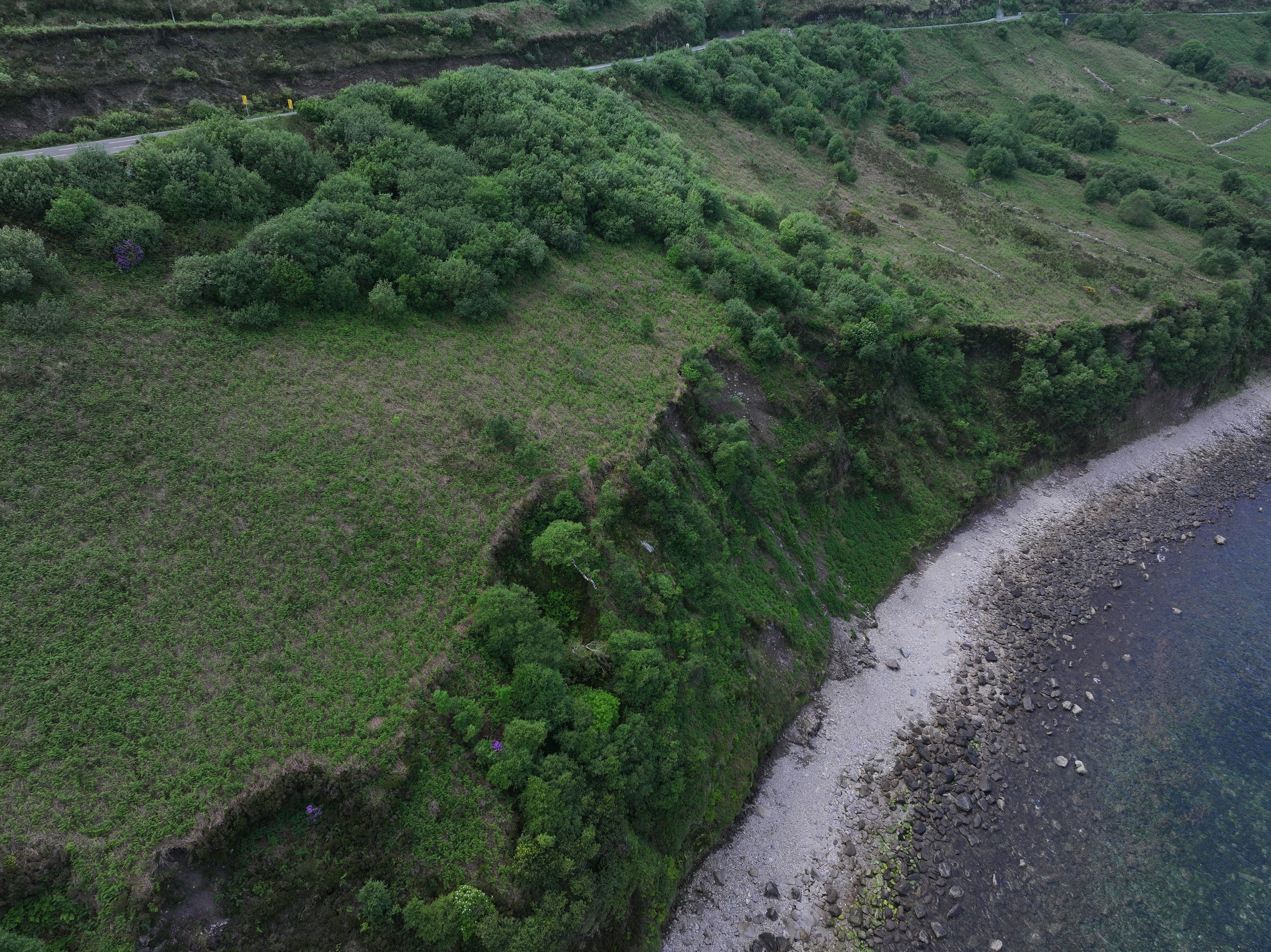
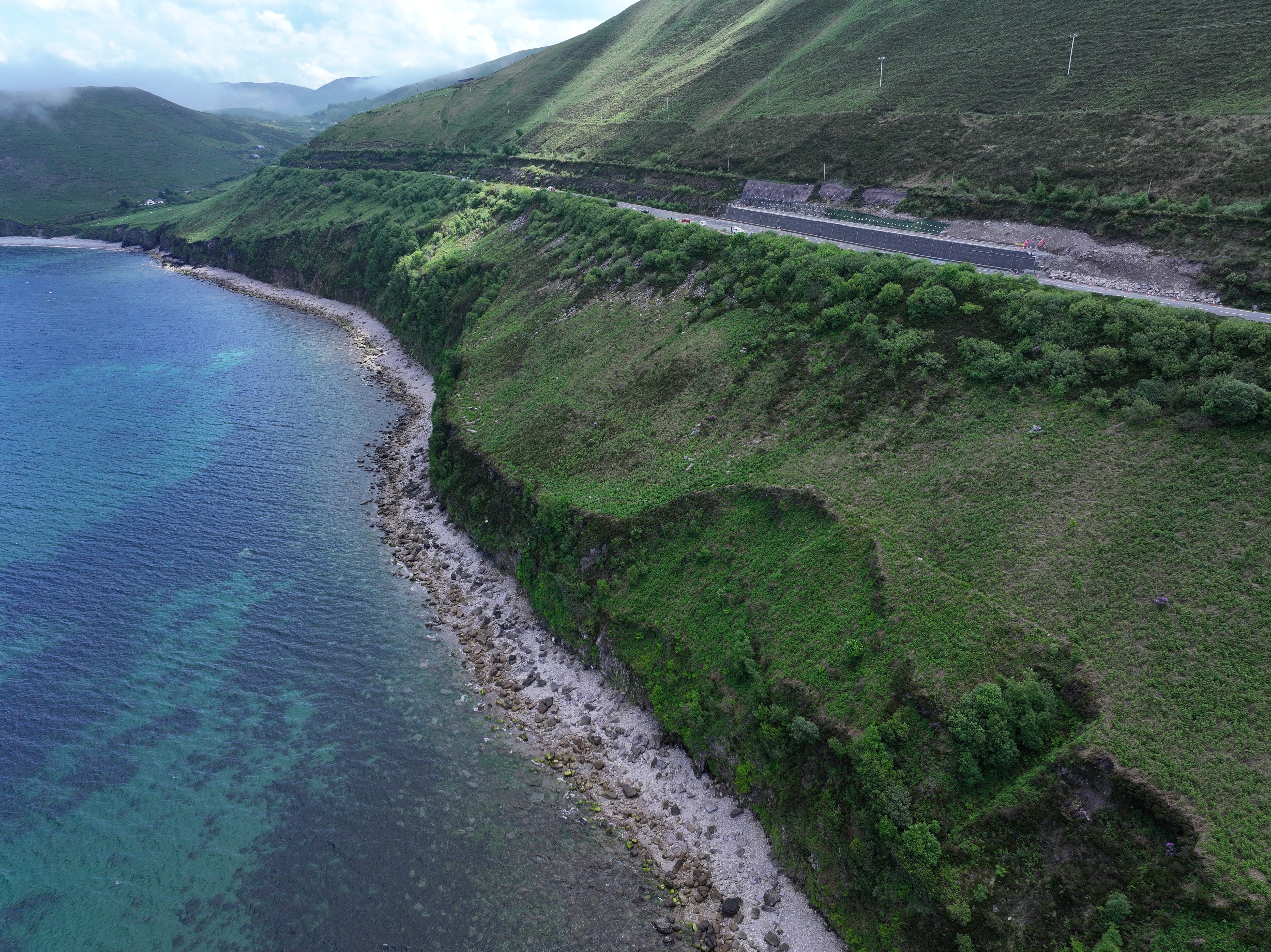
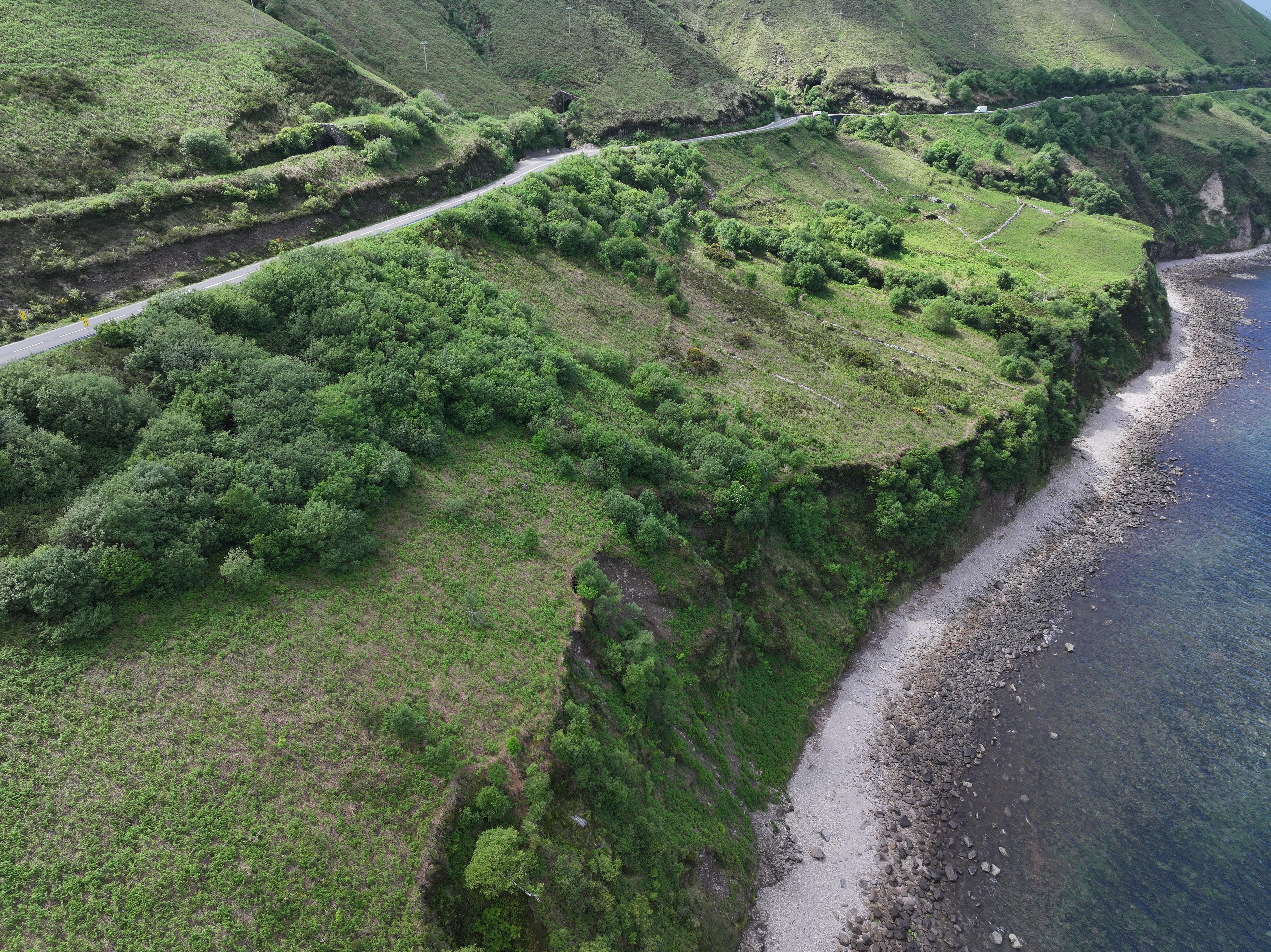
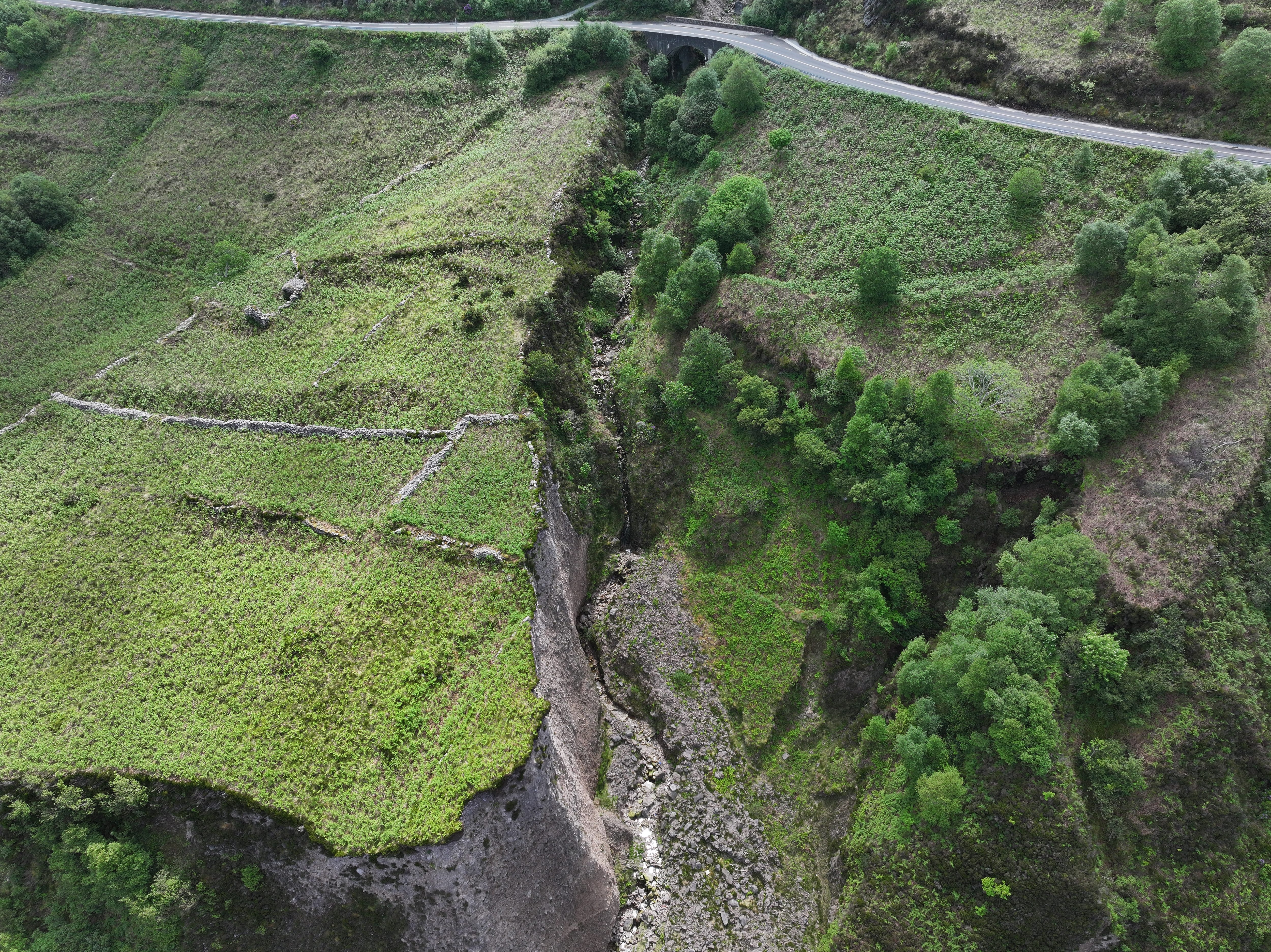
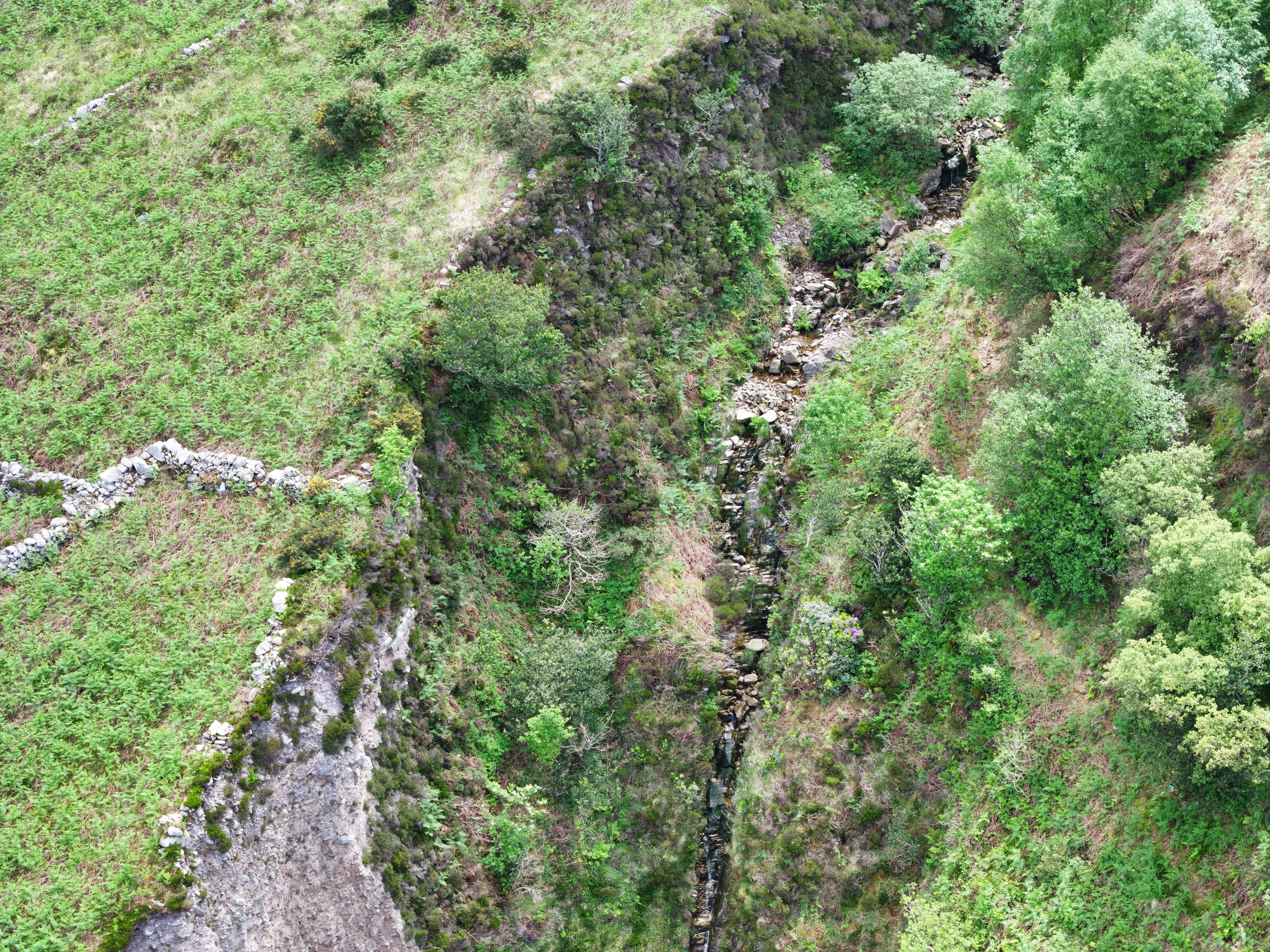
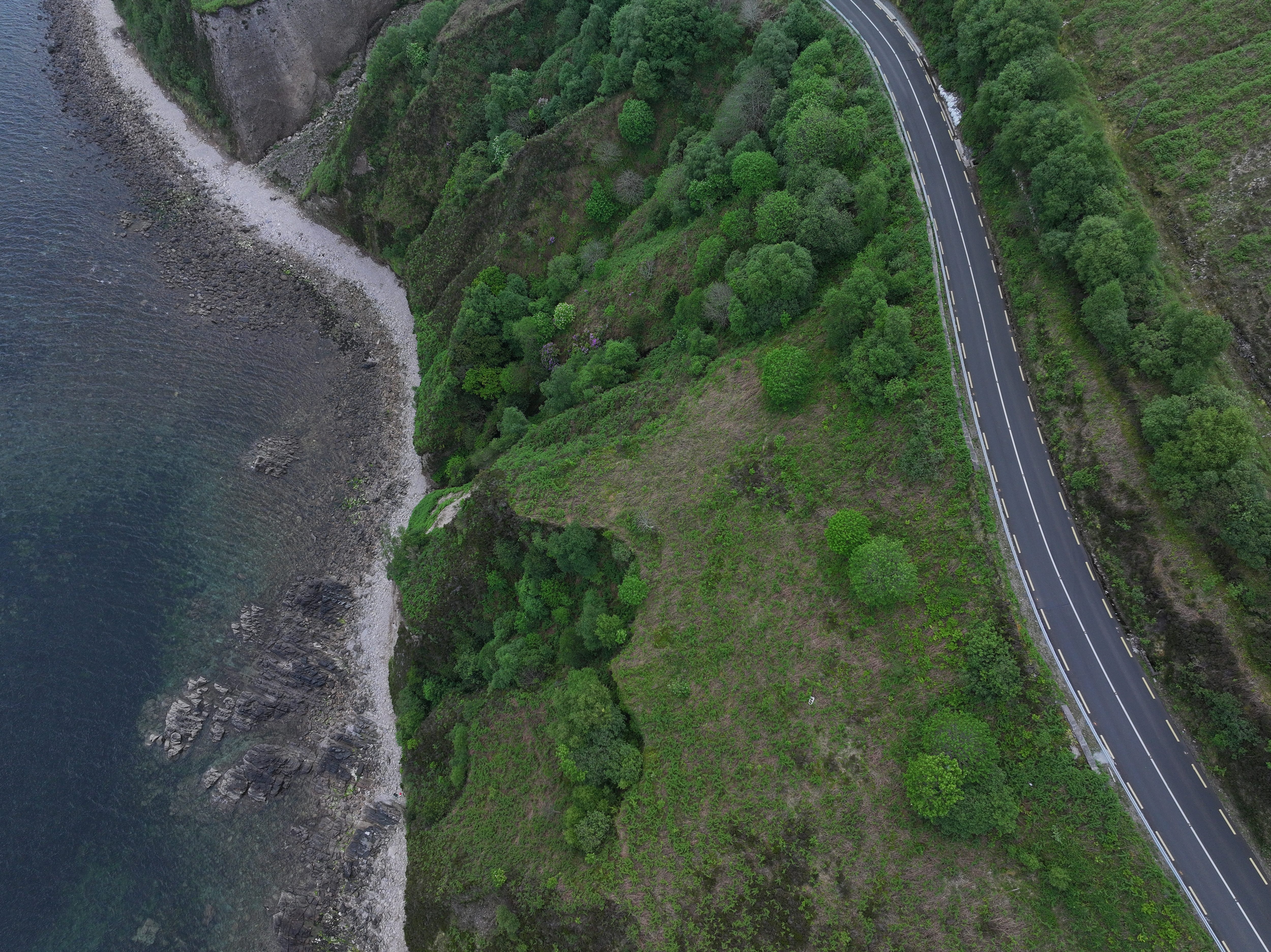
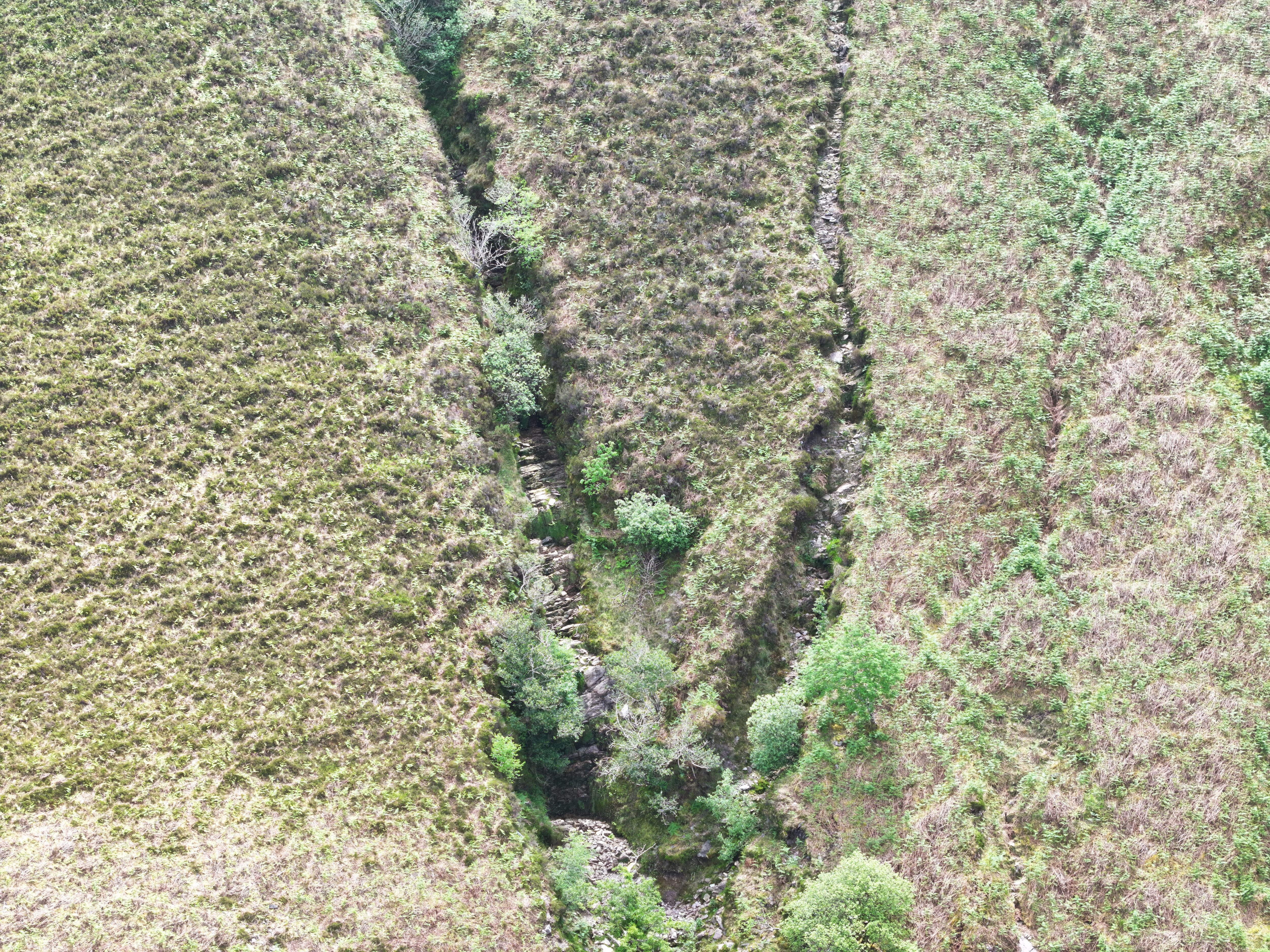
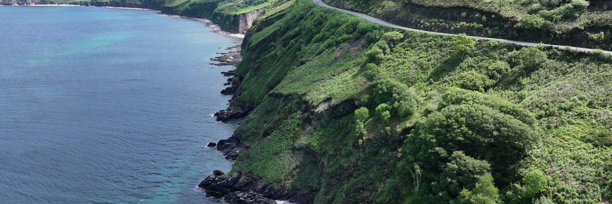
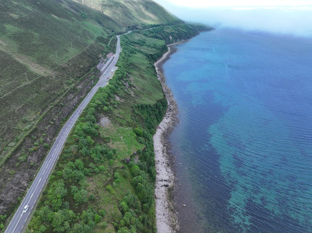
A safe, precise approach that delivered high-resolution imagery matching exactly what was captured in 2018.
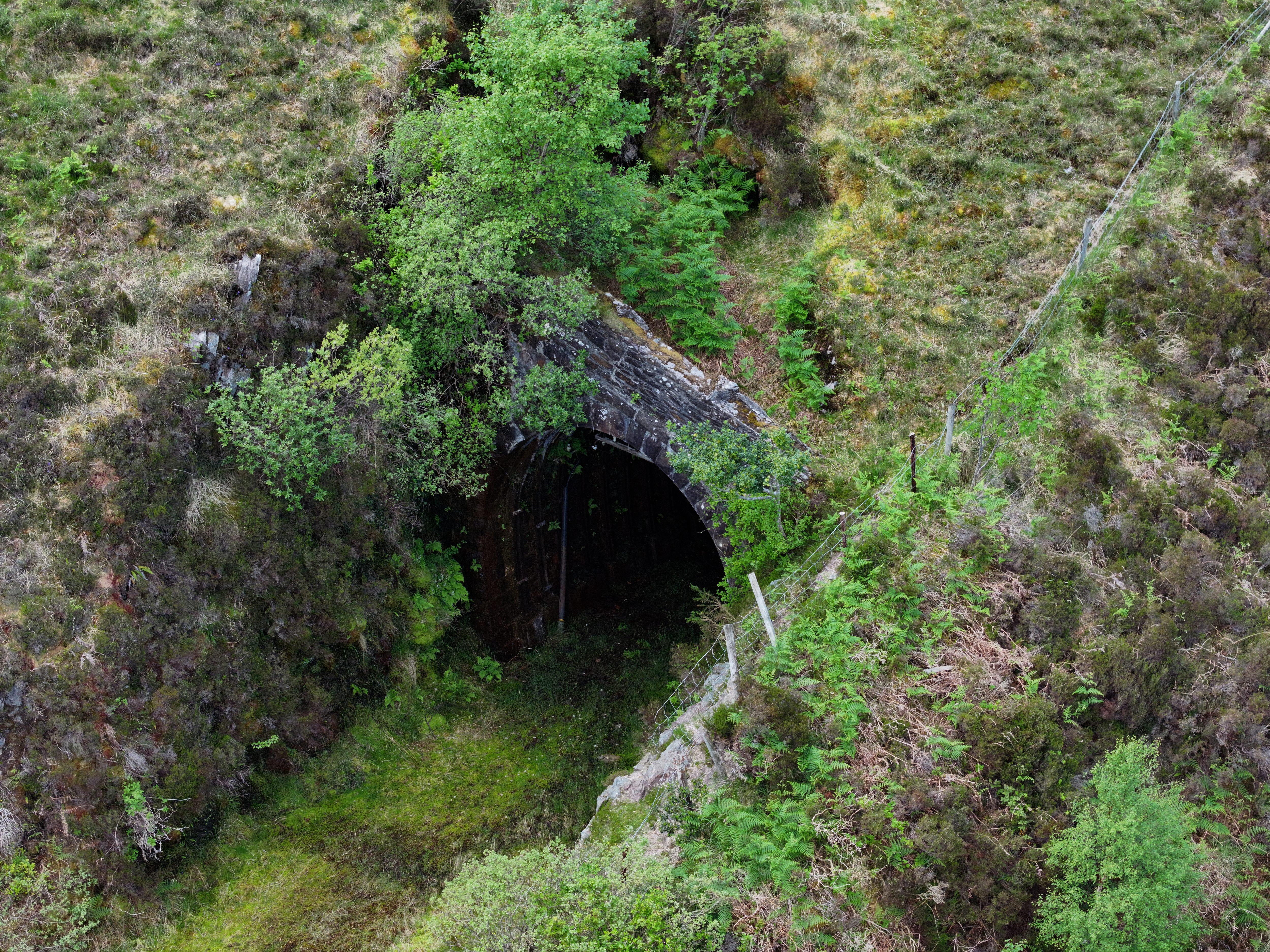
- Exact angle replication from previous survey The 2018 report was used to plan the capture. Every angle was matched precisely, so the client could see like-for-like change at every location.
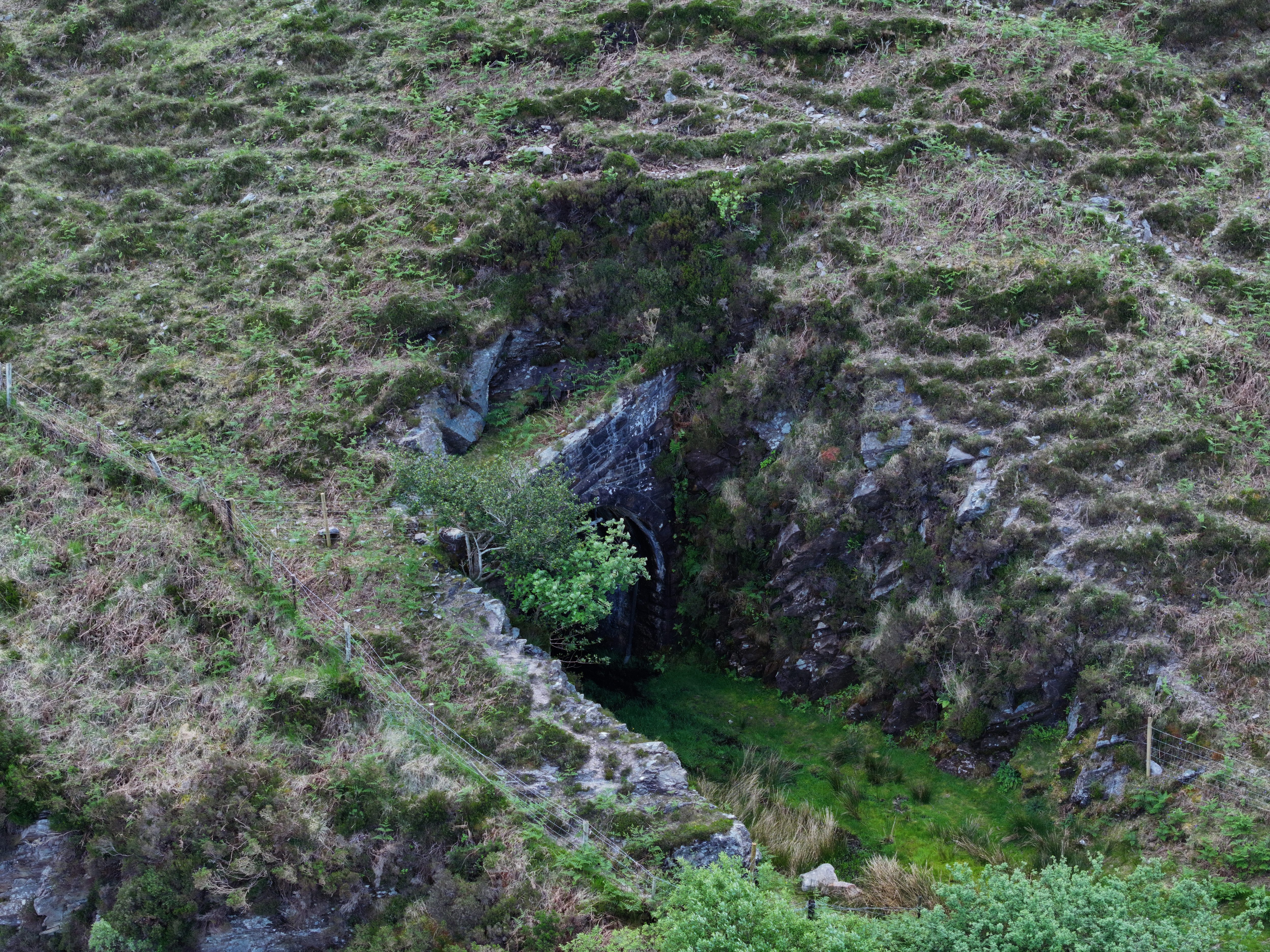
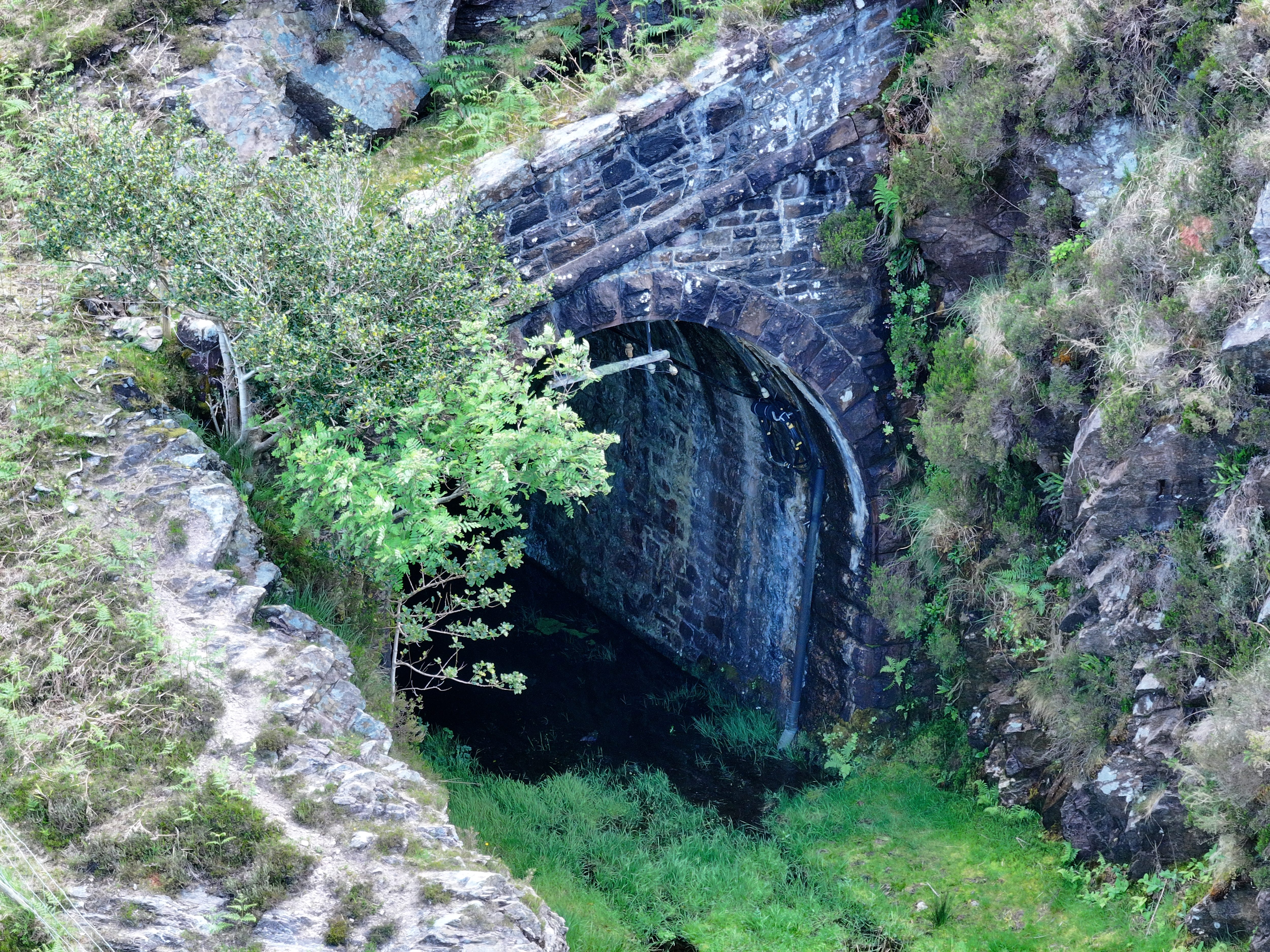
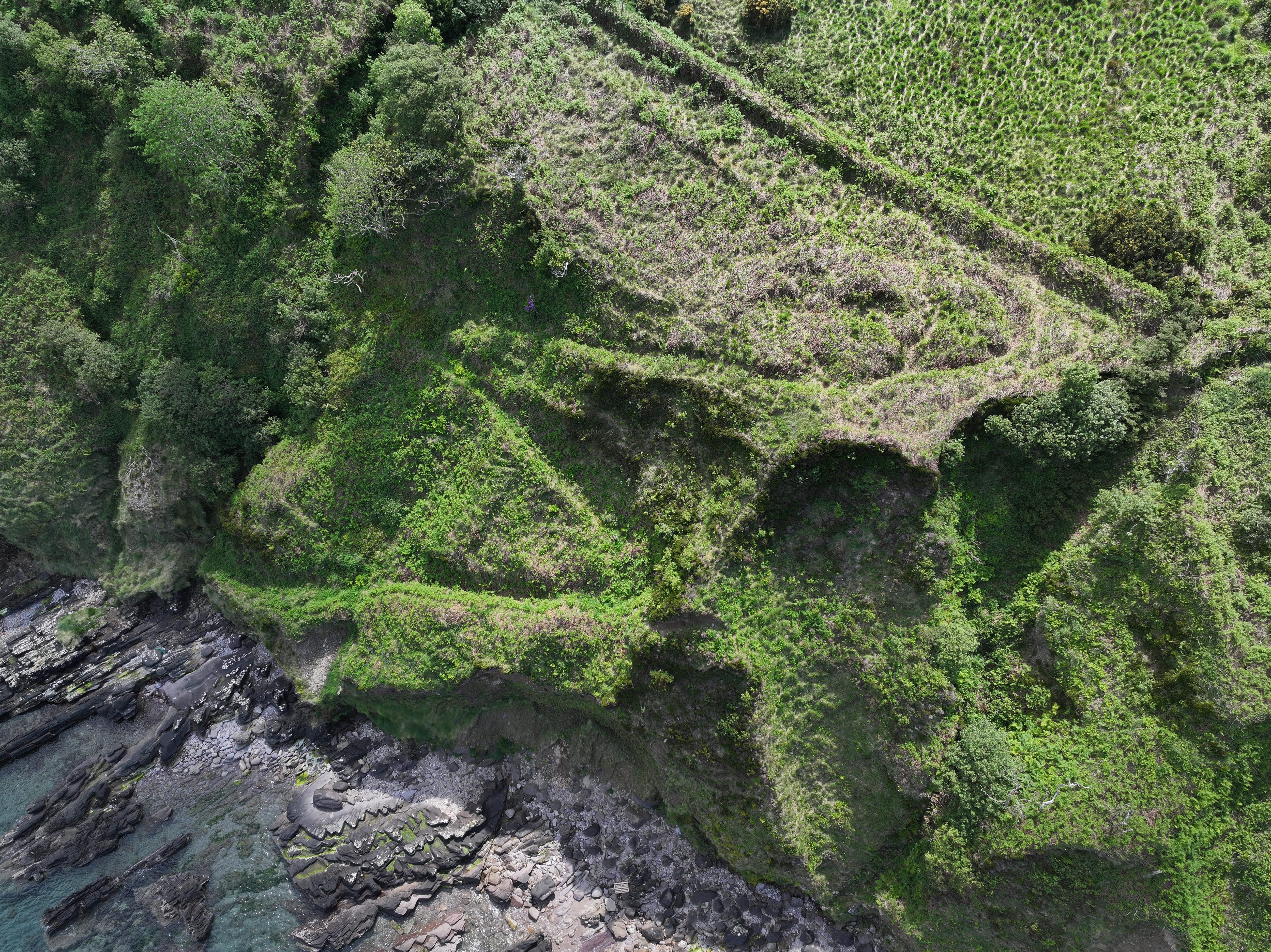
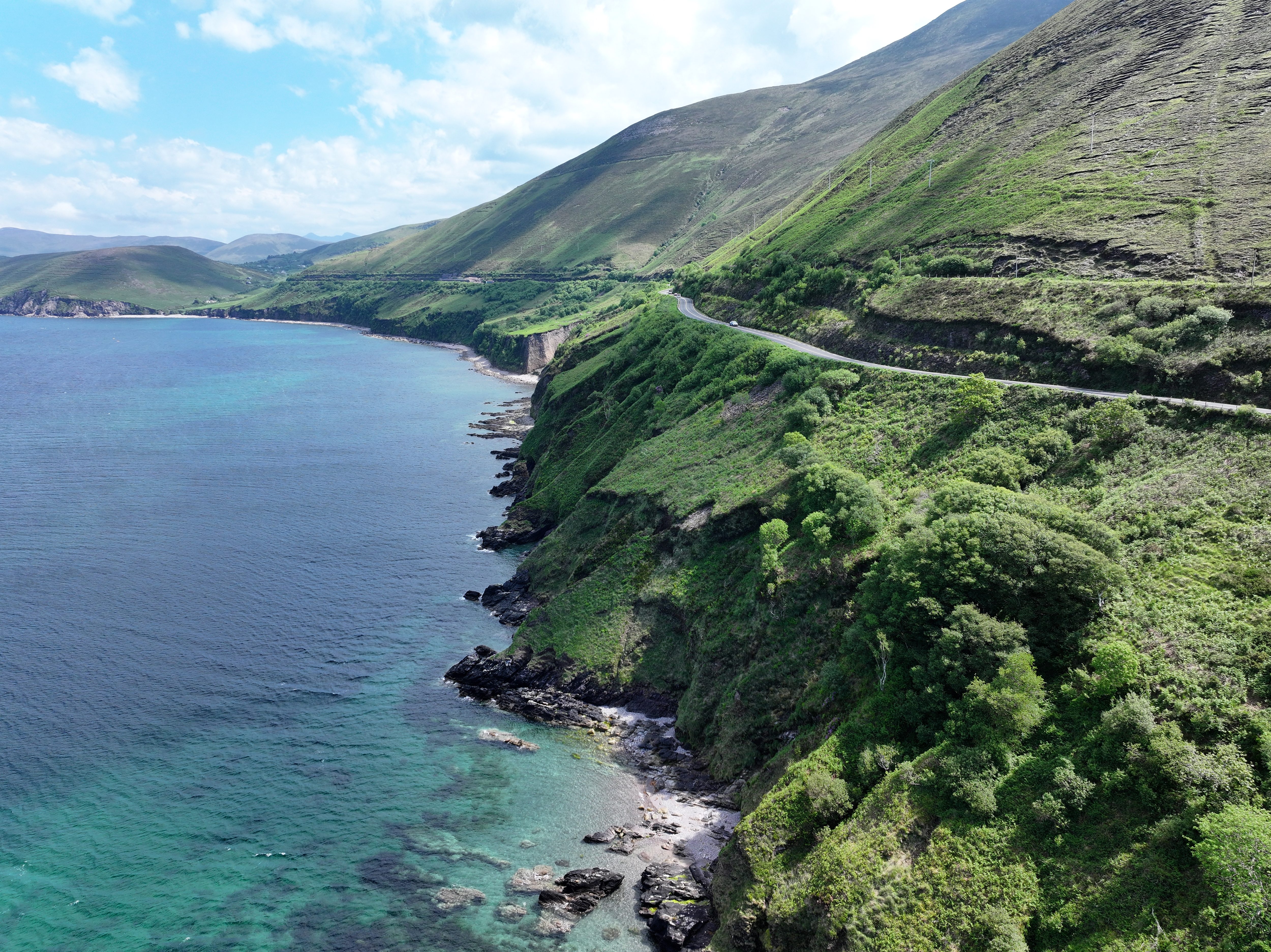
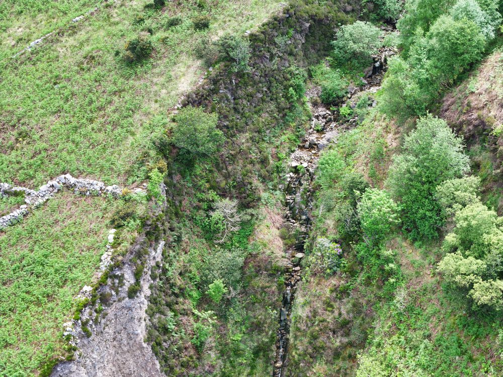
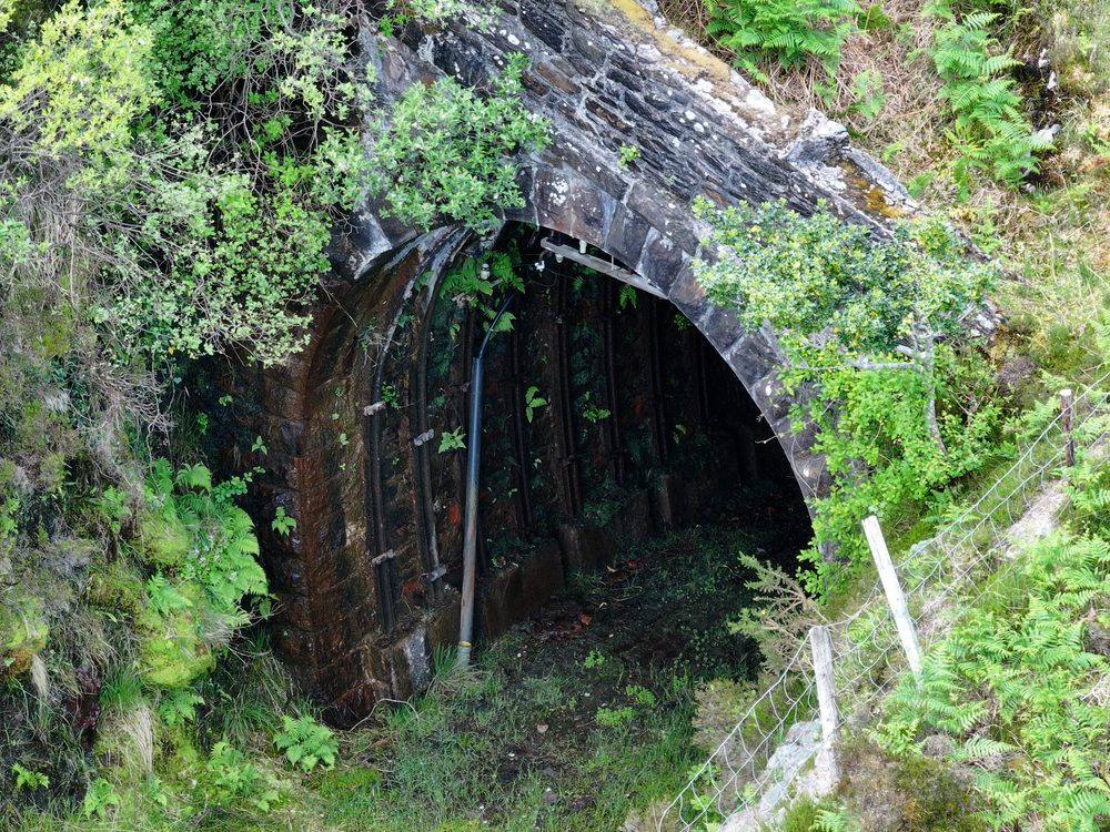
- Three-lens camera for wide and close-up capture The Mavic 3 Pro's wide lens captured overview imagery of the full 2km section, while the zoom lens provided detailed close-ups of specific defects and erosion features.
- 20MP+ high-resolution imagery Every image captured at 20 megapixels or higher, providing far more detail than the 2018 survey despite using a smaller drone.
- One day of fieldwork The entire 2km section was captured in a single day, including replication of all previous angles and additional coverage of newly identified defects.
- Organised by section with annotated defects The road was divided into sections. Images were assigned to their relevant section, and previously annotated defects were tagged with their original identifiers.