Aerial photo of scrubby farm land with a small shed and some old stone walls

Case Study: Agricultural land mapping

We used drone based LIDAR and Multispectral cameras to map large areas of agricultural land
Overview

The Job at a Glance

LiDAR and multispectral drone survey of more than 4,500 hectares of agricultural land across Ireland, measuring carbon sequestration potential per farm plot using machine-learning biomass estimation from high-density point cloud data.

4,500+ hectares across Ireland

Multiple farm plots surveyed nationally, covering a range of vegetation and land-use types including forest, scrubland, and arable ground.

Multi-site national campaign

Survey phased across multiple deployment days, with LiDAR point clouds captured at a minimum of 125 points per square metre.

LiDAR and multispectral sensors

High-density LiDAR combined with four-band multispectral (G/R/RE/NIR) imaging for biomass estimation and crop-health assessment.

Per-plot deliverable package

Point cloud, orthophoto, multispectral data, and mapped outputs, with machine-learning biomass estimates for each plot.

Overview

Carbon Sequestration on Irish farms with drone-based LiDAR

Carbon sequestration is an important process that plays a crucial role in mitigating climate change. One way to measure carbon sequestration is by using Light Detection and Ranging (LiDAR) technology, which can accurately calculate the amount of biomass present on a farm. In Ireland, agriculture is the largest contributor to greenhouse gas emissions, making it a prime location for studying carbon sequestration. This case study explores the use of drone-based LiDAR technology to map farms in Ireland and measure carbon sequestration on the farm.

Comparative methodology

Why they chose us

This project involved mapping more than 4,500 hectares across 47 farms and 154 individual plots distributed around Ireland. Drone-based LiDAR made that scale practical while still producing biomass-focused outputs for carbon sequestration assessment.

Coverage scale
4,500 hectares across 47 farms / 154 plots

Survey scope ranged from small 5-hectare plots to larger 400-hectare plots, with farms distributed across the country.

Capture approach
LiDAR + ML biomass model vs slower manual methods

High-density LiDAR data was used to build DEMs and 3D maps, then analysed with a trained machine-learning algorithm for biomass estimation.

Field logistics
Up to 10 sites/day across dispersed sub-plots

With sub-plots up to 30km from home farms, drone deployment enabled practical coverage despite fragmented geography.

Efficient option Our method

Using a drone

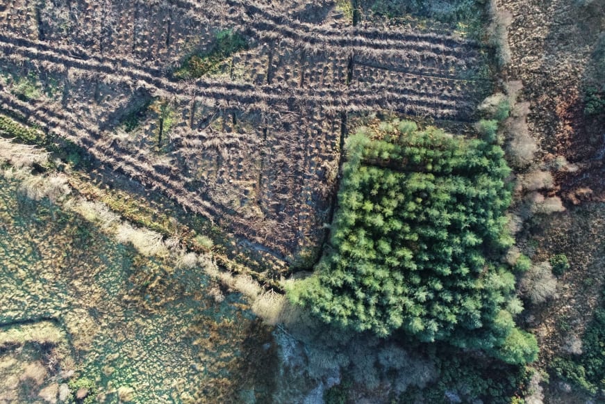
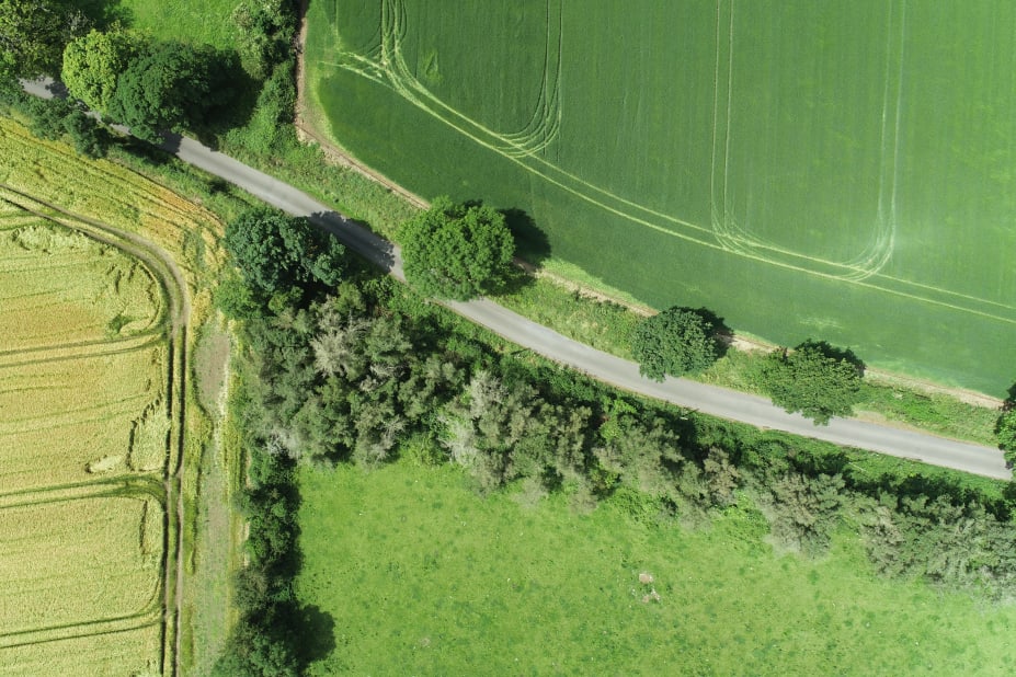
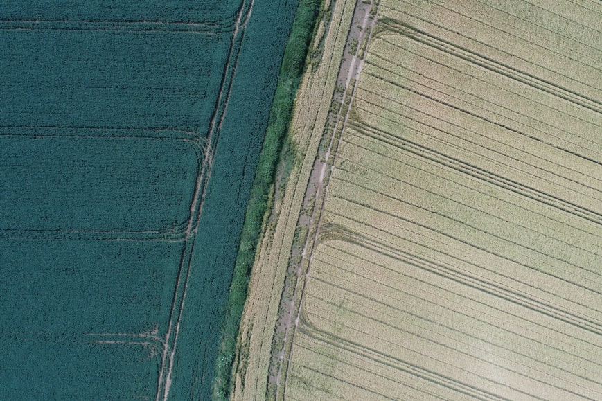
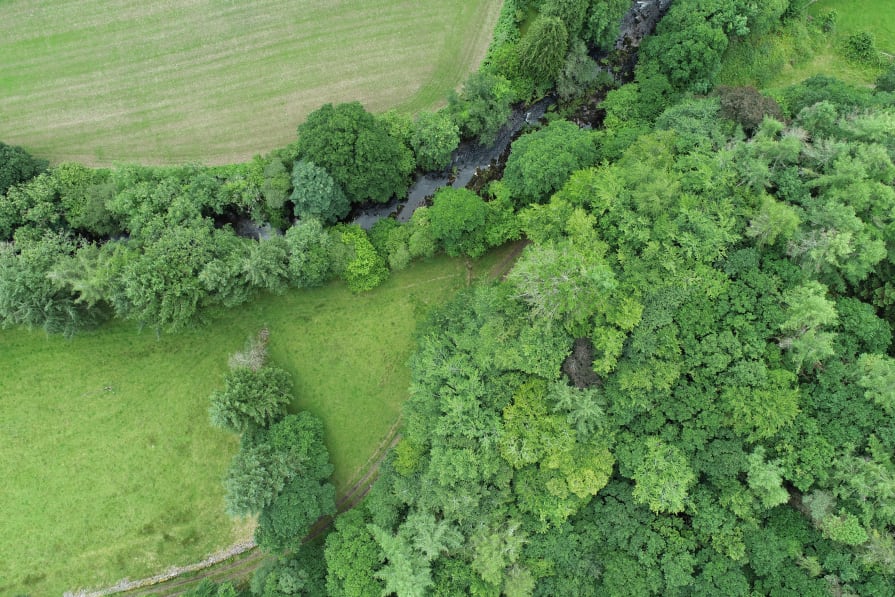
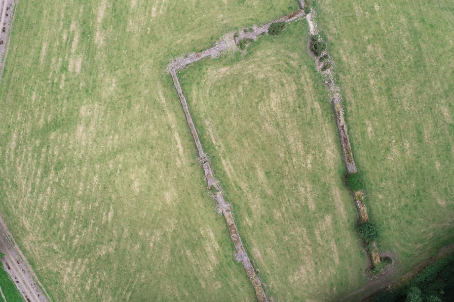
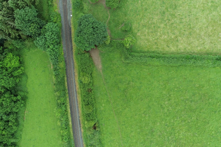
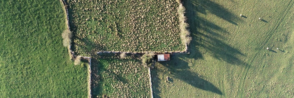
This is what the job looked like using drone technology.

  • Large-scale national mapping delivered The project covered more than 4,500 hectares across 47 farms and 154 individual plots.
  • High-density LiDAR data capture Drone LiDAR capture was processed into DEMs and detailed 3D maps including vegetation cover, topography, water bodies, and buildings.
  • Biomass estimation from mapped data A machine-learning model trained with ground measurements was used to estimate biomass and carbon sequestration potential on each farm.
  • Practical logistics across fragmented plots Even with sub-plots up to 30km apart, setup and deployment were managed with up to 10 take-off and landing sites per day.
Project status Mapped and analysed
Manned approach Traditional method

Without a drone

What the job would have looked like without drone technology.

  • More time and cost to map large areas The article notes traditional methods are time-consuming and expensive when mapping large areas of land.
  • Harder to cover distributed farm networks With 154 plots spread nationally and sub-plots far from home farms, field logistics would be significantly more difficult.
  • Slower path to biomass and carbon insight Producing detailed 3D map layers and farm-level biomass estimates would take longer without drone-based LiDAR capture.
Operational impact Higher effort and slower delivery
Methodology

Detailed 3D farm maps produced using LiDAR technology

To map farms and measure carbon sequestration, we used a drone equipped with LiDAR technology. The drone was deployed on farms distributed across Ireland, and the mapped area covered more than 4,500 hectares. The LiDAR data collected by the drone was processed using a software package to create digital elevation models (DEMs) of the farms. These DEMs were then used to create detailed 3D maps of the farms, including vegetation cover, topography, and other features.

Mixed-use farmland with scrub, clear-cut forest and semi-mature forest
Some of the mixed-use farmland we mapped included areas of forest and scrubland.

To measure carbon sequestration, we used the LiDAR data to estimate the biomass present on each farm. Biomass is the amount of organic matter present in the vegetation, and it is a key factor in determining the amount of carbon sequestered on a farm. We used a machine learning algorithm to estimate the biomass present on each farm based on the LiDAR data. The algorithm was trained using ground-based measurements of biomass, which were collected using traditional methods such as vegetation surveys and biomass sampling.

Results

Detailed actionable data about farms and their carbon sequestration potential

The drone-based LiDAR mapping and biomass estimation provided detailed information about the farms and their carbon sequestration potential. The 3D maps created using the LiDAR data showed the different types of vegetation cover on each farm, as well as the topography and other features such as water bodies and buildings. The biomass estimation provided an accurate measure of the carbon sequestration potential of each farm, allowing farmers to assess the effectiveness of their current farming practices and make changes to improve carbon sequestration.

Green fields with a road and some hedges in Ireland
It's difficult to grasp the density of a hedge until you view it from above.

One interesting finding from the study was the variation in carbon sequestration potential between different farms. Some farms had high levels of biomass and therefore high carbon sequestration potential, while others had lower levels of biomass and lower carbon sequestration potential. This variation was partly due to differences in farming practices, such as the type of crops grown and the use of fertilizers and pesticides.

Discussion

Two reasons for using LiDAR in this setting

The use of drone-based LiDAR technology to map farms and measure carbon sequestration has several advantages over traditional methods. Firstly, it provides a detailed and accurate measure of the biomass present on a farm, which is essential for estimating carbon sequestration potential. Secondly, it allows farmers to identify areas of their farm where carbon sequestration can be improved, and make changes to their farming practices accordingly. Thirdly, it provides a cost-effective and efficient way of mapping large areas of land, which can be time-consuming and expensive using traditional methods.

Two fields of different crops showing the tramlines
The straightness of modern tramlines is impressive, to say the least.

Deliverables (For each plot)

Point cloud

High-density .LAZ point cloud at a minimum of 125 points per square metre for vegetation modelling, biomass estimation, and terrain analysis.

Orthophoto raw data

Orthophoto capture at 2.5cm GSD, providing detailed visual coverage of each plot for review and downstream processing.

Multispectral raw data

Four-band multispectral imagery (green, red, red edge, and near-infrared) to support vegetation and crop analysis workflows.

Ground control point data

Ground control data used to validate and georeference mapped outputs for consistent spatial accuracy across all plots.

An overhead image of farmland showing old-growth forest, a river and large hedge rows.
Forestry, hedge rows and rivers are all easily identifiable and measurable with overhead imagery.
Imagery of pastureland with old stone walls
Gathering detailed imagery of pasture land, fences and old walls is an easy job for a drone.
Conclusion

The agri sector can now make better-informed decisions about greenhouse gas emissions in Ireland

The use of drone-based LiDAR technology to map farms and measure carbon sequestration has the potential to revolutionise the way we monitor and manage carbon sequestration in agriculture. By providing detailed and accurate information about the biomass present on a farm, it allows farmers to make informed decisions about their farming practices and improve their carbon sequestration potential. As agriculture is the largest contributor to greenhouse gas emissions in Ireland, this technology has the potential to make a significant contribution to mitigating climate change in the country.

Farm land with trees and fields and a railway line
Measuring all aspects of the farm is possible with drone imagery, including exactly how much land the railway line passing through it takes up.
Let's talk

Speak to an engineer about your project

Complex surveys and inspections require more than just a pilot. Our engineers can help you scope your requirements and indentify the right approach.

Talk to an engineer

+353 (0)21 202 8281

Quickest for technical scoping

Email your brief

info@engineerswithdrones.ie

Best for sending detailed specs

Next steps

Where to find out more

You can find out more about our LIDAR surveys or our farm mapping services. Alternatively, you can contact us here to ask what we can do for you.

Last Updated: