Efficient option Our method
Using a drone
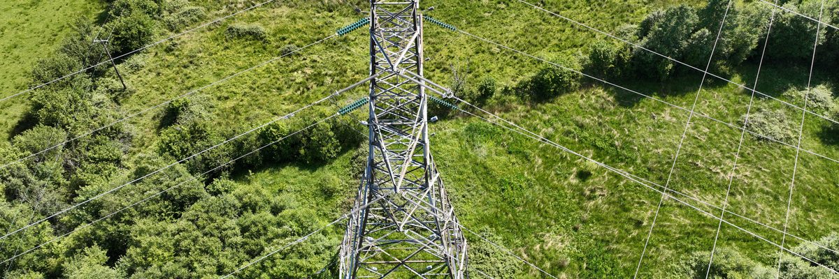
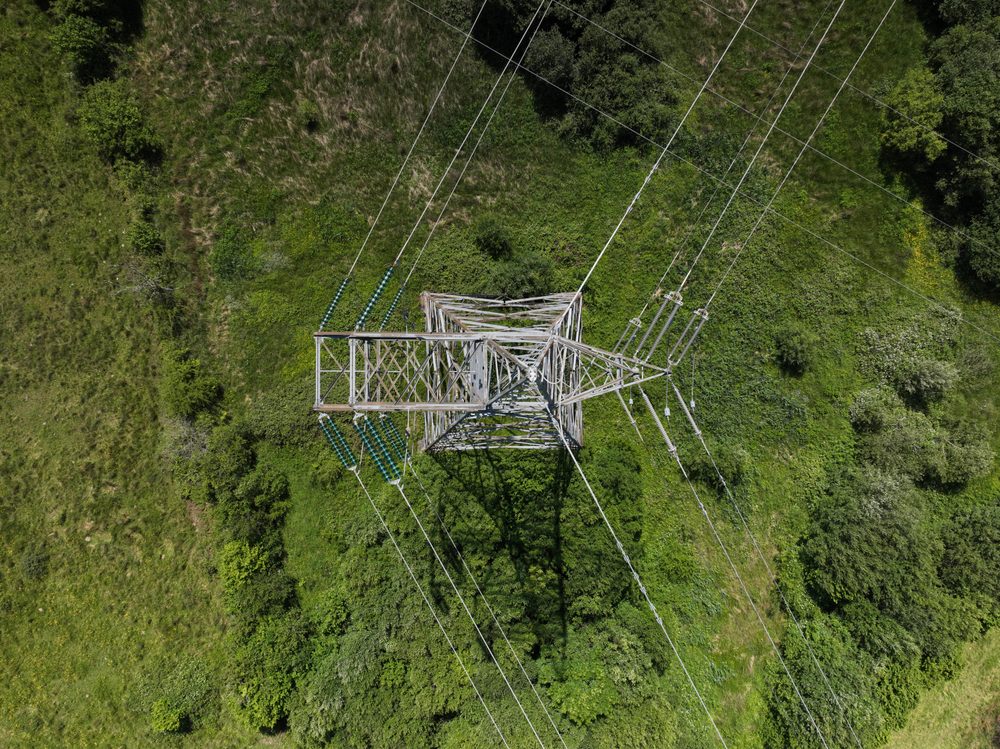
A manual drone capture against ESB's own plan, working tower by tower along the line with the network still in service.
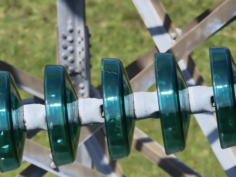
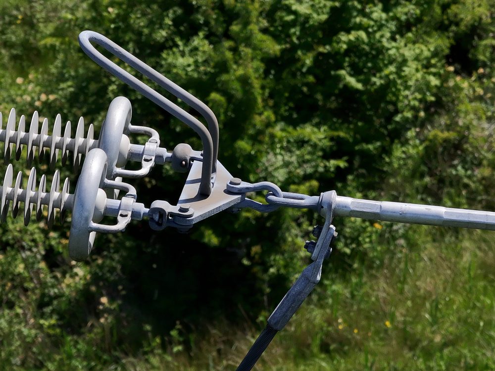
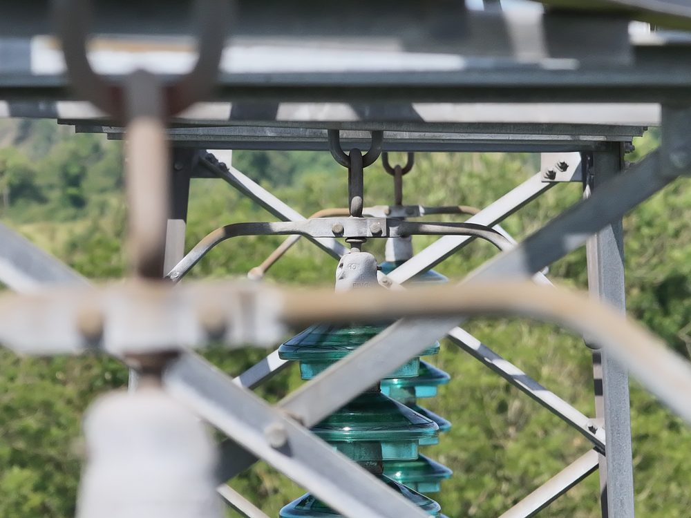
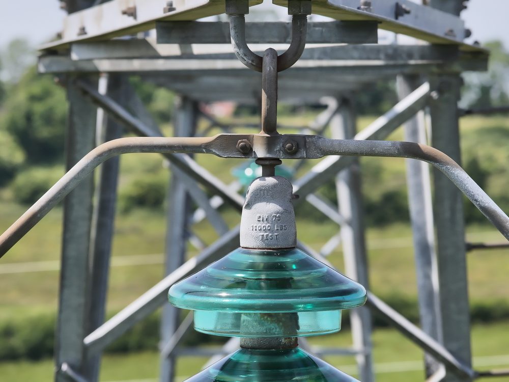
- Orders of magnitude better data The pilot can work close enough, and zoom far enough, to capture detail that ground optics simply cannot resolve.
- External detail a climber can't get The drone photographs the outside of the structure as well as the fittings, which the helicopter is too far away to record properly.
- No line shutdown The campaign runs with the line in service, so no towers have to be climbed and no circuit has to be taken out.
- Manual flight for the hard-to-see defects Corrosion sits under horizontal bars, so the camera goes low and looks up, with manual exposure control to read those dark areas.
- Built around ESB's standard The plan, the components and the angles all come from ESB's engineering requirements, not from a generic survey template.